2005
|
View Map of Route. Clicking on a number on the map will take you to that location in the journal. (when we get it complete).
More pictures coming soon.
We took Shirley, Karen's other mom
with us this trip. We flew in and out of Shannon Airport (much nicer than
Dublin Airport). We stay primarily on the West Coast. We bought Columbia
Sportswear waterproof hiking boots and Omni-Tech waterproof pants to add to our
Omni-Tech coats, and did some tromping around in more remote areas without
as much fear of wetness.
|
Itinerary: |
|
Thursday
9/15 - Portland, OR USA to Shannon Airport
Friday 9/16 - Shannon Airport to
Liscannor, Co.
Clare
Saturday 9/17 - Liscannor, Co. Clare to
Shannonvale, Co. Cork
Sunday 9/18 - Shannonvale, Co. Cork
Monday 9/19 - Shannonvale, Co. Cork
Tuesday 9/20 - Shannonvale, Co. Cork
Wednesday 9/21 - Shannonvale, Co. Cork
Thursday 9/22 - Shannonvale, Co. Cork
Friday 9/23 - Shannonvale, Co. Cork
Saturday 9/24 - Shannonvale, Co. Cork to Ballyferriter, Co. Kerry
Sunday 9/25 - Ballyferriter, Co. Kerry
Monday 9/26 - Ballyferriter, Co. Kerry
|
Tuesday 9/27 - Ballyferriter, Co. Kerry
Wednesday 9/28 - Ballyferriter, Co. Kerry
Thursday 9/29 - Ballyferriter, Co. Kerry
Friday 9/30 - Ballyferriter, Co. Kerry
Saturday 10/1 - Ballyferriter, Co. Kerry to
Corofin, Co. Clare
Sunday 10/2 - Corofin, Co. Clare
Monday 10/3 - Corofin, Co. Clare
Tuesday 10/4 - Corofin, Co. Clare
Wednesday 10/5 - Corofin, Co. Clare
Thursday 10/6 - Corofin, Co. Clare
Friday 10/7 - Corofin, Co. Clare
Saturday 10/8 - Corofin, Co. Clare to
Portland, OR USA
Sunday 10/9 - Arrived in Portland, OR
USA |
|
|
Portland, OR USA
|
Thursday 9/15
This year we took Karen's other mom
Shirley with us. We left Portland with many bags at sometime around 5am.
Shirley's son Dan Klug of the world renowned (or should be) White
Hart Forge took us to the airport. He didn't wear
his kilt or send us off with a tune on the pipes and left the claymore
at home, so we made good progress through the airport.
We had a bit of a layover in Atlanta
and were not encourage by the large headlines reading "Delta Declares
Bankruptcy" in every newsstand. Of course we were flying Delta, and
speculated that we'd be flying one engine short or some other cost cutting
measure. There was no perceivable difference. The service was good and we
arrived in one piece. We had minor luggage damage to one suitcase and
reported it and received appropriate documentation. We had purchased
luggage insurance from American Express prior to leaving. More on this
later. The short version is that claims are a major pain and probably not
worth anything short of losing your luggage altogether.
TOP
| BACK
|
Liscannor, Co. Clare
|
Friday 9/16
We arrived in Shannon at mid morning and collected our luggage and caught
a shuttle bus to Irish
Car Rental.  We
rented a Opel
Zafira, basically a small mini van, but quite compact. It allowed
Shirley to get in and out easily (knee problems were a constant plague for
her) and had plenty of room in the back for luggage which grew
exponentially throughout the trip. It sat up higher as well and gave a
better view while driving. It handled well and fit into tight spots
without any troubles. We'd recommend it for 3-4 adults. We
rented a Opel
Zafira, basically a small mini van, but quite compact. It allowed
Shirley to get in and out easily (knee problems were a constant plague for
her) and had plenty of room in the back for luggage which grew
exponentially throughout the trip. It sat up higher as well and gave a
better view while driving. It handled well and fit into tight spots
without any troubles. We'd recommend it for 3-4 adults.
We had some time to kill before our
B&B reservation time, so we left Shannon and headed towards Lahinch, intending
to drive slowly up the coast. We had a painful bout of driving again in
Ennis. The traffic was terrible and there was a unexplained slowdown. We
finally negotiated our way through and back out into open country. We
stopped for lunch at the Biddy
Early Brewery in Inagh near Ennis. The food was good and our first
beer in Ireland was microbrew. It wasn't bad, but we're spoiled coming
from Portland, Oregon, the capital of microbreweries,
so others might be a bit more enthusiastic. What we were really wanting
was that first Guinness. Shirley wasn't a beer drinker and stuck to tea
and whisky during the trip. We got her hooked on Powers
Gold as a change from her usual Scotch. Side note: Whisky and any
alcohol in general is much more expensive in Ireland. A fifth of Powers is
around 28 Euro while it sells for about $20 in the US. Those taxes are a
killer and are causing many pubs to shut down.
We drove to Lahinch
and spent some time wandering about the town and looking at the shops.
Lahinch is a golf, surfing and tourist attraction, so prices on some
things can be high. There were a number of restaurants that were
reasonably priced. We stopped into the Celtic
T-Shirt shop again, and made a few purchases. We were impressed as
before with the quality and creative designs. The weather was cold and
windy, and after awhile we stopped into Mother O'Brien's for a hot tea or
hot whisky as individual preferences dictated. It was a crowded, homey sort of place. The
food looked good and the crowd was younger and boisterous.
We drove on up through Liscannor and
to
the Moher
Lodge B&B. We stayed here last year and loved the atmosphere,
hostess and location. We were not disappointed this trip, and Mary
Considine made us feel welcome and sat Shirley down for a chat and tea in
front of the peat fire while Karen and I caught a quick nap. We
don't know how Shirley stayed awake, we were wiped after the flight, airport
and drive. The nap fortified us and we woke after a couple of hours.
Little did we know that this was the best bed of the trip (cue music for
ominous
foreshadowing of aching backs to come).
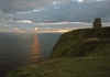
We had planned another trip out to the
Cliffs of
Moher at sunset if the weather held. There were clouds and wind,
but we thought we'd chance it and catch some dinner afterwards. We bundled
up and grabbed the camera gear and drove up the road. Moher
Lodge B&B is the closest you can stay to the cliffs, so it is a
short drive.
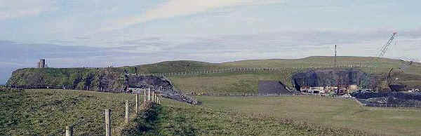
Surprise, they are remodeling the
Cliffs of Moher (OK, not the Cliffs,
but the visitor centre) so you have to park in a new car park across the
road. You have to do some extra walking and can't easily
get out to the Southern part (where it was posted no trespassing), but it is still worth the trip.
You can still trespass on the Northern side. We don't know how long the
remodeling will take, but it should look nice according to the plans and
drawings posted. This probably won't result in the same experience one has
now, the new will be much more tour bus oriented. We've also had disturbing
news via Cormac McConnell's Meanwhile
Back in Ireland column at Emigrant
Online, an always reliable source, that the new experience will be
expensive and is in the hole already as well.

Once we'd had enough of wind and the
sun had mostly set, we headed off to Liscannor for some food. Prices
seemed higher this year, and we entered several places and were scared off
by the prices and attitude. One place didn't want to give us a table
unless we were going for a full dinner. At 20 Euro plus for the dinner we
were not tempted or that hungry. All we wanted was a bowl of soup, chowder or a light
supper. We found that Fitzgerald's Bar in Lahinch fit the bill. Good
Guinness, interestingly tiled restrooms, semi-attentive service and good Irish
Stew and seafood. The seafood plate was prolific in the quantity, quality
and freshness.
After eating we called it a day, and drove back
to the B&B for a good and well deserved night's rest. We made a brief
stop at St. Brigid's Well to see if moonlight improved the pictures. Not
so much, it's essentially a cave and moonlight doesn't help much. Back at
Moher Lodge we tried to sit in front of the peat fire for a chat or to
read a bit, but the warmth made us drowsy, so off to bed.
TOP
| BACK
|
Liscannor, Co. Clare to Shannonvale, Co. Cork
|
| Saturday 9/17
An exceptional breakfast at Moher
Lodge fortified
us for the days adventures. Scott, of course, had the full Irish while
Shirley and Karen tried other items, they were all exceptional. Shirley was up and had eaten before
Karen and Scott left the room. We paid up and said our farewells. We'll be
back next time we travel through!
We made a daylight stop at St. Brigid's Well and
the graveyard above the well. The well had some new items as well as the
usual statues we
saw on our last trip. Evidently someone comes through periodically and
tidies up. We resolved to find a few more holy wells during the trip. Some
were real oddities like St. Flannan's Well in Co. Clare (see
10/5 entry below).

Further down the road we stopped at the graveyard
near Liscannor. Between brief showers, pushy German tourists, and rainbows, we
took some nice pictures. The ground was rough, but well worth the effort.
The graveyard overlooks the bay and is beautiful on a sunny day and
probably any other time as well. Another place to visit the next time.
Onward to our first Club Soda stop, and then
shortly after a stop for ice cream. Karen had been craving it since June
or more likely since our last trip, so we introduced Shirley to Irish soft serve at a
Tops Petrol Station. We also introduced her to true Irish plumbing in all
its leaky glory. She survived! The interior of the station/store must have
suffered recently from a bout of roof troubles. The smell of mildew almost
killed us. It felt like breathing pure mold spores. The floor was spongy
as well.
  We made it through Ennis without incident and on
to Limerick. We skirted the city and made good time down towards Cork. We
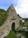
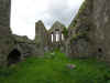
passed through Buttavent, and had to stop at the ruined friary in the town
center.
It was too compelling. This was Shirley's first exposure to larger ruined
structures as well as a Irish church in good condition. We spent an hour
or so wandering through the ruins and looking at the stonework and
headstones.
A brief shower and a chill in the air drove us to the nearest pub.
Maloney's looked the typical Irish pub with a few regulars lounging about
before noon. A round of hot whiskies set us right and drove away the
chill. We had to make a fast exit as someone was smoking in the pub on the
other side (Karen is allergic). We
didn't see them, but the smell left no doubt. This was the only real
encounter with smoking in a pub the whole trip. Most bartenders and
patrons are quick to jump on any offender. We made it through Ennis without incident and on
to Limerick. We skirted the city and made good time down towards Cork. We
passed through Buttavent, and had to stop at the ruined friary in the town
center.
It was too compelling. This was Shirley's first exposure to larger ruined
structures as well as a Irish church in good condition. We spent an hour
or so wandering through the ruins and looking at the stonework and
headstones.
A brief shower and a chill in the air drove us to the nearest pub.
Maloney's looked the typical Irish pub with a few regulars lounging about
before noon. A round of hot whiskies set us right and drove away the
chill. We had to make a fast exit as someone was smoking in the pub on the
other side (Karen is allergic). We
didn't see them, but the smell left no doubt. This was the only real
encounter with smoking in a pub the whole trip. Most bartenders and
patrons are quick to jump on any offender.
 We picked up the driving pace as we had to be in
Shannonvale at a reasonable hour, and had a long way to drive. We made it
through Cork easily and apart from a wrong turn and short detour towards
Waterford, made it
to the Shannonvale Cottages near Clonakilty
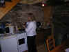
after sunset. Seamus, our host, showed us the cottage. It was rustic,
charming and full of "fine" Irish craftsmanship. Apparently
these were restored stables, except now they stabled people. The walls were
stone and the upstairs and ceiling all of wood. The wood was loosely
fitted to the extent that you could clearly hear and sometimes see anything going on in any
part of the cottage including the bathroom. The toilet rested charmingly
on a single bolt and rocked you gently while in use. Unless the shower
door was shut just right, it precipitated on the person doing dishes a
floor below. The stairs were narrow, steep and fairly solid up to at least 100
lbs of weight. We didn't manage to break anything, but they bent and creaked
alarmingly. Scott observed that the Irish were master stoneworkers, but
seemed to be confused when confronted by wood. Much of the wood appeared
to be carved rather than cut, giving the appearance of being worked by a
family of beavers. Overall the place was fairly comfortable and adequate for a
flexible family or younger people. It was a bit rustic for Shirley and the steep
stairs were a concern. Scott and Karen's bed was a wood frame strung with
rope and a mattress atop, functional and semi-comfortable. As it was the end of the tourist season, we were
the only guest and saw little of our host and family except for mornings
as the children went to school. We picked up the driving pace as we had to be in
Shannonvale at a reasonable hour, and had a long way to drive. We made it
through Cork easily and apart from a wrong turn and short detour towards
Waterford, made it
to the Shannonvale Cottages near Clonakilty
after sunset. Seamus, our host, showed us the cottage. It was rustic,
charming and full of "fine" Irish craftsmanship. Apparently
these were restored stables, except now they stabled people. The walls were
stone and the upstairs and ceiling all of wood. The wood was loosely
fitted to the extent that you could clearly hear and sometimes see anything going on in any
part of the cottage including the bathroom. The toilet rested charmingly
on a single bolt and rocked you gently while in use. Unless the shower
door was shut just right, it precipitated on the person doing dishes a
floor below. The stairs were narrow, steep and fairly solid up to at least 100
lbs of weight. We didn't manage to break anything, but they bent and creaked
alarmingly. Scott observed that the Irish were master stoneworkers, but
seemed to be confused when confronted by wood. Much of the wood appeared
to be carved rather than cut, giving the appearance of being worked by a
family of beavers. Overall the place was fairly comfortable and adequate for a
flexible family or younger people. It was a bit rustic for Shirley and the steep
stairs were a concern. Scott and Karen's bed was a wood frame strung with
rope and a mattress atop, functional and semi-comfortable. As it was the end of the tourist season, we were
the only guest and saw little of our host and family except for mornings
as the children went to school.

We lugged the bags inside and upstairs and did
some minimal arranging before going in search of food. We drove into
Clonakilty, and after some walking up and down found the O'Donovan
Hotel lounge. It was a warm and friendly pub atmosphere with a couple
of local families settled in for food. We grabbed a corner booth and
tucked into Irish stew and Murphy's
stout. When in Co. Cork, order the Murphy's. The Guinness doesn't fare
so well from the transportation, and Murphy's is the local brew and just as
good if not better.
On the way back to the cottage, we stopped at the
Spar to purchase groceries. Our intent was to cook our own meals much of
the time and take lunch fixings with us on day trips. We had our first
exposure to Irish grocery prices and were amazed that they were so much
higher than at home. Still it was cheaper than eating out. Scott found
some Hornet Scrumpy in a 2 liter bottle, and was well chuffed. We drove
back to the cottage and put away the groceries in the mini fridge and
headed for our respective stalls for bed.
TOP
| BACK
|
Shannonvale, Co. Cork
|
| Sunday 9/18
We rose early and fixed breakfast. We had agreed
to meet the Harrington's in Castletownbere on the Beara Peninsula for
dinner. We met them last year when we had dinner at their restaurant.
Karen and their daughter struck up a friendship and it looked like she
might come stay with us for the summer, but things didn't work out on our
end. They didn't hold it against us and invited us to visit. It is a long
drive from Cork to Castletownbere not including distractions like scenery
and cows.
We made several stops on the way when the scenery
proved irresistible. We went through Ballingeary, the gateway to Beara, and
turned towards Castletownbere. The day was intermittently cloudy and
sunny, and we drove along the water most of the way. the views were
gorgeous with the sun on the water and the clouds casting shadows along
the high hills to our right as they scuttled along. We purchased gas
outside of Castletownbere and vowed not to complain about gas prices at
home. Around $6 a gallon makes $2.25 sound like a luxury.
We rattled into Castletownbere in the early
afternoon and parked in the city square area. The town was bustling and
there was very little parking. We walked down the street and there was
Jack Patrick's right across from McCarthy's Bar
(of book fame, that's it on the cover, no nuns out in front though). We
never did make it into McCarthy's
this trip, maybe next time. The sign in Jack Patrick's read closed, but
they let us in anyway. We were warmly greeted by Cathy Harrington and
shortly after introduced to her husband John. He had a fearsome twinkle in
his eye and both proved to be a entertaining host and hostess. We were served crab, shrimp
and chicken sandwiches (not combined in the same sandwich but separate) and we all sat down for a delicious lunch and chat.
After lunch we got a quick tour of the restaurant
and butcher shop and then we all piled in their small
car (made smaller by
the three robust Americans) and the five of us headed off for a guided
tour of the Beara Peninsula.
 We drove back East and then up to Healy Pass. The
long winding road up in a small
car with 5 bodies gave us some concern,
but the
car chugged along and we made it to the top. Looking South you
could see back to Co. Cork and North was Co. Kerry with Glanmore Lough
below. There was a small gift shop and a lookout point where we stopped
and took a few pictures. We drove back East and then up to Healy Pass. The
long winding road up in a small
car with 5 bodies gave us some concern,
but the
car chugged along and we made it to the top. Looking South you
could see back to Co. Cork and North was Co. Kerry with Glanmore Lough
below. There was a small gift shop and a lookout point where we stopped
and took a few pictures.  There was a good stiff breeze blowing, Karen had
a clothing malfunction and we
quickly headed back to the
car. We continued on and headed West deeper
into the peninsula. We passed through several small towns, all the while
hearing stories about the area. We traveled along the coast out to the Dursey Island cable
car. We parked next to the cable
car and got out to
watch the churning water below. One takes the cable
car to get out to Dursey Island. It looked like a terrifying ride especially if shared with
a cow or a few sheep. On the way back to Castletownbere we passed Puxley
Mansion and drove by on the way to Dunboy
Castle. Evidently Puxely
Mansion is undergoing renovations to become a 4-6 Star hotel. Hope
they build a helepad or airport as it is a long drive from anywhere. We made a
detour to visit the Dunboy
the local O'Sullivan family castle. Karen liked this as O'Sullivan is one of her
family's names. We wandered around and poked at the ruins beautifully
situated along the water. Once again the cold breezes made us retire to
the
car and we drove back to Castletownbere. There was a good stiff breeze blowing, Karen had
a clothing malfunction and we
quickly headed back to the
car. We continued on and headed West deeper
into the peninsula. We passed through several small towns, all the while
hearing stories about the area. We traveled along the coast out to the Dursey Island cable
car. We parked next to the cable
car and got out to
watch the churning water below. One takes the cable
car to get out to Dursey Island. It looked like a terrifying ride especially if shared with
a cow or a few sheep. On the way back to Castletownbere we passed Puxley
Mansion and drove by on the way to Dunboy
Castle. Evidently Puxely
Mansion is undergoing renovations to become a 4-6 Star hotel. Hope
they build a helepad or airport as it is a long drive from anywhere. We made a
detour to visit the Dunboy
the local O'Sullivan family castle. Karen liked this as O'Sullivan is one of her
family's names. We wandered around and poked at the ruins beautifully
situated along the water. Once again the cold breezes made us retire to
the
car and we drove back to Castletownbere.
At the end of the tour they took us by Brookhaven,
their rental holiday house during the tourist season. It was lovely and
would be a perfect place to stay for a week on Beara peninsula (hint hint,
give them a call and give it a
try).
Back at Jack Patrick's we sat down for a pint and
chat while Cathy produced an excellent dinner of lamb, carrots, potatoes
and other goodies and a wonderful dessert. Connor, their son was brought
in and further entertained us (he must get it from his father). We met
Cathy's sister, and a niece later in the evening. Eventually we dragged
ourselves to the door for a the long drive back to Shannonvale. We were
sorry to leave and appreciated the time they took to show us the peninsula
and share meals, stories and time with us. We'll be back if they'll have
us.
It was a long and uneventful drive back to
Shannonvale on a fairly clear night. We stopped at one point for a
plumbing break and the sky was clear with a bright moon and liberally
sprinkled with stars. We arrived at the cottage in one piece and did some
more star gazing then then off to bed.
TOP
| BACK
|
Shannonvale, Co. Cork
|
| Monday 9/19
The sound of rain beating on the roof and
skylight woke us. We had no particular plans for the day so we rose leisurely
and had breakfast. Irish
Muesli was always part of breakfast and Karen's favorite.
Scott was sole consumer of the black
pudding but Shirley gave the white
pudding a go with average results. The Clonakilty and Galtee sausages
were a favorite for all.
The weather continued to stay grey and damp, so
we drove into Clonakilty and explored the town. Parking is at a premium
and can be difficult to find. We spent some time in the bookstore and
other small shops up and down the main street. We dropped off some laundry
to be picked up later that day and then drove on to the Rosscarbery area
just down the road. We had in mind to find a couple of sights in the area
including Coppinger's
Court, CastleFreake and the Drombeg Stone Circle. We had purchased a
book a few years ago by Simon Marsden called "In Ruins: The Once Great Houses of
Ireland". It contains infrared photos and history of ruined castles
and manor houses in Ireland. Online we found a listing
of the directions to the various sites and wanted to visit as many as
we could. We crossed a long causeway and ended up at a hideous looking
hotel and parked in their lot to access a map board across the street.
Risking life, limb and traffic, Scott crossed the busy road to check out
the sign. Using the wonders of modern technology, he took a digital
picture of the map and we perused it at our leisure in the relatively dry
comfort of the
car. We established our relative location and directions
and headed off for Coppinger's Court.
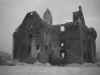 Coppinger's Court proved to be a bit of a
challenge. As we drove along the small country road we could see it across
the field. Way across the field. There seemed to be a road running
parallel behind it with no roads running between ours and it. We continued
on and soon realized that we'd gone much to far and probably one of the
small single lane dirt roads was going to be necessary. At this point we
were closer to the Drombeg Stone Circle than Coppinger's Court. A shift in
strategy ensued and we were off to find the Drombeg. This proved easier
and after a bit of driving with relatively good signage we located the
car
park. Coppinger's Court proved to be a bit of a
challenge. As we drove along the small country road we could see it across
the field. Way across the field. There seemed to be a road running
parallel behind it with no roads running between ours and it. We continued
on and soon realized that we'd gone much to far and probably one of the
small single lane dirt roads was going to be necessary. At this point we
were closer to the Drombeg Stone Circle than Coppinger's Court. A shift in
strategy ensued and we were off to find the Drombeg. This proved easier
and after a bit of driving with relatively good signage we located the
car
park.
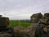
 This site is overrated, but worth a quick look if you have not seen a stone circle.
Around the corner to the South is a small prefab building that may eventually be a visitor center. At this point its sole purpose is to extract several Euro from your wallet or purse. If you go in the off season, it will most likely be closed. Go through the gate and down the fuchsia lined lane. The lane is also used by tractors and cows, so watch your step! The lane takes a jog to the right and continues on a way. The site is a good distance, so be prepared for some walking that may not be suitable for older or very young folks. This site is overrated, but worth a quick look if you have not seen a stone circle.
Around the corner to the South is a small prefab building that may eventually be a visitor center. At this point its sole purpose is to extract several Euro from your wallet or purse. If you go in the off season, it will most likely be closed. Go through the gate and down the fuchsia lined lane. The lane is also used by tractors and cows, so watch your step! The lane takes a jog to the right and continues on a way. The site is a good distance, so be prepared for some walking that may not be suitable for older or very young folks.
When the trail ends you are looking out onto the Drombeg Stone Circle and the countryside beyond. Well, you might be looking out on the countryside, or just looking at driving rain and clouds. There is little cover or protection from wind and rain on the walk and in the clearing, so if the sky looks threatening, be prepared to run for it.
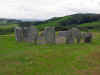 The stone circle is overly manicured and pristine. The dirt area was neatly swept and the grass recently trimmed. A nice view out to surrounding farms, cows, and fields was more interesting to us than the circle. In the center of the circle was a pile of coins, bottle caps, and miscellaneous garbage. Evidently this is the modern equivalent of a sacrifice. At least I assume so as dead people, cows and sheep were not in evidence. I guess we're cheap these days, as the coins were all 10¢ or less.
Beyond the circle is evidence of a Neolithic commune. Stone huts were probably used by Neolithic slackers communing with the mystic and nature during bad weather. The large cooking trough was used to cook pilfered cows, sheep or veggies depending on the prevalence of vegans in that time period. OK, maybe this is overly harsh, but the modern slackers had left quite a bit of trash about in their effort to get close to the mystical at the overly manicured Drombeg Stone Circle.
If you want to see a really nice stone circle, travel a lot further west to see the Ardgroom Stone Circle on the Beara Peninsula, and don't forget to pick up your trash and keep your pennies in your pocket!
  Encouraged
by our success in finding the stone circle, but disappointed by it in
general, we resumed our quest for Coppinger's Court. We took a road off of
the route to Drombeg, but heading in the right direction. We traveled for
a few miles along a wooded road. No luck. We ended up on a hill top that
had a great view of the valley. We could see Coppinger's in the distance,
but no road to it. Back we went. We ended up back on the main road we
started on. We retraced our route back to the sign by the ugly hotel and
tried again. We took the first road we saw and ended up back on the route
we had just come from Drombeg. We continued on the road slowly and through
the trees we could see Coppinger's Court (we hoped). We found parking
along the road and loaded up with rain gear and cameras. Encouraged
by our success in finding the stone circle, but disappointed by it in
general, we resumed our quest for Coppinger's Court. We took a road off of
the route to Drombeg, but heading in the right direction. We traveled for
a few miles along a wooded road. No luck. We ended up on a hill top that
had a great view of the valley. We could see Coppinger's in the distance,
but no road to it. Back we went. We ended up back on the main road we
started on. We retraced our route back to the sign by the ugly hotel and
tried again. We took the first road we saw and ended up back on the route
we had just come from Drombeg. We continued on the road slowly and through
the trees we could see Coppinger's Court (we hoped). We found parking
along the road and loaded up with rain gear and cameras.
Passing through a cow gate, we walked down a
overgrown stone wall through a pasture. The sky was dark and threatened a
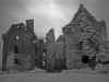
downpour. Coming out of a grove of trees THERE IT WAS!!! In all its
dilapidated glory. It actually wasn't much to see, and the cows had made
copious deposits all around. Karen and Shirley elected to return to the
carcar, less than impressed.
Scott was determined to get some Infrared
pictures regardless. He vaulted the stone wall (ok, he crawled over with
the cameras and tripod), avoiding the cow deposits, and set up the tripod.
 The
wind picked up, and the first few drops began to fall. He attached the
camera, set up the shot, and attached the IR lens. Each exposure was
approximately 30 to 60 seconds. He took a few shots, wiping the lens
frequently. He then tromped through the cow muck and went through the
ruins. The cows had taken up residence, and the inside was worse than the
field. I exited out the back into a heavy rain. He trotted across the
field, and turned a few times to take a quick shot. The backside was more
interesting than the front, but the rain had become a downpour and he was
concerned about keeping the cameras dry. He ran across the field and back
to the
car. We'd highly recommend Coppinger's Court in good weather. There
are many photo opportunities around the site. With some sun and clouds,
the pictures would be spectacular. Otherwise, proceed with caution! The
wind picked up, and the first few drops began to fall. He attached the
camera, set up the shot, and attached the IR lens. Each exposure was
approximately 30 to 60 seconds. He took a few shots, wiping the lens
frequently. He then tromped through the cow muck and went through the
ruins. The cows had taken up residence, and the inside was worse than the
field. I exited out the back into a heavy rain. He trotted across the
field, and turned a few times to take a quick shot. The backside was more
interesting than the front, but the rain had become a downpour and he was
concerned about keeping the cameras dry. He ran across the field and back
to the
car. We'd highly recommend Coppinger's Court in good weather. There
are many photo opportunities around the site. With some sun and clouds,
the pictures would be spectacular. Otherwise, proceed with caution!
Karen had used the time to make some sandwiches
of Irish cheddar and ham. We munched the sandwiches, washed it down with
club soda, and opened a bag of Tayto chips. The rain was coming down so
hard that driving was impossible. We waited it out and a half hour later,
lunch secured inside us, we were able to retrace our route back. We drove back towards Cork and took
some side roads to see if we could find CastleFreake. It was not visible
from the road, and signs along the road said No Trespassing and warned
that this land was owned by a gun club. This combination didn't seem
prudent to challenge, so we drove back towards Clonakilty.
We decided to drive further down the road as it
was still early and the weather was improving. We headed for Timoleague to
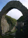
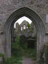
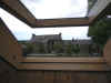
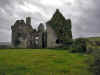
see the Friary. Timoleague has two attractions we discovered. One is the Timoleague Friary, found near the water's edge near a stone bridge. The site is very well kept, with labeled rooms and a fine graveyard with some interesting headstones. Spend some time wandering around and imagine what it was like to live there. The view of the ocean inlet from several of the windows is beautiful and makes for some good pictures. There is no roof and this can be challenging during a storm as we discovered.
Look for the wart well in the friary. Supposedly dipping your afflicted parts into the water will cure warts. We didn't have any so we can't attest to its powers.
The place was infested with crows roosting on the walls and around the tower. I didn't see a lot of droppings, but be careful looking up.
Timoleague abbey was founded by the Franciscans in 1240 A.D. The abbey was built on the site of a monastic settlement founded by Saint Molaga in the 6th century. The village name comes from the Irish for House of Molaga, Tigh Mologa. The Friary was used up until 1629.
Up the hill above the town is the Timoleague Catholic Church (the church of the nativity of our lady) has triple stained-glass window by the well-known artisan, Harry Clarke. Beautiful mosaic and tile work abound throughout. We spent some time here exploring the grounds. It is well worth a drive up the hill to see both the church and the grounds. There is also a nice bell near the church.
As we came back into Clonakilty, we decided to
stop at O'Donovan
Hotel lounge for a hot whisky to drive off the chill. We found this
delightful drink last year after a cold wet day at Cashel. It is pretty
simple, and we've recreated it at home with good success. It is basically
just a shot of Irish whisky, lemon and sugar topped off with hot water in
a mug. Lemon and sugar are to taste, you can also dunk a Barry's
Tea bag in for more flavor. We picked up our laundry and did a
bit of grocery shopping for dinner. We picked up some HP
Sauce and a bottle of wine, and cooked up the steak and potatoes we
purchased the night before.
We tried a bit of telly viewing, but there were
only three channels repeated five times. None came in well or had anything interesting, so we
did a bit of reading and then up the stairs to bed.
TOP
| BACK
|
Shannonvale, Co. Cork
|
| Tuesday 9/20
The morning dawned a bit grey, but we'd determined
to take an excursion. We fueled up with eggs, sausage and muesli, loaded
up the
car and headed east. Our ultimate goal was the Waterford Crystal
Factory, but we expected to get there in a leisurely fashion. We were not
wrong and quickly made a detour at Midleton to visit the Old
Midleton Distillery. It was a bit more pristine than the Jameson
Distillery in Dublin, and we passed on the tour and went directly to the
restrooms. After the break, we took a swing through the gift shop and
picked up a few items for gifts. It is probably best to not purchase
whiskey at the distillery unless it is a special bottling only available
there. Most can be purchased for less at the duty free shop in the
airport. You also don't have to cart it around the whole trip either.
Nothing is more distressing than a broken bottle of uisce
beatha in your luggage.
We hopped back on the road and headed towards
Waterford. The trip took longer than expected, but was easy driving on a
major road. We made a lunch stop in the parking lot behind a pub.
Sandwiches were produced under Karen's expert hand and we munched on
bread, sandwich
spread, meat and Irish cheese washed down with Club
Soda. Back on the road and continued on towards Waterford. The
only difficulty was a traffic slowdown coming into Waterford near the
factory. We made is safely into the large parking lot and got out of the
car. Much stretching ensued as we walked towards the entrance. We passed a
lot of tour buses and sure enough, there were the usual track suit clad
crowds milling around. We dodged the slow moving herd and after another
rest stop, bought (expensive) tickets for the tour. We killed some time
until the tour started and then cued up for a bus ride through the
facility to the actual tour area. Our tour guide was somewhere between
bored and apathetic, probably understandable as we were the last tour of
the day.  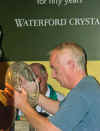 A brief audio visual welcome and presentation was next and then
we were off to walk through the process of crystal making. Surprisingly it
was quite interesting as you were watching actual work being done. The
process is painstaking and lengthy. There was a fair bit of walking, but
the track suit crowd held up well. Cameras were allowed in most areas, but
the flash was discouraged or prohibited in some areas. I suppose a flash
going off as you were doing some precise crystal cutting could be
distracting. The tour ends predictably in the gift shop. This causes some
interesting effects on people. Females become instantly energized, their
eyes light up and they proceed to examine each type and kind of crystal as
if they were actually going to purchase it all. Males on the other hand
seem to go limp, the eyes glaze over and one hand clutches their wallet in
a protective gesture. Scott blew through all the crystal and headed down
to look at the other gift areas before Karen and Shirley covered a quarter
of the floor area. We escaped without devastating financial ruin, but did
our part to support Waterford
crystal and Belleek China. A brief audio visual welcome and presentation was next and then
we were off to walk through the process of crystal making. Surprisingly it
was quite interesting as you were watching actual work being done. The
process is painstaking and lengthy. There was a fair bit of walking, but
the track suit crowd held up well. Cameras were allowed in most areas, but
the flash was discouraged or prohibited in some areas. I suppose a flash
going off as you were doing some precise crystal cutting could be
distracting. The tour ends predictably in the gift shop. This causes some
interesting effects on people. Females become instantly energized, their
eyes light up and they proceed to examine each type and kind of crystal as
if they were actually going to purchase it all. Males on the other hand
seem to go limp, the eyes glaze over and one hand clutches their wallet in
a protective gesture. Scott blew through all the crystal and headed down
to look at the other gift areas before Karen and Shirley covered a quarter
of the floor area. We escaped without devastating financial ruin, but did
our part to support Waterford
crystal and Belleek China.
Once free of the temptation to consume, we began the
drive back to the cottage. Nothing interesting happened or was seen as it
was dark. Scott managed to stay awake and we arrived back without
incident. We had some sandwiches from leftover steak and then began the
long climb up the creaky stairs to the creaky bed.
TOP
| BACK
|
Shannonvale, Co. Cork
|
| Wednesday 9/21
  We
decided to see what all the fuss was about Kinsale. It was a short jaunt
down the coast from the cottage and after a leisurely breakfast, we loaded
into the
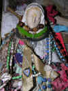
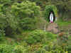
car and off we went. Along the way we passed Our Lady's Shrine
at Ballinspittle. Not being ones to pass up an interesting site, we
stopped for a few pictures and to read about it all. Evidently the statue
of Mary has been seen to move on occasion and crowds gathered to view the
next movement. I'm not sure if it was to have moved side to side or
actually walking about. In any case, it appeared to be fixed in place
during our visit. The crowds were singularly in absence as well and we
observed alone. We
decided to see what all the fuss was about Kinsale. It was a short jaunt
down the coast from the cottage and after a leisurely breakfast, we loaded
into the
car and off we went. Along the way we passed Our Lady's Shrine
at Ballinspittle. Not being ones to pass up an interesting site, we
stopped for a few pictures and to read about it all. Evidently the statue
of Mary has been seen to move on occasion and crowds gathered to view the
next movement. I'm not sure if it was to have moved side to side or
actually walking about. In any case, it appeared to be fixed in place
during our visit. The crowds were singularly in absence as well and we
observed alone.
 Several
other ruins and points of interest passed by until we reached Kinsale. Now
we've heard a lot about how charming, picturesque and wonderful Kinsale
was. The houses and shops were brightly painted. Lots of shopping was
available, but prices seemed to be high for all class of goods and food as
well. The roads were narrow and steep as the town perches above the
harbor. Overall I'd say it was overrated. There are many more charming
towns and certainly better shopping. If you have not been around Ireland
much and this was your first exposure, it could be impressive. We had
lunch in a small pub and the food was average and the service poor. We'll
give Kinsale a miss next time. Clonakilty was far more picturesque and
charming. Several
other ruins and points of interest passed by until we reached Kinsale. Now
we've heard a lot about how charming, picturesque and wonderful Kinsale
was. The houses and shops were brightly painted. Lots of shopping was
available, but prices seemed to be high for all class of goods and food as
well. The roads were narrow and steep as the town perches above the
harbor. Overall I'd say it was overrated. There are many more charming
towns and certainly better shopping. If you have not been around Ireland
much and this was your first exposure, it could be impressive. We had
lunch in a small pub and the food was average and the service poor. We'll
give Kinsale a miss next time. Clonakilty was far more picturesque and
charming.
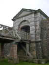  The
more interesting part of the area is Charles Fort from the 17th century
and James Fort from about 1600 across the bay. Charles Fort is a large and
fairly intact structure. A large causeway into the fort is impressive and
also houses the spot where they collect your money. We didn't see anything
spectacular enough to justify the entry fee, perhaps next time. The wind was blowing
off the water, and
Shirley wasn't comfortable at the thought of the exposed fort. There were a number of
sailboats out on the bay. We waked around the perimeter of the fort and
took a few pictures of the heavy fortified walls. Driving around the bay,
back through Kinsale we found a sign to James Fort. A short drive put us
directly across the bay from Kinsale. Karen and Shirley didn't feel like
and expedition, so I loaded up with camera gear and jogged up the trail The
more interesting part of the area is Charles Fort from the 17th century
and James Fort from about 1600 across the bay. Charles Fort is a large and
fairly intact structure. A large causeway into the fort is impressive and
also houses the spot where they collect your money. We didn't see anything
spectacular enough to justify the entry fee, perhaps next time. The wind was blowing
off the water, and
Shirley wasn't comfortable at the thought of the exposed fort. There were a number of
sailboats out on the bay. We waked around the perimeter of the fort and
took a few pictures of the heavy fortified walls. Driving around the bay,
back through Kinsale we found a sign to James Fort. A short drive put us
directly across the bay from Kinsale. Karen and Shirley didn't feel like
and expedition, so I loaded up with camera gear and jogged up the trail 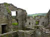  towards
the fort. The job quickly slowed to a trudge as the trail rose and wound
around. Not to far up the ground opened up onto the top of the point
overlooking the harbor entrance. Across the harbor, one could see Charles
Fort. The ruins of James Fort were much more interesting to investigate
and didn't have an entrance fee. The walls were broken and little remained
of the wall of numerous buildings inside the walls. I spent a happy half
hour or so climbing and taking pictures before duty called and I headed
back to the
car. towards
the fort. The job quickly slowed to a trudge as the trail rose and wound
around. Not to far up the ground opened up onto the top of the point
overlooking the harbor entrance. Across the harbor, one could see Charles
Fort. The ruins of James Fort were much more interesting to investigate
and didn't have an entrance fee. The walls were broken and little remained
of the wall of numerous buildings inside the walls. I spent a happy half
hour or so climbing and taking pictures before duty called and I headed
back to the
car.
 Along
the way back to Shannonvale we passed a old stone house or barn, it was
hard to tell which. The cows seemed comfortable near it, so my guess was a
barn. Along
the way back to Shannonvale we passed a old stone house or barn, it was
hard to tell which. The cows seemed comfortable near it, so my guess was a
barn.
 Back
at the cottage we had a nice dinner and relaxed with a hot whisky or
scrumpy, depending on the preference. Obviously mine was finishing the
last of the scrumpy. Back
at the cottage we had a nice dinner and relaxed with a hot whisky or
scrumpy, depending on the preference. Obviously mine was finishing the
last of the scrumpy.
TOP
| BACK
|
Shannonvale, Co. Cork
|
| Thursday 9/22
 The
morning dawned a bit grey with very low clouds. Very low, so low that they
appeared as water droplets on the windows. A lovely soft Irish day. We
took a leisurely approach to the morning and decided that some local
excursions were in order. We would try to find the Michael Collins
monument where he had been assassinated and wander Northward to the Cork
Gaeltacht (Irish speaking region) around Ballyvourney. The
morning dawned a bit grey with very low clouds. Very low, so low that they
appeared as water droplets on the windows. A lovely soft Irish day. We
took a leisurely approach to the morning and decided that some local
excursions were in order. We would try to find the Michael Collins
monument where he had been assassinated and wander Northward to the Cork
Gaeltacht (Irish speaking region) around Ballyvourney.
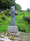
We made a brief stop in Clonakilty to get our
bearings, accumulate any available instructions on finding the Michael
Collins ambush site and to stock up on Club
Soda and a few snacks. The ambush site
wasn't to far away, near Bandon at a place called Beal na mBlath. You can
read the details of the ambush here and more about Michael Collins here.
The ambush site appeared out of nowhere, as you'd expect a good ambush
site to do. You're winding along a country road, overhung with trees and
there it is. A large stone cross on a raised platform with a marker
nearby. We parked and got out to take a look. There were flowers in
several places and the site looks well visited although no one came by
while we were there. An annual commemoration of his death is held on the
spot. We had watched the movie Michael Collins (well played by Liam Neeson) before we left and had a read a book
 or two as well knowing we'd be in the area. We left quietly and headed
further North.
or two as well knowing we'd be in the area. We left quietly and headed
further North.
 Further along we saw a sign to a toy soldier
factory. As we appeared to be in the middle of nowhere, finding a town let
alone a factory seemed amazing. We followed the signs and after much
winding, twisting and turning, the road led to a toy soldier factory. The
factory is 3 km from the N22 between Cork and Killarney. The travel time
from Killarney is 35 min and Cork 50 min.
Further along we saw a sign to a toy soldier
factory. As we appeared to be in the middle of nowhere, finding a town let
alone a factory seemed amazing. We followed the signs and after much
winding, twisting and turning, the road led to a toy soldier factory. The
factory is 3 km from the N22 between Cork and Killarney. The travel time
from Killarney is 35 min and Cork 50 min.
Their hours according to the website are ambiguous, but there you have it:
9am to 5pm GMT Monday to Friday all year,
Summer hours (June, July, August)
Open 10 to 4p.m GMT on Saturdays and Irish Bank Holidays.
Closed Sundays.
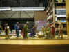
Fortunately
for us, they were open and in we went. The place is actually called Prince
August Toy Soldier Factory. They have a nice sized showroom with all
manner of figurines, both finished and unfinished depending on your
creative abilities. They also have tours where you can see the molds and
figures being made. You can also purchase molds and metal (usually pewter)
and make your own. We purchased a couple of kits as gifts. It was nice to
see such unusual entrepreneurship in such a remote location. If you are in
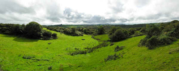
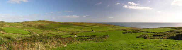
the area, it is well worth a visit. We had to retrace our steps back to the main road
and towards Ballyvourney, but there was beautiful scenery along that way
as evidenced by the panorama below.
 Ballyvourney in Co. Cork is a lovely little town
on the way to Killarney. We didn’t actually intend to go to Killarney,
but traveling in Ireland is like that. You end up where you least expect.
We were minding our business, wandering along the countryside of Cork with
no intent on entering Co. Kerry. We stopped in Ballyvourney as there is a
nice stone bridge across a large stream running through town. We crossed
the bridge, turned around and found some parking. The road was fairly busy
for its size and we watched our parts and the cars parts as we got out and
headed towards a fence by the bridge. No sooner had we started taking
pictures than a loud thump thump sounded behind us. Something clattered
along and landed a few feet away. No sooner had we registered the presence
of a still rolling hubcap than we heard more thumping and clunking sounds.
A
car was limping along across the road and pulled into a drive. It was
listing hard to the right and both tires were flat. We grabbed the hubcap
and went to investigate. An American couple was out and examining the
remains of two perfectly good tires. Not only were the tires shredded, but
the wheels were severely dented as well. Pretty much a total loss.
Evidently the husband had grown tired of driving and in spite of the fact
he was the covered driver and his wife didn’t see well, he’d had her
drive while he took a nap. She did fine for a while, but as she entered
the town she followed the road and was driving in the parking lane.
Unfortunately the parking lane ended with a high curb and she ran over
that with both tires. Her husband was rudely awakened and none to pleased
with the outcome. Of course the spare didn’t fit the
car, not that it
made a difference with two dead tires. The town had only petrol and no
garage. The nearest garage was in Killarney. We offered to take the wife
into Killarney while the husband stayed to guard his golf clubs. Thus we
found ourselves going into Co. Kerry, a good distance from our cottage. We
arrived in Killarney, found a garage and got her sorted out. The owner was
in a good humor (saw the Euro signs) and chuckled at the mishap. One got
the feeling that it wasn’t the first time. He found two new wheels and
set about finding tires. She arranged to have them do the work and we left
her happier but several hundreds of Euros lighter. We stopped to wish the
husband well and told him his wife would be along eventually with the
garage owner and tires. The owner of the drive and house he was parked in
had come home and they were in conversation. He thanked us a bit more
cordially this time and went back to his chat. The moral of this story is
don’t drive in Ballyvourney if you can’t see well, and stay out of the
parking lanes or else your
car is due to be retired! Ballyvourney in Co. Cork is a lovely little town
on the way to Killarney. We didn’t actually intend to go to Killarney,
but traveling in Ireland is like that. You end up where you least expect.
We were minding our business, wandering along the countryside of Cork with
no intent on entering Co. Kerry. We stopped in Ballyvourney as there is a
nice stone bridge across a large stream running through town. We crossed
the bridge, turned around and found some parking. The road was fairly busy
for its size and we watched our parts and the cars parts as we got out and
headed towards a fence by the bridge. No sooner had we started taking
pictures than a loud thump thump sounded behind us. Something clattered
along and landed a few feet away. No sooner had we registered the presence
of a still rolling hubcap than we heard more thumping and clunking sounds.
A
car was limping along across the road and pulled into a drive. It was
listing hard to the right and both tires were flat. We grabbed the hubcap
and went to investigate. An American couple was out and examining the
remains of two perfectly good tires. Not only were the tires shredded, but
the wheels were severely dented as well. Pretty much a total loss.
Evidently the husband had grown tired of driving and in spite of the fact
he was the covered driver and his wife didn’t see well, he’d had her
drive while he took a nap. She did fine for a while, but as she entered
the town she followed the road and was driving in the parking lane.
Unfortunately the parking lane ended with a high curb and she ran over
that with both tires. Her husband was rudely awakened and none to pleased
with the outcome. Of course the spare didn’t fit the
car, not that it
made a difference with two dead tires. The town had only petrol and no
garage. The nearest garage was in Killarney. We offered to take the wife
into Killarney while the husband stayed to guard his golf clubs. Thus we
found ourselves going into Co. Kerry, a good distance from our cottage. We
arrived in Killarney, found a garage and got her sorted out. The owner was
in a good humor (saw the Euro signs) and chuckled at the mishap. One got
the feeling that it wasn’t the first time. He found two new wheels and
set about finding tires. She arranged to have them do the work and we left
her happier but several hundreds of Euros lighter. We stopped to wish the
husband well and told him his wife would be along eventually with the
garage owner and tires. The owner of the drive and house he was parked in
had come home and they were in conversation. He thanked us a bit more
cordially this time and went back to his chat. The moral of this story is
don’t drive in Ballyvourney if you can’t see well, and stay out of the
parking lanes or else your
car is due to be retired!
More lovely vistas ensued on the return journey.
 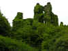 On
the return we stumbled across a ruined castle so overgrown with ivy it was
all but invisible. It was situated next to some class of a stone or gravel
quarry. The growth was so heavy, very little of the castle was visible
except the outline. As we drove away a herd of sheep caught our eye. We
pulled off the road to take a look. As we were taking pictures they began
to slowly move in our direction. They seemed to be moving with purpose.
Visions of carnivorous sheep began to dance in our heads as they continued
to approach. Possibly they thought we were going to feed them, but rather
than risk being the feed and starring in some low budget horror flick like
"Murdered by Mutton" or "Rammed by Ewe",
we beat a hasty retreat. On
the return we stumbled across a ruined castle so overgrown with ivy it was
all but invisible. It was situated next to some class of a stone or gravel
quarry. The growth was so heavy, very little of the castle was visible
except the outline. As we drove away a herd of sheep caught our eye. We
pulled off the road to take a look. As we were taking pictures they began
to slowly move in our direction. They seemed to be moving with purpose.
Visions of carnivorous sheep began to dance in our heads as they continued
to approach. Possibly they thought we were going to feed them, but rather
than risk being the feed and starring in some low budget horror flick like
"Murdered by Mutton" or "Rammed by Ewe",
we beat a hasty retreat.
As most of our day was taken up by the unexpected
trek to Killarney, we headed for home and a quiet dinner at the stable.
TOP
| BACK
|
Shannonvale, Co. Cork
|
| Friday 9/23
  Up
early this morning as we were off on an expedition to Mizen Head via a
winding route. We passed through Clonakilty on the N71 on our way towards
Skibbereen. The day was bright with clear skies and a few puffy clouds. We
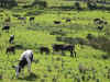
passed many cows and only had to stop to visit with a few. A
field of donkeys caused another stop, and so did a ice cream break. We ran
into a local gentleman indulging as well. "Better than a pint on a
hot day," was his opinion. Eventually we rolled onward. The sun was shining, and we had nothing but time. Up
early this morning as we were off on an expedition to Mizen Head via a
winding route. We passed through Clonakilty on the N71 on our way towards
Skibbereen. The day was bright with clear skies and a few puffy clouds. We
passed many cows and only had to stop to visit with a few. A
field of donkeys caused another stop, and so did a ice cream break. We ran
into a local gentleman indulging as well. "Better than a pint on a
hot day," was his opinion. Eventually we rolled onward. The sun was shining, and we had nothing but time.
 We didn’t really intend to go to Baltimore. It was just on the way to Mizen Head. Not directly, we did have to detour, but what a detour. This should be a primary destination, not an afterthought. My wife saw the signs and said she’d heard it was a pretty place. It wasn’t far out of the way, so off we went.
The town of Baltimore is a bit upscale and has some interesting history. The town was attacked by Algerian pirates in June of 1631. Two inhabitants were killed in the attack, and around a hundred people were captured and taken away as slaves. As the pirates had an Irish pilot from Dungarvan to guide them and
those kidnapped were English settlers, some question as to the real motive exists. There is still a strong link to the sea with a vital fishing and boat tour industry. We didn’t really intend to go to Baltimore. It was just on the way to Mizen Head. Not directly, we did have to detour, but what a detour. This should be a primary destination, not an afterthought. My wife saw the signs and said she’d heard it was a pretty place. It wasn’t far out of the way, so off we went.
The town of Baltimore is a bit upscale and has some interesting history. The town was attacked by Algerian pirates in June of 1631. Two inhabitants were killed in the attack, and around a hundred people were captured and taken away as slaves. As the pirates had an Irish pilot from Dungarvan to guide them and
those kidnapped were English settlers, some question as to the real motive exists. There is still a strong link to the sea with a vital fishing and boat tour industry.
The houses are neat and well kept, and the town is a major summer destination. The view along the top down into the harbor is very nice. O'Driscoll Castle or Dun na Sead looms over the town. We parked along the narrow road and walked to a restaurant for a pint or pot of tea respectively. (we also had to use the restroom). Public restrooms are not common but pubs are. It seemed counterproductive to go into a pub and buy a pint or tea to use the restroom. I suppose you could dash in and out, we did occasionally, but felt it a bit gauche and we’d have missed some great chats with the barkeepers. The view from the restaurant showed the harbor below with fishing boats readying for a day on the water.
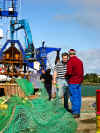 After we finished, we walked down to the quayside. It is a steep walk down with a gift shop and various shacks to charter tour boats and fishing trips. I wandered further out onto the docks and watched the fisherman prepping the nets and
cleaning the boat. They’d either been out all night or were getting ready to go out. The air smelled of oil, diesel and fish with a lot of salt air to dilute it. The seabirds circled around looking for snacks. Three large boats were idling alongside the dock while the nets were being hung out. After we finished, we walked down to the quayside. It is a steep walk down with a gift shop and various shacks to charter tour boats and fishing trips. I wandered further out onto the docks and watched the fisherman prepping the nets and
cleaning the boat. They’d either been out all night or were getting ready to go out. The air smelled of oil, diesel and fish with a lot of salt air to dilute it. The seabirds circled around looking for snacks. Three large boats were idling alongside the dock while the nets were being hung out.
The gift shop proved to be a little funky place with a variety of hand made items and art from the area. The prices were reasonable and we picked up a few small items. We didn’t stay long, but this would be a good spot to while away a week. There were several good boat tours to the islands of Sherkin and Cape Clear.
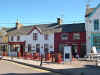
We drove up and further west to Schull. Schull is an interesting small town with winding roads,
built on a hill with many small houses and shops. We stopped there on the way back for dinner at the Black Sheep Inn. We drove through the town
slowly as the streets are narrow and crowded. We saw some interesting art
in front of a house, but on closer inspection, not so good. Onward towards Mizen Head.
  The road is winding and narrow with very little traffic in early Autumn. Vegetation is
sparse in some spots and lush in others, and the road is dotted with small farms and ruined remnants of small houses.
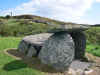
We saw a sign off the road and swung into the
car park to find a sign for a
wedge tomb and sure enough there it was. We stretched our legs a bit and
admired the scenery. Karen found a few geodes down along the shore.
The road is winding and narrow with very little traffic in early Autumn. Vegetation is
sparse in some spots and lush in others, and the road is dotted with small farms and ruined remnants of small houses.
We saw a sign off the road and swung into the
car park to find a sign for a
wedge tomb and sure enough there it was. We stretched our legs a bit and
admired the scenery. Karen found a few geodes down along the shore.
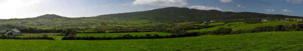
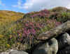  All
around the heather was in bloom and the yellow gorse flowers provided
intense contrast to the purples. The road was dotted with small cottages
and farms. Some were ruined shells with cows wandering around the walls.
In the distance of the image at the right you can see a lighthouse far
offshore. All
around the heather was in bloom and the yellow gorse flowers provided
intense contrast to the purples. The road was dotted with small cottages
and farms. Some were ruined shells with cows wandering around the walls.
In the distance of the image at the right you can see a lighthouse far
offshore.
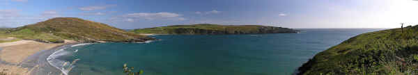
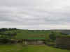
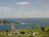
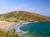   We finally came out along a high lookout over a bay. There isn’t a lot of room to pull off the road, but the view is well worth it. We took several photos including a nice panorama of the view from sandy beach to ocean.
Along the road was a picturesque stone church alongside an inlet from the
bay. Further down the road a stone tower stood watch over the water. We
stopped for lunch at a small cafe for Irish sandwiches and a cold drink.
There was an interesting gift shop attached with decent prices as we were
pretty far from anything. A pair of donkeys provided some comic relief
nearby. We were told to look, but not touch as they had a tendency to
bite. We finally came out along a high lookout over a bay. There isn’t a lot of room to pull off the road, but the view is well worth it. We took several photos including a nice panorama of the view from sandy beach to ocean.
Along the road was a picturesque stone church alongside an inlet from the
bay. Further down the road a stone tower stood watch over the water. We
stopped for lunch at a small cafe for Irish sandwiches and a cold drink.
There was an interesting gift shop attached with decent prices as we were
pretty far from anything. A pair of donkeys provided some comic relief
nearby. We were told to look, but not touch as they had a tendency to
bite.
 Traveling further along led to the end of the road and the Mizen Head Visitor Center and Signal
Station. In the
car park is a large propeller from the SS Irada that sunk off of Mizen Head in 1908 during the building of the Mizen Head bridge. The lighthouse keeper and builders help haul the survivors up the cliffs to safety. The propeller was salvaged in 1994 and installed in memory of the multiple wrecked ships in the area. The plaque explains the history. There are good views from the
car park for the less adventurous who don’t wish to walk out to the Signal Station. The view immediately to the sea from the propeller is spectacular. The waves crash into the rocks below and shoot high into the air.
Traveling further along led to the end of the road and the Mizen Head Visitor Center and Signal
Station. In the
car park is a large propeller from the SS Irada that sunk off of Mizen Head in 1908 during the building of the Mizen Head bridge. The lighthouse keeper and builders help haul the survivors up the cliffs to safety. The propeller was salvaged in 1994 and installed in memory of the multiple wrecked ships in the area. The plaque explains the history. There are good views from the
car park for the less adventurous who don’t wish to walk out to the Signal Station. The view immediately to the sea from the propeller is spectacular. The waves crash into the rocks below and shoot high into the air.
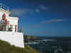
The Mizen Head Visitor Center is small but interesting to walk through. It contains the
history, wildlife information, models of the lighthouse and other information and displays related to the Signal Station. At the time there was no charge for admission. It has a small café with tea, coffee, drinks and snacks, a shop with various tourist items, and restrooms! Very important as there is little else in the area other than nature. You can purchase tickets to the Signal Station at the Visitor Center. The tickets are 6 Euro for adults and 18 Euro for a family. Make sure to look at the brochure to get a feel for the trek out to the Signal Station. It is not appropriate for small children or people who don’t like some walking and climbing. It is also not a good place for people who don’t like heights.
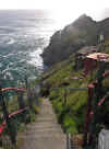
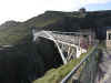 A ticket permits you to walk down the walkway to the Signal Station. It is a good distance away and a good ways down. You can see the bridge crossing over a deep chasm between the rock outcropping. First though you must navigate a series of stairs (99 to be exact though it feels like a lot more). They claim this is a 10 minute walk and it probably is for a spry person going down. I’d be willing to bet it is twice that coming back up. Watch your step as the stairs are narrow and you’ll be looking at the view instead of where your stepping. The stair could be wet in some conditions and the wind varies, but can be quite strong. Take time along the way to stop and view the cliffs and ocean. The ocean pounds into the rocks below creating spectacular jets of spray. If you’re lucky, sail boat may be offshore creating a picturesque scene against the sky and water. There are also dolphins, whales and basking sharks occasionally visible in the water below. Depending on the weather conditions, you’d probably have to have a pretty sharp eye to spot them. A variety of seabirds circle above, be careful when looking up.
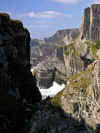 Approaching the bridge you can see open ocean to the right, a deep drop into churning water below and rock walls narrowing to a rock wall to the right. The view to the right between the rocks let you view down the coastline to cliffs, pounding waves, white spray and green hillsides. If you don’t like heights, don’t look down as you cross the bridge. The metal grate is open and you can see water and rocks far below. The best view is to the right and it changes as you walk along the bridge. It is worth walking slowly and viewing the changing vista. It may be difficult to take pictures as the wind is quite fierce and the bridge can vibrate. I had difficulty in getting high enough shutter speeds to make up for the movement.
After crossing the bridge, the path curves up and around to the Signal Station. The wind picks up considerably and anything that isn’t firmly attached is going airborne! There was a retired gentleman there to check my ticket. I can’t conceive of anyone getting out here any other way, but there you have it. I’d like the job when I retire. The walk would keep you fit! He also provided answers to questions and a wealth of knowledge of the area.
The first building is the Signal House. It contains signal flags, their history and usage and a repeating video. Most of the radio equipment and other instruments are intact and labeled with their function.
In the next building there is a recreation of the keeper’s bedroom and kitchen. There is a passageway that simulates being underwater with scenes, wrecks and critters. It is a bit cheesy, but well intended. The actual main room of the lighthouse had interesting displays of bird eggs, maps and other relics.
Now the real adventure! Walking back out and alongside the building takes you out to a narrow walkway. One the right is railing and beyond a sheer drop down into frothing surf as it crashes along a narrow channel back into the rock. The water looks like whipped cream and is constantly white and foamy. Out here the wind is intense and the spray is heavy in the air. The entire area is surrounded by railing and a narrow walkway goes out to a small viewpoint.
  Only one or two people can be out here at one time and they’d better be close friends! If you’re going to be taking pictures you’ll need a cloth to keep the lens clear of spray. The sun was intense and cast a lot of light off the water. The water below is mostly white foam with large green waves surging in to dash against the rocks. Depending on how crowded it is, you can spend a few minutes or a half hour here before the wind batters you into submission.
Brace yourself for the trek back. The walk isn’t bad until you cross the bridge and come to the infamous 99 steps. These seem to multiply on the way up into 199 steps. If you’re out of shape, the
spectacular view gives you an excuse to stop often. After the steps the trail switches back and forth still rising until you reach the Visitor Center.
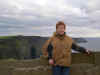
My wife had elected to stay with her mom at the Visitor Center, partially out of concern for her and partially out of concern about the height of the bridge. I tried to tell her what she’d missed, but it was difficult to convey the scope of the wildness of the view and surrounds to someone who hasn’t been there. The pictures just scratch the surface of the intense elements and power of the sea.
This is a must see for the adventurous traveler in the area. I’d recommend driving from Cork for the opportunity!
More information is available at http://www.mizenhead.ie/
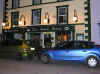 We wandered into Schull later in the evening. We were tired, battered by wind and spray, and looking for some food and drink. We spotted the Black Sheep Bar in the town center. How could you not try a place with a name like
that. We entered somewhat bedraggled from the elements, but felt right at home. The interior is more a pub than restaurant. The inside is warm and comfortable, with a variety of tables and booths. It was fairly crowded as we entered, but we secured a table in the upper section against the wall. One side had chair seating and the other a padded bench running the length of the wall, shared by other tables. We got situated, grabbed menus, and ordered the usual pints for my wife and I and a whisky for mom. The menu was the usually pub fair with some interesting additions. Chicken pot pie looked good as did the fish and chips. We wandered into Schull later in the evening. We were tired, battered by wind and spray, and looking for some food and drink. We spotted the Black Sheep Bar in the town center. How could you not try a place with a name like
that. We entered somewhat bedraggled from the elements, but felt right at home. The interior is more a pub than restaurant. The inside is warm and comfortable, with a variety of tables and booths. It was fairly crowded as we entered, but we secured a table in the upper section against the wall. One side had chair seating and the other a padded bench running the length of the wall, shared by other tables. We got situated, grabbed menus, and ordered the usual pints for my wife and I and a whisky for mom. The menu was the usually pub fair with some interesting additions. Chicken pot pie looked good as did the fish and chips.
They looked less greasy, with less batter than the usual gloppy mess one sees in pubs. The food proved good with substantial quantity. The pints were good, and we ordered another round while we relaxed. Subsequent conversation was struck up with the adjoining table. It turned out our neighbor was a real neighbor. He was a local that had moved to the Seattle, WA area, and was down on a fishing trip to the area. We chatted about the Pacific NW, Schull, and his landscaping business. He was killing time before meeting his wife and son for dinner. You never know who you’ll run into in an Irish pub. Make it a point to chat with your neighbors!
The Black Sheep Bar is well recommended if you’re in Schull. Evidently there are good higher end restaurants in town as well, but if you want solid, fairly priced food and a good
We arrived back in Shannonvale well after dark. A
little windblown, sunburned and ready for bed regardless of mattress
quality.
TOP
| BACK
|
Shannonvale, Co. Cork to Ballyferriter, Co.
Kerry
|
| Saturday 9/24
 Leaving
Co. Cork we made our way up to Co. Kerry. We passed through Killarney
without stopping (as usual) and detoured a bit around to miss the ever
present traffic and mass of tourists and buses. Finally we made it to Dingle and after a short break for
bio purposes and a brief bit off grocery shopping, we were off for Slea
Head and Ballyferriter. The weather was overcast and stormy, but the view
from the viewpoint near Dunquin was spectacular. Leaving
Co. Cork we made our way up to Co. Kerry. We passed through Killarney
without stopping (as usual) and detoured a bit around to miss the ever
present traffic and mass of tourists and buses. Finally we made it to Dingle and after a short break for
bio purposes and a brief bit off grocery shopping, we were off for Slea
Head and Ballyferriter. The weather was overcast and stormy, but the view
from the viewpoint near Dunquin was spectacular.
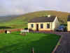 We went up to Suantra Cottages in Ballyferriter on the Dingle
Peninsula.
These small, sturdy cottages are the perfect
haven on the Dingle peninsula. The wind and rain can really pound out in
this area of the peninsula as there is little to break the wind except the
next cottage over. The walls are of concrete block and the windows are
strong and keep out the wind. There are three good size bedrooms with
comfortable beds. Each room has closet and dressers and plenty of room to
spread out.
The bathroom has a good sized
shower/bath and is quite large for an Irish bathroom. There is a back door
out to a small backyard area with a clothes line and laundry shed. In the
laundry shed a small and well aged washer and dryer struggle to keep up
the demands on their meager resources. These are coin operated and should
only be used as a last resort to the laundry in Dingle. We went up to Suantra Cottages in Ballyferriter on the Dingle
Peninsula.
These small, sturdy cottages are the perfect
haven on the Dingle peninsula. The wind and rain can really pound out in
this area of the peninsula as there is little to break the wind except the
next cottage over. The walls are of concrete block and the windows are
strong and keep out the wind. There are three good size bedrooms with
comfortable beds. Each room has closet and dressers and plenty of room to
spread out.
The bathroom has a good sized
shower/bath and is quite large for an Irish bathroom. There is a back door
out to a small backyard area with a clothes line and laundry shed. In the
laundry shed a small and well aged washer and dryer struggle to keep up
the demands on their meager resources. These are coin operated and should
only be used as a last resort to the laundry in Dingle.
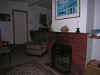 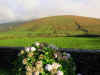 There is a good sized kitchen
area with dishes, pots, pans and all classes of knives and utensils. A
small refrigerator performs admirably in keeping your foodstuffs cold.
There is a kitchen table that holds six comfortably and is also perfect
for planning your next excursion into the great outdoors. A bookshelf
holds a selection of garage sale bestsellers and magazines to read in
front of the fire. The living room has two couches and a couple large,
comfortable chairs for lounging with a hot whisky before the peat fire.
Peat can be purchased in any store in town, but will probably be provided
in a large basket next to the fireplace. There is a small TV, but the
reception is poor although the local stations can be interesting to watch.
We loved the Irish language soap operas. There is a good sized kitchen
area with dishes, pots, pans and all classes of knives and utensils. A
small refrigerator performs admirably in keeping your foodstuffs cold.
There is a kitchen table that holds six comfortably and is also perfect
for planning your next excursion into the great outdoors. A bookshelf
holds a selection of garage sale bestsellers and magazines to read in
front of the fire. The living room has two couches and a couple large,
comfortable chairs for lounging with a hot whisky before the peat fire.
Peat can be purchased in any store in town, but will probably be provided
in a large basket next to the fireplace. There is a small TV, but the
reception is poor although the local stations can be interesting to watch.
We loved the Irish language soap operas.
In the front is a graveled
car
park, you can pull up right next to the door for quick unloading during
storms. A optimistic picnic table or two is out front in the grassy area.
We did use it one night when we returned from the pub to look at the
stars. The sky was perfectly clear and midnight blue and covered with
bright stars. There is no way to describe it unless you’ve been in a
place with no artificial light around and no pollution.
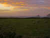 The view out to Clougher Head
and across the bay to Ballydavid is beautiful no matter the weather. We
were often treated to rainbows over the waves.
The cottages are a short distance from
Ballyferriter and several good pubs. If you want groceries, the Black Cat
Shop down the road has a small selection. For more items take a 20 minute
drive into Dingle. The view out to Clougher Head
and across the bay to Ballydavid is beautiful no matter the weather. We
were often treated to rainbows over the waves.
The cottages are a short distance from
Ballyferriter and several good pubs. If you want groceries, the Black Cat
Shop down the road has a small selection. For more items take a 20 minute
drive into Dingle.
The area is strewn with walking
trails, ruins and sites of interest. Directly
out from the cottage and slightly to the left is a road that leads to the
shore, my wife found a number of fossils in the rocks. Find a good map and
use the cottage as a central point to make day trips.
TOP
| BACK
|
Ballyferriter, Co. Kerry
|
| Sunday 9/25
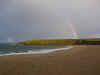 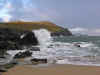 Karen
and I arose early and went for a walk to stretch the legs after a day of
driving. The weather was still soft and we were showered lightly as we
walked along the road towards Clougher Strand. A small
car park littered
with broken bottles and other detritus looked discouraging, but we tromped
on. Once past the
car park, the sand sloped down to the water. The sand
was clean and bright after a night of rain and high tides. As we walked
onto the beach, the sun broke through and a rainbow appeared to the
North. Karen
and I arose early and went for a walk to stretch the legs after a day of
driving. The weather was still soft and we were showered lightly as we
walked along the road towards Clougher Strand. A small
car park littered
with broken bottles and other detritus looked discouraging, but we tromped
on. Once past the
car park, the sand sloped down to the water. The sand
was clean and bright after a night of rain and high tides. As we walked
onto the beach, the sun broke through and a rainbow appeared to the
North.
 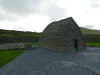 Shirley
wanted to attend Mass so we dropped her off at the church in Ballyferriter
and then took a quick turn around the area before returning to pick her
up. We made a brief trip by the Gallarus Oratory on the back side to scout
out parking for a return trip. We drove out towards Ballydavid and found a
pier with an interesting sign. Shirley
wanted to attend Mass so we dropped her off at the church in Ballyferriter
and then took a quick turn around the area before returning to pick her
up. We made a brief trip by the Gallarus Oratory on the back side to scout
out parking for a return trip. We drove out towards Ballydavid and found a
pier with an interesting sign.
A little further up the road we came across
a Golden Retriever who had to get acquainted.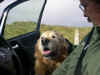 After a bit of petting, we had to tell him goodbye although it appeared he
would have been happy to accompany us on our travels.
After a bit of petting, we had to tell him goodbye although it appeared he
would have been happy to accompany us on our travels.
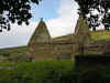 After picking up Shirley we returned to the
cottage so she could change into tromping attire. Suitably clothed, we
piled into the
car and headed out for Kilmalkedar Monastic site. The
weather continued to improve with high white clouds and blue sky. After picking up Shirley we returned to the
cottage so she could change into tromping attire. Suitably clothed, we
piled into the
car and headed out for Kilmalkedar Monastic site. The
weather continued to improve with high white clouds and blue sky. 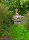 Kilmalkedar
boasts a nice ruined church with fine carved details. Numerous fine
headstones dot the yard and several
fine stones including the alphabet stone, an ogham stone and a sundial
stone along with an ancient stone cross can be found. Kilmalkedar
boasts a nice ruined church with fine carved details. Numerous fine
headstones dot the yard and several
fine stones including the alphabet stone, an ogham stone and a sundial
stone along with an ancient stone cross can be found.
 It all started with the
All-Ireland Gaelic football match which we watched on a Sunday at the
hotel bar in Ballyferriter. We’d stopped in earlier in the day for a
quick pint and chatted with the Polish bartender. We thought that
experiencing Gaelic football in a Gaelic speaking area would be a fun
experience, and it was. It all started with the
All-Ireland Gaelic football match which we watched on a Sunday at the
hotel bar in Ballyferriter. We’d stopped in earlier in the day for a
quick pint and chatted with the Polish bartender. We thought that
experiencing Gaelic football in a Gaelic speaking area would be a fun
experience, and it was.
We arrived early to secure a
good seat and found one just to the right of the large screen television,
but back far enough to see well. We ordered pints and throughout the match
a few more pints and lunch. I opted for a beef and kidney pie while the
ladies settled for more standard fare. The pie was large, tasted delicious
and even had a decorative chunk of black pudding on top for decoration. As
the match progressed, my insides began to express disquiet. The disquiet
was compounded by Kerry losing to Tyrone, but it was a great match and
very entertaining to watch the crowd as well as the game.
I skipped dinner that evening
as the internal distress continued. It reached a climax in the early hours
of the morning with a total systems purge in the early hours. In the morning it was obvious
that I had food poisoning. It was all I could do to stand up for frequent
trips to the bathroom. I can’t say for sure, but I blame it on the
black pudding atop the pie.
Note for the record, this didn't prevent me
from eating black pudding for the duration of the trip.
TOP
| BACK
|
Ballyferriter, Co.
Kerry
|
| Monday 9/26
The ladies took off and left me
to sleep and visit the bathroom at alternating intervals. By mid afternoon
I felt better, and by late afternoon I needed to walk around in the fresh
air. The weather had cleared and the sun was shining through the clouds.
Perfect for taking pictures! I gathered my camera equipment and put on
outdoor clothing and boots. Imagine my distress when I tried the front
door and realized I’d been locked in. Not only abandoned by the ladies,
but locked in to boot. The door lock was unable to be opened from the
inside. Not exactly good in case of fire, but it being a concrete block
building and usually raining, that probably wasn’t a concern. The back
door was sealed with tape to keep out the wind and appeared to be nailed
shut as well. I set about examining the windows and found that the back
bedroom window had no screen and was large enough to permit me to escape.
I wrote a note explaining my situation. I think it read something like
“Gone out for a walk, please don’t lock me in next time”. I had to
drop the camera bag out the window first and then squeeze through the
narrow opening and fall/hop out onto the grass. I shut the window behind
me and ventured out into the wind and sun.
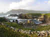  I had in mind to visit a spot
that we’d gone to last year. Just down the road a few yards from the
Suantra Cottages was a dirt road leading North towards the bay. It was a
fairly easy walk, and wasn’t overly taxing on my delicate constitution.
The road passed between fields and jogged to the right sharply and ended
in a large stone fenced area. The water was clearly visible and the sound
of the waves crashing on the rocks was very loud. Seabirds wheeled
overhead adding their voices to the sea and wind. I walked out carefully
as I remembered large sink holes from the prior excursion. Abruptly the large hole appeared underfoot about four feet in diameter. It dropped down
about 30 feet into water below. Evidently the sea had eroded the rock and
penetrated about 50 feet inland. If one had gone down the hole, there
would be little chance of surviving the fall let alone the watery end
awaiting. I tried not to think about other holes, yet unopened but waiting
as I walked out towards the edge. The ground dropped away abruptly below
to a rocky beach with larger rocks offshore. Sybil Head was visible in the
distance ahead, and to the right Clougher Head enclosed the bay. The waves
crashed in hard on the rocks, shooting high into the air. The sun sank
lower and shone between clouds, creating a red and gold light. I wandered
along the shoreline taking pictures of the waves, rock and cliffs. I had in mind to visit a spot
that we’d gone to last year. Just down the road a few yards from the
Suantra Cottages was a dirt road leading North towards the bay. It was a
fairly easy walk, and wasn’t overly taxing on my delicate constitution.
The road passed between fields and jogged to the right sharply and ended
in a large stone fenced area. The water was clearly visible and the sound
of the waves crashing on the rocks was very loud. Seabirds wheeled
overhead adding their voices to the sea and wind. I walked out carefully
as I remembered large sink holes from the prior excursion. Abruptly the large hole appeared underfoot about four feet in diameter. It dropped down
about 30 feet into water below. Evidently the sea had eroded the rock and
penetrated about 50 feet inland. If one had gone down the hole, there
would be little chance of surviving the fall let alone the watery end
awaiting. I tried not to think about other holes, yet unopened but waiting
as I walked out towards the edge. The ground dropped away abruptly below
to a rocky beach with larger rocks offshore. Sybil Head was visible in the
distance ahead, and to the right Clougher Head enclosed the bay. The waves
crashed in hard on the rocks, shooting high into the air. The sun sank
lower and shone between clouds, creating a red and gold light. I wandered
along the shoreline taking pictures of the waves, rock and cliffs.
 Eventually my wife wandered
down figuring that’s where I had gone. She wandered further West and
down onto a rocky beach. She started digging amongst the soft rock and
found several fossils of shells and sea plants. Further excavations
revealed more and she began filling her pockets with interesting bits of
rock, shells and wood. In an earlier excursion on the
Beara
Peninsula
she had found several geodes along the rocky shoreline. I tried to find
something interesting, but she seemed to have the knack, so I returned to
the camera. We continued our excavations and picture taking until the sun
sank to low to see well. We trekked back to the road and walked back to
the cottages. Eventually my wife wandered
down figuring that’s where I had gone. She wandered further West and
down onto a rocky beach. She started digging amongst the soft rock and
found several fossils of shells and sea plants. Further excavations
revealed more and she began filling her pockets with interesting bits of
rock, shells and wood. In an earlier excursion on the
Beara
Peninsula
she had found several geodes along the rocky shoreline. I tried to find
something interesting, but she seemed to have the knack, so I returned to
the camera. We continued our excavations and picture taking until the sun
sank to low to see well. We trekked back to the road and walked back to
the cottages.
Examination of the bits
collected by my wife and the photos proved it a successful venture and one
to be repeated next time we return to the Suantra Cottages.
TOP
| BACK
|
Ballyferriter, Co.
Kerry
|
| Tuesday 9/27
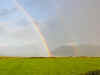 We
awoke to rainbows and sunshine, but the promise of more rain not far off.
The double rainbow directly in front of the cottage remained for over a
half an hour. We decided to go into Dingle for some shopping and groceries
and then just hang out in the area and be flexible with the weather
conditions. A leisurely breakfast with muesli and yogurt for Karen and
Shirley with eggs and puddings for me. Sausages for all of course. We
awoke to rainbows and sunshine, but the promise of more rain not far off.
The double rainbow directly in front of the cottage remained for over a
half an hour. We decided to go into Dingle for some shopping and groceries
and then just hang out in the area and be flexible with the weather
conditions. A leisurely breakfast with muesli and yogurt for Karen and
Shirley with eggs and puddings for me. Sausages for all of course.
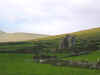 We
took the back route into Dingle instead of the longer route around Slea
Head and through Dunquin. This took us by Rahinnane Castle sitting in the
middle of a field. We'd visited the castle in 2004 and it was a long tromp
across a wet field, a a few Euro as well. It wasn't on the agenda for the
day, but it gave me a good opportunity to try out the 10x telephoto on the
Nikon
8800. One of the few times I used it on the trip. I made far more use
of its counterpart the Nikon
8400 for wide angle and landscape photos. About 95% by my
calculations. I've since upgraded to the Nikon
D80, but kept the Nikon
8400 as a pocket camera and sold the 8800. I've purchased a Nikkor
18-200 VR lens that give a good range of telephoto to wide angle and
am looking forward to getting a Sigma
10-20mm f/4.0-5.6 wide angle as well. I find that most of the Irish scenery
I like to photograph is best served by wide angle views. Enough about that
until 2007. The sky was a bit washed out for good photographs so I packed
it in and we headed for Dingle. We
took the back route into Dingle instead of the longer route around Slea
Head and through Dunquin. This took us by Rahinnane Castle sitting in the
middle of a field. We'd visited the castle in 2004 and it was a long tromp
across a wet field, a a few Euro as well. It wasn't on the agenda for the
day, but it gave me a good opportunity to try out the 10x telephoto on the
Nikon
8800. One of the few times I used it on the trip. I made far more use
of its counterpart the Nikon
8400 for wide angle and landscape photos. About 95% by my
calculations. I've since upgraded to the Nikon
D80, but kept the Nikon
8400 as a pocket camera and sold the 8800. I've purchased a Nikkor
18-200 VR lens that give a good range of telephoto to wide angle and
am looking forward to getting a Sigma
10-20mm f/4.0-5.6 wide angle as well. I find that most of the Irish scenery
I like to photograph is best served by wide angle views. Enough about that
until 2007. The sky was a bit washed out for good photographs so I packed
it in and we headed for Dingle.
In Dingle we did a quick bit of shopping and
enjoyed wandering through the market looking at unfamiliar and familiar
labels and products. Sometimes the characters in the store are equally
interesting.
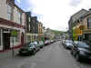

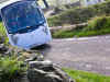 Leaving
Dingle we again took the fast route as Shirley was tired. We dropped her
off at the cottage for a rest and grabbed some extra layers of clothing
and took off for Dunquin. Karen had a favorite picture we'd seen in
magazines and on the wall in the cottage that we wanted to duplicate. The
weather was good and the sun shining. We knew precisely where to go, but
not the exact angle for the best shot. We had to park above the spot in
Dunquin and then walk back down the narrow road and stand on the edge of
the road to position ourselves. Of course this involved dodging the
occasional tour bus, but they and we took it as a challenge and managed to
coexist. Below is the picture we we took and next to it a photo of the
picture on the wall of the cottage. Exact duplication wasn't possible with
time and environmental changes, but we did well we thought. We'll keep
trying next time too. Leaving
Dingle we again took the fast route as Shirley was tired. We dropped her
off at the cottage for a rest and grabbed some extra layers of clothing
and took off for Dunquin. Karen had a favorite picture we'd seen in
magazines and on the wall in the cottage that we wanted to duplicate. The
weather was good and the sun shining. We knew precisely where to go, but
not the exact angle for the best shot. We had to park above the spot in
Dunquin and then walk back down the narrow road and stand on the edge of
the road to position ourselves. Of course this involved dodging the
occasional tour bus, but they and we took it as a challenge and managed to
coexist. Below is the picture we we took and next to it a photo of the
picture on the wall of the cottage. Exact duplication wasn't possible with
time and environmental changes, but we did well we thought. We'll keep
trying next time too.

Since we were there, we decided to
walk down the hill towards the water and explore the surrounding walls and
structures. Some of the stone pilings look suspiciously like tombs or
graves, but it is hard to tell amongst the tall grass and wind. After more
wandering and climbing we returned to the
car and drove further up the
road to the old path down to the Dunquin Pier. Only part of the route
remained and was so overgrown with grass, walking was difficult. We also
visited the graveyard above and saw Peig Sayers grave as well as her son
and other people from the Blaskets. There is a small book area with all the books written by
the Blasket Island writers. Make sure you pick up at least
one to read while you are in the area, or get one here. We recommend
Islandman, Peig and Twenty Years A-Growing as a good start.
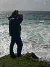


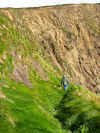
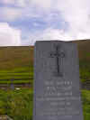
It was a bit past lunchtime and a
bit of food was in order. We visited the nearby cafe for a bit of seafood
soup and to view a lobster plate that Karen had seen on the wall in a
prior visit. The seafood soup was good and probably tasted better because
of the salt air and view. We polished it off quickly along with the
muffins served alongside. While Karen chatted with the proprietor, I took
a few photos of the lobster plate and looked at the Blasket books and
memorabilia on the walls. The place is worth a visit for the decor alone.

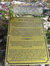 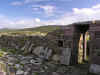 We
drove around the long way back to the cottages which involved some narrow
roads that were more cowpath than road. The
car survived the ruts and
bumps, and we didn't scare any cows to death. Along the way we found Dún
Urlann, a parish church from somewhere in the 13th to 15th century. It had
been excavated and many of the roofing stones and partial walls remained
as well as two nicely carved doorways. There were also early versions of
rain gutters, something I would imagine to be very helpful in this area.
The sun was sinking lower in the sky and the light was perfect for
photographing the ruins. We
drove around the long way back to the cottages which involved some narrow
roads that were more cowpath than road. The
car survived the ruts and
bumps, and we didn't scare any cows to death. Along the way we found Dún
Urlann, a parish church from somewhere in the 13th to 15th century. It had
been excavated and many of the roofing stones and partial walls remained
as well as two nicely carved doorways. There were also early versions of
rain gutters, something I would imagine to be very helpful in this area.
The sun was sinking lower in the sky and the light was perfect for
photographing the ruins.
I dropped Karen back at the cottage
to check on Shirley and begin dinner while I took a quick run back to
Clougher Head in case the sunset materialized into something special. It
never really did, but I took a picture of a crow supervising my efforts
and a nice picture of Ballyferriter with lights coming on in the houses as
the sun set.
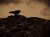
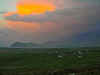
A fine dinner of pork chops and
potatoes was waiting and an evening of cribbage, a turf fire and reading
wrapped up the day.
TOP
| BACK
|
Ballyferriter, Co.
Kerry
|
| Wednesday 9/28
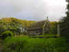 Raheenyhooig Burial Ground lies
on the other side of Dingle bay from Dingle town. The old graveyard at
Raheenyhooig serves the detached portion of the parish on the
Burnham
Peninsula
. This is most notable for containing the family vault of the Mullins
family, Barons Ventry. It is on the same road as Holden Leathergoods and
the Eask tower. The best way to get there (probably the only way) is to
leave Dingle traveling North to Ventry/Slea Head. Coming out of town there
is a roundabout, take the first left going across the bridge. Immediately
after the bridge go straight and follow the signs towards Ventry along the
Slea Head road. Keep an eye out for signs on the left for the leather shop
and Colaiste Ide (an all girls Irish school). Raheenyhooig Burial Ground lies
on the other side of Dingle bay from Dingle town. The old graveyard at
Raheenyhooig serves the detached portion of the parish on the
Burnham
Peninsula
. This is most notable for containing the family vault of the Mullins
family, Barons Ventry. It is on the same road as Holden Leathergoods and
the Eask tower. The best way to get there (probably the only way) is to
leave Dingle traveling North to Ventry/Slea Head. Coming out of town there
is a roundabout, take the first left going across the bridge. Immediately
after the bridge go straight and follow the signs towards Ventry along the
Slea Head road. Keep an eye out for signs on the left for the leather shop
and Colaiste Ide (an all girls Irish school).  Turn left on the road and
travel along about a mile watching for the entrance (shown in images) on
the right/West side of the road. The other side of the road is a home and
driveway as I recall, try not to block road traffic or the driveway when
you park. Turn left on the road and
travel along about a mile watching for the entrance (shown in images) on
the right/West side of the road. The other side of the road is a home and
driveway as I recall, try not to block road traffic or the driveway when
you park.
The entrance to the grounds is
over the steps to the right of the gate. The gate was locked when we were
there, so the less spry might have a difficult time with the stairs up and
over the wall. Once inside the grounds are fairly accessible. The large
crypts or vaults are to the left of the gate and a roadway takes you
around and up to that area. The view from just below is nice as shown in
one of the images. The rest of the burial ground is fairly standard with a
few interesting graves in amongst the trees in the central area. The
grounds are fairly well kept, but the grass is long in some areas and can
make walking difficult. There are some nice crosses and sculptured
headstones, especially the angel with 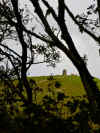 the orange lichen on it. Watch where
you are walking as many of the graves are placed closely together. Try to avoid walking over the graves if at all possible. the orange lichen on it. Watch where
you are walking as many of the graves are placed closely together. Try to avoid walking over the graves if at all possible.
The view from the more central
southern portion affords a good view of Dingle bay and the hills and town
on the other side. We found late afternoon an hour or so before sunset an
ideal time to visit as the light was very dramatic. Eask Tower is visible to the South through the trees. By standing along the West side
of the burial ground, you can see the tower quite well.
TOP
| BACK
|
Ballyferriter, Co.
Kerry
|
| Thursday 9/29
We woke up and said, hey, let's go around the Ring of Kerry.
OK we discussed it the evening before. The morning looked good so we
thought we'd risk it. The weather held for a good portion of the morning
and then deteriorated into a downpour by afternoon. Doggedly we
persevered. Not that there was much other option when you're half way
around the Ring except to keep going.
The drive from the cottage in Ballyferriter was
uneventful. Inch Strand was windy and cloudy, but a nice view down the
beach none the less. We knew we were getting somewhere when we hit
Killorglin. We
didn't stop, but did wave at the Puck Statue as we passed. Our first stop,
mostly for bio purposes was the Red Fox Inn and the Kerry Bog Village. The
best Irish coffee in Ireland is a big boast, and one that is tempting to
take up. Just not a 9 AM. The Red Fox Inn lies alongside the doubtfully
authentic Kerry Bog Village and has ample parking in front for several
tour buses. We stopped both for the sign, and because we needed to use
some more personal facilities. Where there is alcohol, there is sure to be
a restroom, I always say.
We parked in front, took a quick look at the Bog Village and made for the
restrooms. We passed a couple of large tables setup with glasses and
pitchers of something or other. After a short but relieving break, we
returned to the main area. The wife and mother-in-law went in search of a
cuppa tay while I examined the aforementioned tables.
It appeared to be all the makings of Irish coffee. There were pitchers of
steaming coffee, bottles of Ireland’s finest and pitchers of cream. What I
did fail to notice was any method of preservation for the dairy product.
It sat, white, frothy, and happy, in clear plastic pitchers. Now, I don’t
know about you, but I prefer my dairy product cold and untainted by
bacteria. It would seem that storing it next to hot coffee could have bad
consequences, especially later in the day. All this being what it was, I
took a pass on the best Irish coffee in Ireland and headed for the gift
shop.
The gift shop was a step above the usual Irish gewgaws. There were the
usual tin whistles, shamrocks, stuffed sheep, and other nonsense. They did
have a good book section with both cookbooks and books unique to the area.
Nothing I couldn’t live without, though, so I went in search of the
ladies, and after the tea was finished and another trip to the restrooms,
we left without sampling the best Irish coffee in Ireland.Two
things about the Kerry Bog Village: it seems to be under-populated with
tourists and overpopulated with turf and bog ponies. Mind you, there is
nothing wrong with either turf or bog ponies. One smells great and keeps
you warm, and the other doesn't smell great. Bog ponies used to be common,
but are now are rarity in Ireland. They are small, about the size of a
Shetland pony, but a unique breed. These folks are doing a good thing by
bringing them back.
Now, back to the Bog Village. We didn’t actually go in, as it didn’t
appear to be open for business. There was no one at the ticket booth, and
most of the entrance seemed to be blocked by a largish pile of turf. Not
that turf is an effective barrier. If it had, Ireland would be a much
different place these days. The village appears to consist of several
cottages, a blacksmith forge, and some other outbuildings. There appeared
to be some painting going on as well, something that is doubtful more bog
villagers could afford. We all piled back in the
car after stashing items
from the gift shop in the back and off we went to Cahersiveen.
Cahersiveen lies at the foot of Beentee mountain, on the river Fertha
overlooking Valentia Harbor. It would form a good base for an extended
stay on the Ring of Kerry.
Irish patriot Daniel O' Connnell was born in Cahersiveen. The only church
in town is named after him, the only Irish church dedicated to a
layperson. The heritage center is an out of commission Royal Irish
Constabulary barracks and wasn’t open when we visited.
Traditional fair days or market days are still held on the town square and
streets. As you come into town, there is a small area that has a number of
booths, and depending on what time of the year and day it is will depend
on how well populated it might be. We found some interesting crafts,
including handmade paper and candles. We made several purchases from the
homemade jam and marmalade booth after sampling several types. We also
purchased some excellent cheese made on the ring from one of the vendors.
There were clothing vendors with wool clothing and sweaters that looked
homemade versus the usual tourist stuff. The town is small and parking is
dear; watch where you park and be sure to purchase a parking disc from
nearby shops.
Outside Cahersiveen, down by the church and across a stone bride, lies
Ballycarbery Castle and two large dry Stone forts Leacanabuaile and
Cahergal which date to 800 AD. Ballycarbery Castle is easy to see just to
the NW of the bridge. The stone forts lie to the NE, one being easy to
find and the other lie just a short distance beyond.
Cahersiveen also has a large yachting marina and harbor. The marina has 93
berths. Cahersiveen has a reputation for some of the best deep-sea fishing
in Europe. The town is a popular spot for traditional music sessions in
any one of the local pubs. Traditional set dancing is also popular. The
Cahersiveen Celtic Music Festival is held on the August Bank Holiday
weekend each year.
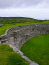 You
can see Cahergal or Cathair Geal (white or bright fort) from just about
anywhere in the area. It's high—10-foot thick walls are hard to miss. You
can reach it by leaving Cahersiveen across the stone bridge by the church
and heading NE along the road. You should see it easily ahead of you.
There is a small
car park and a poorly signed lane leading up to the fort.
The first part of the walk is fairly easy, although rocky. Later it begins
to climb sharply up to the top of the hill the fort sits on. The fort is
surrounded by pastureland, and you have to pass through a gate to enter
the lane to the fort. You
can see Cahergal or Cathair Geal (white or bright fort) from just about
anywhere in the area. It's high—10-foot thick walls are hard to miss. You
can reach it by leaving Cahersiveen across the stone bridge by the church
and heading NE along the road. You should see it easily ahead of you.
There is a small
car park and a poorly signed lane leading up to the fort.
The first part of the walk is fairly easy, although rocky. Later it begins
to climb sharply up to the top of the hill the fort sits on. The fort is
surrounded by pastureland, and you have to pass through a gate to enter
the lane to the fort.
The fort itself is impressive. The curved wall is all of dry stone
construction and is very rounded and smooth. A small entrance on the west
side provides entrance. Try not to think about all those tons of stone
above you as you stoop and walk through the wall to the interior. Inside
there are terraced walkways up the walls to the top. There are the remains
of single stone structure with rock steps jutting from the sides. The fort
dates to between the 9th and 11th centuries. There are incredible view of
the countryside around from the top of the wall. You
can see all sorts of things from Ballycarberry Castle to cows at play (see
middle photo). You can see Cahersiveen and Velentia harbor clearly
as well.
Prominently sited on top of a massive rock, 1,200 feet from Cahergal,
Leacanabuaile Stone fort has a reconstructed dry-stone wall 10 feet thick
but only 5 feet high. There were three beehive huts inside, but only one
survives, with a square house built against it and on top of the ruins to
two other houses. The round house abuts the wall of the fort, and from its
doorway a hole in the floor leads into a souterrain. We were not able to
visit this fort, but I understand it is well worth the trip.
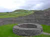
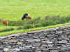
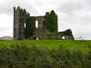 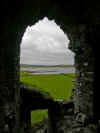 Ballycarberry
Castle was the next stop. If you find the fort, you can see the castle and
just head in that direction. It is fenced off, but we didn't let that stop
us. The castle is in pretty poor shape, so be careful when walking around
or climbing as rocks could give way. Fortunately it held together for us
and we spent a pleasant hour getting reacquainted. The ivy was growing as
thickly on the walls and no major parts seemed to be missing. Ballycarberry
Castle was the next stop. If you find the fort, you can see the castle and
just head in that direction. It is fenced off, but we didn't let that stop
us. The castle is in pretty poor shape, so be careful when walking around
or climbing as rocks could give way. Fortunately it held together for us
and we spent a pleasant hour getting reacquainted. The ivy was growing as
thickly on the walls and no major parts seemed to be missing.
There isn’t much left of this 15th rectangular tower house castle but the
walls, but you can climb around on and in it if you’re brave. Once you’ve
hopped the barbed wire fence, ignore the warning signs and walked through
the cow and sheep poo! It is well worth at least viewing from the
car park
area. Once you’re there, you probably won’t be able to resist a closer
look. We couldn’t the two times we visited, even in the rain. Much of the
castle is covered in ivy, and there is a wonderful ivy covered wall on the
north side. The castle overlooks Valentia Harbor and sits on top of a
small hill, with a wonderful view of the surrounding countryside and
Cahergal stone fort. A small river flows alongside the castle down to the
harbor. There are several stairways inside that lead up to small rooms and
passageways. We didn’t feel that the ruins were unstable or particularly
dangerous, but we may just be naive, your mileage may vary. Personally, I
think the whole thing is held together by the ivy. That being said, there
are some great views for the brave from the upper areas of the castle, in
particular, from the SW part overlooking Cahersiveen and Velentia harbor.
The property was originally the seat of the MacCarthy Mor family, but
passed to the O'Connells in 1350, who were wardens for the MacCarthy Mors.
The story goes that the MacCarthys sent a messenger with a cradle to the
O'Connells, as indicating that they should offer to foster a MacCarthy Mor
child. The O'Connells responded by sending the cradle back with the head
of the messenger inside. Evidently, the MacCarthy children had a
reputation as little hellions?! Cromwell’s General Ludlow destroyed the
castle in 1652 with cannons, as is true of most things in Ireland.
Cromwell must have been a really unhappy character...perhaps he wore wool
knickers? We couldn’t find any cannonballs lying about.
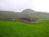 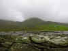 Lohar
stone fort takes some real dedication to find. We saw a small sign leading
down off the main road. A narrow 1.5-lane road headed off into the misty
rain. We didn’t have much else to do, and as I was driving, I took the
road less traveled. As we traveled, it became clear why. Small farmhouses
both populated and abandoned appeared at irregular intervals. Most were
abandoned and some just stonewalls. The road was rutted and full of
potholes, but not impassible. We went for several miles with no further
sign of any antiquity. I figured that in typical Irish fashion, there
would be a sign at the next turnoff or the fort would be visible from the
road. The latter turned out to be the case. Lohar
stone fort takes some real dedication to find. We saw a small sign leading
down off the main road. A narrow 1.5-lane road headed off into the misty
rain. We didn’t have much else to do, and as I was driving, I took the
road less traveled. As we traveled, it became clear why. Small farmhouses
both populated and abandoned appeared at irregular intervals. Most were
abandoned and some just stonewalls. The road was rutted and full of
potholes, but not impassible. We went for several miles with no further
sign of any antiquity. I figured that in typical Irish fashion, there
would be a sign at the next turnoff or the fort would be visible from the
road. The latter turned out to be the case.
A small turnout in the road substituted as a
car park. While the ladies
whipped up a spot of lunch, declining to take the short walk to the fort,
I loaded up and ventured forth. The wind whistled merrily around my
waterproof jacket and hood looking for a way to drive the misty rain past
the barrier. The stone fort is halfway down the hillside and lined with a
cyclone fence all around. The entry is on the more SW side as I recall.
The walls are in fair condition, and it is somewhat smaller than Staigue
or Cahergal. The view down the valley and up to the hills was incredible,
even in the rain. On a sunny day, this one must be a real beauty.
About this time the rain began in earnest, and I had to jog back to the
car to keep from getting completely soaked. The ladies had finished making
lunch and we munched on sandwiches with good strong Irish cheese and
washed it down with Ireland’s best club soda.
The fort dates to the 9th century AD and was probably just a small family
holding with two huts inside and an underground passage beneath.
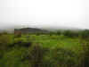 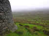 Staigue
Stone Fort stands at the head of the Staigue River Valley on a rise with a
view over to Kenmare Bay if the weather permits. The fort is approximately
2,500 years old and is almost circular, with 13-foot thick walls and about
80 feet in diameter with a single south entrance. The fort is stone
construction and is classified as a caher as opposed to a rath, which were
usually wood. The fort consists of two drystone masonry faces filled with
stone and other rubble. An internal terrace runs around the interior face
this is accessed by integral interconnecting ramp-like steps that also
extend up to the top of the wall. There are two small chambers in the the
wall accessed through small lintelled openings. The fort was restored
during the 19th century, so it may not be completely authentic in its
current state. It was probably used more as a homestead for an extended
family and would have contained domestic and farm buildings. Staigue
Stone Fort stands at the head of the Staigue River Valley on a rise with a
view over to Kenmare Bay if the weather permits. The fort is approximately
2,500 years old and is almost circular, with 13-foot thick walls and about
80 feet in diameter with a single south entrance. The fort is stone
construction and is classified as a caher as opposed to a rath, which were
usually wood. The fort consists of two drystone masonry faces filled with
stone and other rubble. An internal terrace runs around the interior face
this is accessed by integral interconnecting ramp-like steps that also
extend up to the top of the wall. There are two small chambers in the the
wall accessed through small lintelled openings. The fort was restored
during the 19th century, so it may not be completely authentic in its
current state. It was probably used more as a homestead for an extended
family and would have contained domestic and farm buildings.
On the particular day we visited, the weather was extremely damp. A heavy
mist hung over the entire valley and contributed to the atmosphere of
antiquity. The ladies were reluctant to venture from the relatively
comfortable confines of the
car, so I set out on my own.<p>Through a One
Euro gate (honor system), a small lane led up and around to the fort. It
sits on a hill and was wreathed in mist and rain. The grass was the
greenest of green and offset by clumps of reddish bracken. I was alone
(except for the sheep) as I entered the fort and walked around inside.
There isn’t much to see except for stonewalls, which you are not supposed
to climb. I risked it and was rewarded with a damp view across the valley
lined with rocks, sheep and low clouds of mist. Typical Irish countryside;
go figure.
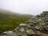 Not
wanting to anger the Tuatha De Danann or the Garda, whomever might object
most to my illicit wall climbing, I ventured back to the
car. I paused
along the way to snap pictures of the fort receding into the mist. I am
sure it is a beautiful location and a stupendous view in nice weather and
well worth a visit either way. Not
wanting to anger the Tuatha De Danann or the Garda, whomever might object
most to my illicit wall climbing, I ventured back to the
car. I paused
along the way to snap pictures of the fort receding into the mist. I am
sure it is a beautiful location and a stupendous view in nice weather and
well worth a visit either way.
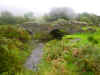 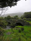 On
the way back to the main road we ran across a pretty little stone bridge.
The rain had let up and we all got out to take a few pictures. Soon large
drops began to fall so back into the
car we went. A little waterlogged, we
made our way to Staigue Stone Fort Cafe. The
standard Irish dog lay in the doorway waiting to greet us. Black and white
and very happy to see us. Inside we waded through a forest of gift racks,
tables and shelves to the snack area. We ordered an assortment of hot tea
and hot chocolate and tried to shake off the cold and damp. We browsed
through the gifts and found some good buys and a better than average
assortment of touristy items. We chatted for awhile with the woman behind
the counter while we sipped our drinks. We paid up for the drinks and
gifts and headed back out into the misty, rainy day. If you're in this
area and headed for Staigue Stone Fort, pay them a visit. They made our
damp day a bit more pleasant! On
the way back to the main road we ran across a pretty little stone bridge.
The rain had let up and we all got out to take a few pictures. Soon large
drops began to fall so back into the
car we went. A little waterlogged, we
made our way to Staigue Stone Fort Cafe. The
standard Irish dog lay in the doorway waiting to greet us. Black and white
and very happy to see us. Inside we waded through a forest of gift racks,
tables and shelves to the snack area. We ordered an assortment of hot tea
and hot chocolate and tried to shake off the cold and damp. We browsed
through the gifts and found some good buys and a better than average
assortment of touristy items. We chatted for awhile with the woman behind
the counter while we sipped our drinks. We paid up for the drinks and
gifts and headed back out into the misty, rainy day. If you're in this
area and headed for Staigue Stone Fort, pay them a visit. They made our
damp day a bit more pleasant!

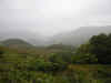 The
rest of the trip was uneventful and pretty much obscured by the rain, mist
and windshield wipers. We did make a stop at Ladies View where there
wasn't much of a view due to the mist. We spent a little time in the gift
shop there. As usual they had some good deals and a wide assortment of
gifts. We arrived back in Ballyferriter in the late evening. The
rest of the trip was uneventful and pretty much obscured by the rain, mist
and windshield wipers. We did make a stop at Ladies View where there
wasn't much of a view due to the mist. We spent a little time in the gift
shop there. As usual they had some good deals and a wide assortment of
gifts. We arrived back in Ballyferriter in the late evening.
TOP
| BACK
|
Ballyferriter, Co.
Kerry
|
| Friday 9/30
We felt another day of local excursions calling
us as the weather was still threatening and we'd done a long drive the day
before. Minard Castle was our first destination after a good breakfast.
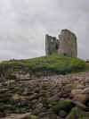 Minard
Castle
lies below Dingle town to the Southeast. It is a short and scenic drive.
The castle lies above a bay with scenic cliffs surrounding it. Minard
Castle
is located 5km southwest of Annascaul village. Travelling from Killarney,
at Lispole, turn left after O’Sullivans Pub (if it is still there). A
short drive down the road takes you to a small bridge. As you cross over
there is parking along the roadside. To the West is a sand and rock beach
with the castle on a hill above. Not much is left of the castle but the
walls. In 1650, the castle was destroyed by Cromwellian forces under
Sadler and LeHunt, who set off explosive charges under its four corners
killing all the occupants. The castle is not accessible and this time they
mean it. It is not safe to enter or climb as the structure is very
unstable. Minard
Castle
lies below Dingle town to the Southeast. It is a short and scenic drive.
The castle lies above a bay with scenic cliffs surrounding it. Minard
Castle
is located 5km southwest of Annascaul village. Travelling from Killarney,
at Lispole, turn left after O’Sullivans Pub (if it is still there). A
short drive down the road takes you to a small bridge. As you cross over
there is parking along the roadside. To the West is a sand and rock beach
with the castle on a hill above. Not much is left of the castle but the
walls. In 1650, the castle was destroyed by Cromwellian forces under
Sadler and LeHunt, who set off explosive charges under its four corners
killing all the occupants. The castle is not accessible and this time they
mean it. It is not safe to enter or climb as the structure is very
unstable.
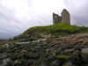 A small stream runs down along
the hill and into the sea. The castle is picturesque from every angle. In
particular walk down along the rocks and take pictures back up towards the
castle. Be careful walking along the rocks as they are round, slippery and
tend to roll underfoot. It would be easy to sprain or break and ankle.
Keep your camera in a bag until you reach a spot you wish to take pictures
from. While you’re walking on the rock,
you’ll need both hands for stability. While there isn’t a lot
to see except the castle, the area is very beautiful and well worth the
short drive to see. A small stream runs down along
the hill and into the sea. The castle is picturesque from every angle. In
particular walk down along the rocks and take pictures back up towards the
castle. Be careful walking along the rocks as they are round, slippery and
tend to roll underfoot. It would be easy to sprain or break and ankle.
Keep your camera in a bag until you reach a spot you wish to take pictures
from. While you’re walking on the rock,
you’ll need both hands for stability. While there isn’t a lot
to see except the castle, the area is very beautiful and well worth the
short drive to see.
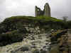 While we were there a German TV
crew was shooting something or other to the East of the castle. They had
taken most of the parking and were extremely rude. At one point they were
trying to get a large truck along the narrow road and were upset that
people were blocking their progress. They were demanding people move their
legally parked cars so they could park and or get by. I ignored them until I was done
taking pictures. I would have probably stayed another hour had they not
been so annoying. Hopefully you’ll not have to experience this. While we were there a German TV
crew was shooting something or other to the East of the castle. They had
taken most of the parking and were extremely rude. At one point they were
trying to get a large truck along the narrow road and were upset that
people were blocking their progress. They were demanding people move their
legally parked cars so they could park and or get by. I ignored them until I was done
taking pictures. I would have probably stayed another hour had they not
been so annoying. Hopefully you’ll not have to experience this.
On the way back from Minard
Castle we passed a small graveyard and shrine. The statue of Mary was
nicely set against stone and ivy and the metal entry gate was sufficiently
rusted and dilapidated to be worth a stop. We took some pictures and made
a quick exist when the rain started up again. We may have mentioned that
we make a habit of taking pictures of interesting Mary shrines and statues
as Karen's mother Sue loved the Mary's of Ireland calendar we created of
Mary statues from our 2002 trip.

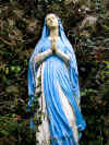
Back in Dingle we
wandered through a few shops of the craft and clothing type. Shirley had a
number of gifts in mind to purchase and we were always on the lookout for
nice Irish specific items. A few Euros lighter, we moved into the main
part of town facing the harbor. While the ladies wandered in and out of
the shops, I walked among the nets, anchor chain, and other fishing
detritus and towards the boats along the quayside. As usual, the sky was
grey and bland and raindrops spattered on the dock. A strong fishy smell
was all pervasive, I wonder what it would have been like when the boats
were just in? Nothing to eventful was happening and the fishy smell was
making me hungry. I went in search of the ladies and lunch. Once I tracked
them down and pried them from the shop they were perusing we found a pub
that looked promising. It had a good amount of locals, so we figured the
food and prices were reasonable. A glance at the menu confirmed our hypothesis.
The food was good and filling and we had an extra pint while we warmed up
and relaxed. Soon it was back to the shopping. I couldn't escape this time
as my input was needed and subsequently ignored. More purchases were made
and more shops visited until we hit the Euro deficit, package capacity or
lack of shops, whichever came first, I don't recall.
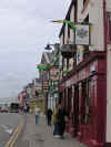
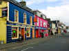
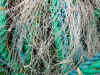
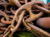
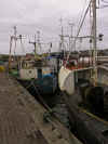
 We
drove back towards Ballyferriter and took the long route as the weather
was clearing. We made a stop at the Ventry graveyard. It was overgrown
with long grass and the wind was blowing fiercely. We stuck it out for
awhile, but succumbed to the elements. We drove back to the cottage and
dropped Shirley off for a rest and hit the road again. We choose to go
back to Dunquin and wandered around photographing the area as the light
changed and clouds rolled in again. We
drove back towards Ballyferriter and took the long route as the weather
was clearing. We made a stop at the Ventry graveyard. It was overgrown
with long grass and the wind was blowing fiercely. We stuck it out for
awhile, but succumbed to the elements. We drove back to the cottage and
dropped Shirley off for a rest and hit the road again. We choose to go
back to Dunquin and wandered around photographing the area as the light
changed and clouds rolled in again.
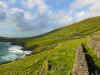
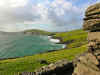


As we headed back to the cottage the
light changed again on Clougher Head. We hopped out of the
car at the
turnout and took a few pictures towards Ballyferriter and to the South.
Back at the cottage the light and shadows were very dramatic as I took the
final shot from the backyard of the cottage.
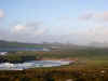

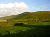
Another evening of home cooking and packing
before our departure the next day for Co. Clare. We burned the remainder
of the turf, gathered our scattered belongings (it is amazing how much you
spread out in a week) and then off to bed.
TOP
| BACK
|
Ballyferriter, Co.
Kerry to Corofin, Co. Clare
|
| Saturday 10/1
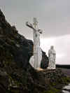 After
breakfast, cleaning up the cottage, cleaning out the refrigerator and
packing the
car, we left Ballyferriter with great regret and
headed into Dingle via the Slea Head drive route for a final look around and some shopping. The weather
had improved considerably and the sun made frequent appearances as we
walked along the brightly painted shops near the harbor. I wandered up and
down the waterfront while the ladies made several visits to the open shop
doorways. After a few minor
purchases we headed out of town and through Connor Pass. After
breakfast, cleaning up the cottage, cleaning out the refrigerator and
packing the
car, we left Ballyferriter with great regret and
headed into Dingle via the Slea Head drive route for a final look around and some shopping. The weather
had improved considerably and the sun made frequent appearances as we
walked along the brightly painted shops near the harbor. I wandered up and
down the waterfront while the ladies made several visits to the open shop
doorways. After a few minor
purchases we headed out of town and through Connor Pass.
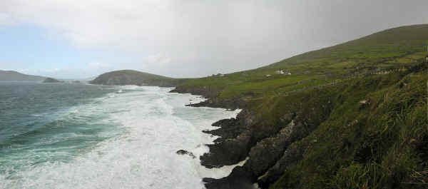
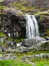  The drive up through Connor Pass was interrupted
often by road construction. The road is narrow with room for two cars side
by side at best. Add a large dump truck into the mix and things get a bit
wild. We survived the lengthy trip up. There wasn't much to see as the
weather continued to worsen as we rose in elevation. By the time we
reached the summit of the pass, the wind was blowing hard and rain
spattered intermittently. We were the only
car in the car park. I dropped a
camera in each pocket, zipped up my waterproof Columbia Sportswear jacket
and pulled the hood up and tied it down. When I stepped out of the
car,
the wind just about knocked me off my feet. I had to lean into the wind to
walk. Shifting clouds obscured some or all of the view and I only had time
for a few pictures and a short video clip before I was battered into
submission. Back in the
car, I checked the video clip and could only hear
the wind blowing against my coat but the view was nice. We headed down the
other side, past a waterfall and through the swirling clouds towards Camp. The drive up through Connor Pass was interrupted
often by road construction. The road is narrow with room for two cars side
by side at best. Add a large dump truck into the mix and things get a bit
wild. We survived the lengthy trip up. There wasn't much to see as the
weather continued to worsen as we rose in elevation. By the time we
reached the summit of the pass, the wind was blowing hard and rain
spattered intermittently. We were the only
car in the car park. I dropped a
camera in each pocket, zipped up my waterproof Columbia Sportswear jacket
and pulled the hood up and tied it down. When I stepped out of the
car,
the wind just about knocked me off my feet. I had to lean into the wind to
walk. Shifting clouds obscured some or all of the view and I only had time
for a few pictures and a short video clip before I was battered into
submission. Back in the
car, I checked the video clip and could only hear
the wind blowing against my coat but the view was nice. We headed down the
other side, past a waterfall and through the swirling clouds towards Camp.
  We made our usual stop in Camp
to visit to Mike
O'Neil fine establishment, the Railway
Tavern. We brought him a bottle of Rogue
Dead Guy ale from Oregon and a matching pint
glass and promised to send him an Oregon license plate for his wall. We
hope to spend a night in Camp on the next trip and an evening at the Railway
Tavern. We made our usual stop in Camp
to visit to Mike
O'Neil fine establishment, the Railway
Tavern. We brought him a bottle of Rogue
Dead Guy ale from Oregon and a matching pint
glass and promised to send him an Oregon license plate for his wall. We
hope to spend a night in Camp on the next trip and an evening at the Railway
Tavern.
We had a lunch appointment with our friend Julie
in Limerick so we made a beeline for Limerick and made it just in time.
The nice thing about Ireland is that you can get places quickly under most
circumstances when you're going between larger cities. We spent a pleasant
few hours with Julie over a carvery lunch (chips with everything including
lasagna with cheddar cheese). We took a tour of her apartment and we were off again for Co. Clare
and Corofin. We had a place reserved for the week but no clear idea of how
to get there.
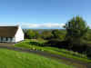  We
found instructions in Corofin and went off on a winding drive along narrow
lanes and through woods to the Corofin Lake Cottages
above Corofin, Co. Clare. A delightfully picturesque and cold cottage with
a faux stone floor. A peat fires was burning and helped to fight the damp.
It took awhile, but we finally figured out how to operate the floor
heating and the place became much nicer. There was a very nice kitchen
with a full sized fridge, a dishwasher and laundry facilities. We had the
choice of four bedrooms and an upstairs loft area. The main area was
spacious with a full sized dining room table and lots of comfortable
chairs and couches near the fireplace. We purchased a large bag of real peat
(not compressed bricks) in town for less than 10 Euro and still had some
left at the end of the week. I don't know if you're supposed to import it, but we
packed it home. We
found instructions in Corofin and went off on a winding drive along narrow
lanes and through woods to the Corofin Lake Cottages
above Corofin, Co. Clare. A delightfully picturesque and cold cottage with
a faux stone floor. A peat fires was burning and helped to fight the damp.
It took awhile, but we finally figured out how to operate the floor
heating and the place became much nicer. There was a very nice kitchen
with a full sized fridge, a dishwasher and laundry facilities. We had the
choice of four bedrooms and an upstairs loft area. The main area was
spacious with a full sized dining room table and lots of comfortable
chairs and couches near the fireplace. We purchased a large bag of real peat
(not compressed bricks) in town for less than 10 Euro and still had some
left at the end of the week. I don't know if you're supposed to import it, but we
packed it home.
We didn't pretest
the mattresses, unfortunately they were horrible. Little more than the springs covered
with a sheet. I think they bent all the ends upward to poke into the
sleeper. I seriously considered sleeping on the faux stone floor the last
night. Nothing more enjoyable than driving all day followed by a relaxing
evening on pointed metal skewers. We're considering bringing or
purchasing a blow up airbed as we had several experiences with less than
adequate mattresses in our excursions.
We made many day trips including Doolin,
a boat ride to Inis Oirr, Gort, Ennis, a Lough Derg drive, Spiddal and up to Clifden in
Connemara and back through Cong.
We liked Cong
Abbey, but were not impressed much with the Quiet Man stuff. We made several night trips to Kilfenora for the music at Linnane's
Pub. The owner Gerard's mother led the Kilfenora
Ceili Band for many years, and some of the members played a session
while we were there. Gerard was the consummate Irish bartender, the
Guinness and food was excellent and the craic was mighty. We also tried
Vaughan's Pub for the set dancing, but were not very impressed with the
pub or the dancing, perhaps it was an off night.
We had a quick pint and returned to Linnane's.
TOP
| BACK
|
Corofin, Co. Clare
|
| Sunday 10/2
Book interlude
Here are some books we read, reread or discovered
on our trip. We think you'll enjoy them too. They are all related to
traveling, living and surviving in Ireland. They are best to read after
you've been once. So much will make more sense.
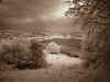 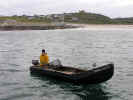 We
took a walk on Sunday morning up the road from our cottage. The road was
narrow with some great views down the hill to the lake below. Along the
way we encountered many cows. The ones below were skeptical, but finally
came over to visit when bribed with tufts of grass from our side of the
fence. Up close the cows were coated in poo and covered with flies. Make
you wonder about what beef is marinated in for the years before you eat
it! We
took a walk on Sunday morning up the road from our cottage. The road was
narrow with some great views down the hill to the lake below. Along the
way we encountered many cows. The ones below were skeptical, but finally
came over to visit when bribed with tufts of grass from our side of the
fence. Up close the cows were coated in poo and covered with flies. Make
you wonder about what beef is marinated in for the years before you eat
it!
  We
went for a long drive as the weather was overcast with intermittent rain. We
hit more of the major towns in the immediate area of Clare. Along the way we
were warned about Old People Crossing just outside of Lisdoonvarna. We
didn't see any. Lisdoonvarna was pretty quiet on a Sunday morning. We
stopped at a store for some water and snacks. Apparently once the
Matchmaking Festival is over, things quiet down considerably. After
Lisdoonvarna we headed out for Doolin. Again, not much happening and most of
the shops and pubs were closed. We took a big loop around and came back to
Kilfenora and walked around town and then to Cathedral. It was open and we
wandered through and took a few pictures in the rain. Back at the cottage we
made some dinner and hung out in front of the fireplace with books and
plotted the coming week's activities. We
went for a long drive as the weather was overcast with intermittent rain. We
hit more of the major towns in the immediate area of Clare. Along the way we
were warned about Old People Crossing just outside of Lisdoonvarna. We
didn't see any. Lisdoonvarna was pretty quiet on a Sunday morning. We
stopped at a store for some water and snacks. Apparently once the
Matchmaking Festival is over, things quiet down considerably. After
Lisdoonvarna we headed out for Doolin. Again, not much happening and most of
the shops and pubs were closed. We took a big loop around and came back to
Kilfenora and walked around town and then to Cathedral. It was open and we
wandered through and took a few pictures in the rain. Back at the cottage we
made some dinner and hung out in front of the fireplace with books and
plotted the coming week's activities.
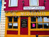
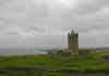

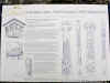
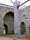
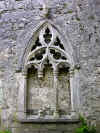
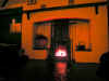
TOP
| BACK |
Corofin, Co. Clare
|
| Monday 10/3
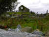
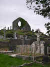 Another
day on the road wandering took us to the Old Ennistymon graveyard. The
graveyard is above the town and to the South. It is quite a large
graveyard with a number of interesting headstones and crypts. We spent a
good deal of time wandering around and taking pictures. Shirley went back
to the
car early as it was still chilly and we eventually finished our
wandering and returned to the
car as well. Another
day on the road wandering took us to the Old Ennistymon graveyard. The
graveyard is above the town and to the South. It is quite a large
graveyard with a number of interesting headstones and crypts. We spent a
good deal of time wandering around and taking pictures. Shirley went back
to the
car early as it was still chilly and we eventually finished our
wandering and returned to the
car as well.
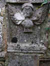

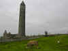 The day was still young and we headed off for Co. Galway to see the Kilmacduagh
Monastic Complex. We'd visited Kilmacduagh on both previous trips and it
remains one of our favorite places. Its location right on the edge of the
Burren affords some very scenic pictures and we are always amused by the
inquisitive cows near the
car park. The cows did not disappoint and stuck
their heads over the stone walls, hoping for a handout. We petted some
noses and offered handfuls of grass as they posed for us with the ruins
and Burren in the background. Then it was off to tromp around the site.
Shirley held up well with all the walking as the site is quite large (see
the sign with map). The sky was overcast, so we didn't get some of the
dramatic pictures obtained in 2007. We
spent about two hours getting reacquainted with the site and apart from
some grounds keeping, found little changed.
The day was still young and we headed off for Co. Galway to see the Kilmacduagh
Monastic Complex. We'd visited Kilmacduagh on both previous trips and it
remains one of our favorite places. Its location right on the edge of the
Burren affords some very scenic pictures and we are always amused by the
inquisitive cows near the
car park. The cows did not disappoint and stuck
their heads over the stone walls, hoping for a handout. We petted some
noses and offered handfuls of grass as they posed for us with the ruins
and Burren in the background. Then it was off to tromp around the site.
Shirley held up well with all the walking as the site is quite large (see
the sign with map). The sky was overcast, so we didn't get some of the
dramatic pictures obtained in 2007. We
spent about two hours getting reacquainted with the site and apart from
some grounds keeping, found little changed.
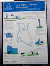
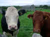
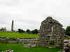

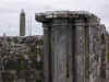
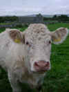
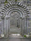
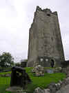 The
next stop was Dysert O' Dea which we'd not seen before. This took some
finding as it is on a back road and not well signed. Probably the easiest
thing is to find Dysert Castle and then work from there as it is a more
visible landmark. Dysert O' Dea has some fine high crosses and its most
interesting feature is the faces carved over the church doorway. We
visited the church first and then climbed over the wall to see the high
cross in the field. We braved the usual bovine crowds, these seemed less
interested than the Kilmacduagh cows. You can also access the high
cross from the Castle side as it is just beyond the high cross. The castle
was closed which was disappointing from a cultural as well as a biological
standpoint. We were hoping for an open bathroom! The
next stop was Dysert O' Dea which we'd not seen before. This took some
finding as it is on a back road and not well signed. Probably the easiest
thing is to find Dysert Castle and then work from there as it is a more
visible landmark. Dysert O' Dea has some fine high crosses and its most
interesting feature is the faces carved over the church doorway. We
visited the church first and then climbed over the wall to see the high
cross in the field. We braved the usual bovine crowds, these seemed less
interested than the Kilmacduagh cows. You can also access the high
cross from the Castle side as it is just beyond the high cross. The castle
was closed which was disappointing from a cultural as well as a biological
standpoint. We were hoping for an open bathroom!
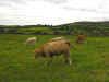
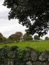
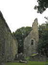
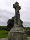
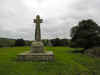
We did some more driving and ended up in the Gort area. We
paid a visit in town and stopped at the local sport shop where we acquired
a hurley and
sliotar. You never know
when you'll need one. We determined that most of the sportswear was to
expensive for our tastes, though we did want a Kerry, Clare and Cork
jersey. We wandered out of town and found our way by design or accident, I
don't remember which to Thoor Ballylee and Yeat's Tower. Thoor Ballylee
is a castle that William Butler Yeats restored. There is a nice stone
bridge along one side. Of course it was closed, but we wandered around the
grounds and took pictures. We took the back roads to Corofin and called it
a night.
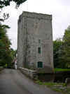
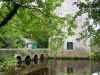
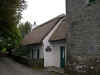
TOP
| BACK
|
Corofin, Co. Clare
|
| Tuesday 10/4
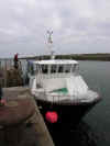 Our destination of the day was Inis Oirr. The boat left from Doolin and
made a direct connection to the island and returned later in the day to
pick us up. We got up early and arrived in plenty of time to buy a ticket
and then board the medium sized boat. The boat got significantly smaller
as we headed out to sea. The waves were quite large and rocked the boat.
Some of the passengers sat inside while quite a number braved the elements
and stayed outside. They were soon quite damp. This wouldn't be a good
trip for someone nervous about boats or prone to seasickness. We arrived
without incident on a solid concrete quay. It was nice to have unmoving
ground underfoot. We set off walking in no particular direction as there
were not any. No map or signs that had any relevance. It turned out we
were going in the wrong direction to see much and what there was proved to
be closed for the season. We wandered along the shore and then in the
other direction. Along the way we spotted an nice thatched cottage with
nice hanging pots and flowers on the window sill.
Our destination of the day was Inis Oirr. The boat left from Doolin and
made a direct connection to the island and returned later in the day to
pick us up. We got up early and arrived in plenty of time to buy a ticket
and then board the medium sized boat. The boat got significantly smaller
as we headed out to sea. The waves were quite large and rocked the boat.
Some of the passengers sat inside while quite a number braved the elements
and stayed outside. They were soon quite damp. This wouldn't be a good
trip for someone nervous about boats or prone to seasickness. We arrived
without incident on a solid concrete quay. It was nice to have unmoving
ground underfoot. We set off walking in no particular direction as there
were not any. No map or signs that had any relevance. It turned out we
were going in the wrong direction to see much and what there was proved to
be closed for the season. We wandered along the shore and then in the
other direction. Along the way we spotted an nice thatched cottage with
nice hanging pots and flowers on the window sill.
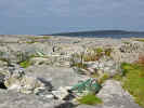 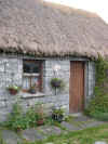 
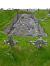
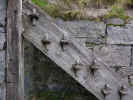 We
found a nice little pub that was open. Shirley elected to stay here and
chat with people and sketch. Karen and I took off and found a small
underground church. Maybe it was above ground at one point, but now a
weathered wooden staircase led down to the ruins. According to the signs
it is Teampall Chaomhain. Founded by St. Caomhan, brother of St. Kevin,
possibly dating to the 10th century. There are other sites nearby. It is
well worth a visit We
found a nice little pub that was open. Shirley elected to stay here and
chat with people and sketch. Karen and I took off and found a small
underground church. Maybe it was above ground at one point, but now a
weathered wooden staircase led down to the ruins. According to the signs
it is Teampall Chaomhain. Founded by St. Caomhan, brother of St. Kevin,
possibly dating to the 10th century. There are other sites nearby. It is
well worth a visit
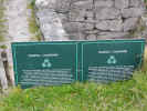  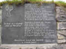 
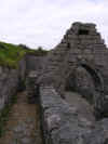 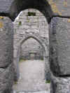 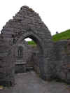  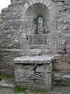 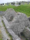
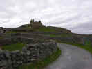
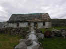 We
walked up the hill towards a castle. We passed a less reputable cottage
that looked abandoned or at least poorly maintained. I don't imagine it
takes long for the elements to weather anything quickly in this
environment. The wind was blowing stiffly and the air was chilly. The road
led up along stone walled lanes. We stopped to take a picture with a
travel section from the local newspaper. We intended to submit it, but
never got around to it. Eventually we arrived at the castle. The walls
were battered, but there is an excellent view of the island and the town
below. Stone walls crisscrossed the land, dividing green fields into a
patchwork of green and brown. We took a few panoramas of the landscape,
one of which turned out well. We
walked up the hill towards a castle. We passed a less reputable cottage
that looked abandoned or at least poorly maintained. I don't imagine it
takes long for the elements to weather anything quickly in this
environment. The wind was blowing stiffly and the air was chilly. The road
led up along stone walled lanes. We stopped to take a picture with a
travel section from the local newspaper. We intended to submit it, but
never got around to it. Eventually we arrived at the castle. The walls
were battered, but there is an excellent view of the island and the town
below. Stone walls crisscrossed the land, dividing green fields into a
patchwork of green and brown. We took a few panoramas of the landscape,
one of which turned out well.
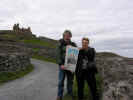 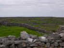  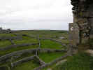 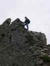 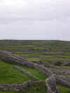 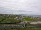
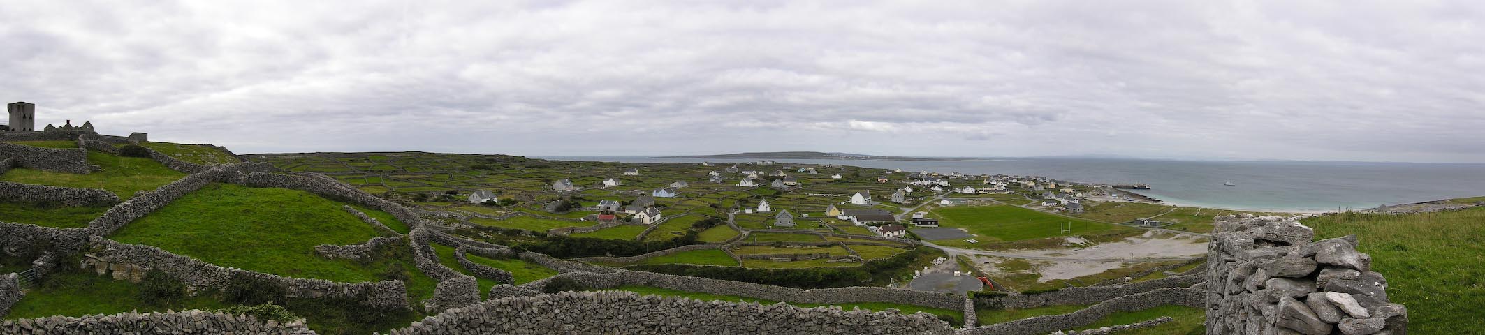
 Thoroughly chilled we headed back to the pub for a pot of hot tea and then
took a walk back towards the quay. A few horse drawn carts passed by
looking for customers, but Karen's allergy to horses kept us away. We
walked through town and saw horses in small fields next to houses,
interesting mounds with signs, and a few dogs, or maybe the same dog just
getting around quickly. Most dogs in Ireland are small black and white
sheep dogs. We walked back to the shore and wandered along doing some
beachcombing for shells and interesting rocks. The rocks are very similar
to Burren rocks, but more smoothed by the sea. We came to another pub and
took advantage of the facilities and shelter from the wind. We chatted
with the bartender and examined the memorabilia on the walls.
Thoroughly chilled we headed back to the pub for a pot of hot tea and then
took a walk back towards the quay. A few horse drawn carts passed by
looking for customers, but Karen's allergy to horses kept us away. We
walked through town and saw horses in small fields next to houses,
interesting mounds with signs, and a few dogs, or maybe the same dog just
getting around quickly. Most dogs in Ireland are small black and white
sheep dogs. We walked back to the shore and wandered along doing some
beachcombing for shells and interesting rocks. The rocks are very similar
to Burren rocks, but more smoothed by the sea. We came to another pub and
took advantage of the facilities and shelter from the wind. We chatted
with the bartender and examined the memorabilia on the walls.
 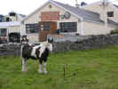 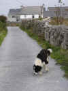 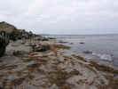 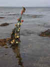 
Eventually the ships horn sounded and we made our way back to the
quay to catch the boat to Doolin. On the way out, a lobster fisherman
zipped by in his currach,
looking a bit chilled and wind blown, but probably glad not to be rowing.
We spotted the wreck of the cargo ship Plassy still rusting on the shore
since 1960. We experienced the same rough seas on the return trip, perhaps
a bit more than before. We arrived safely in Doolin, a bit under whelmed
by the experience. Going a bit earlier in the season would have at least
made bikes available and more shops and sites would have been open. Oh
well, live and learn. This is not to in any way suggest that you shouldn't
visit any of the Aran Islands. Just pick your time carefully and adjust
your expectations accordingly.
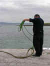 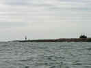 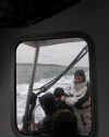
TOP
| BACK
|
Corofin, Co. Clare
|
| Wednesday 10/5
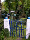 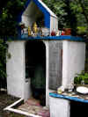 St. Flannan's Well or as I like to refer to him,
the patron Saint of Recycling is located in Maurice's Mill near Inagh Co.
Clare. St. Flannan's Well or as I like to refer to him,
the patron Saint of Recycling is located in Maurice's Mill near Inagh Co.
Clare.
Rough Directions:
Northeast of Inagh, Drumanure. From Inagh on the Corrofin road take the
second turn left to Drumanure, down a black road. Ask locals for
directions (as we had to), since this well is unmapped.
At the time the path up to the site was pretty rough. Just a worn area
through the weeds and mud. As of 2007 there is a nicely laid out path with
sawdust and a roped off boundry.
The site is obviously
carefully tended and surrounded by unusual little altars decorated with
fresh flowers. Lighted candles illuminate the well house. A sacred old ash
tree is venerated and it is claimed that the water from the well doesn’t boil. Pattern
Day on the 18th of December is still popular. Evidently someone had a lot
of spare appliances, plastic bottles and other debris and decided to use
it decoratively. I even spotted what appeared to be a chemical or
insecticide sprayer of some kind that had been cut in half and filled with
statuary. We avoided being overly familiar with the black and white puppy
who created us enthusiastically as he was crawling with fleas. We had a
interesting time wandering among the iconography and then slogged back to
the
car.
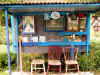
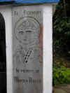
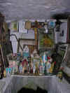
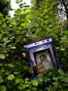
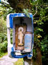
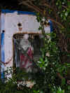
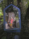
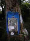
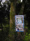
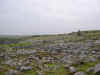
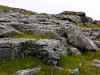 Leaving
the well we headed out into the Burren and stopped at several point for
photos. Below is a panorama of one of the more picturesque sights. A rocky
canyon opening out onto a flat area before heading into almost pure
limestone. Close examination of the ground reveals many small wild flowers
and quite a number of small snails darting about with exquisite slowness.
We followed signs to the Burren
Perfumery where all the scents are made from local flowers or so the
story goes. We didn't find anything that exciting or maybe that is just
the male perspective, so we left empty handed. It is a long drive out to
the perfumery and after awhile the rock all looks the same. Leaving
the well we headed out into the Burren and stopped at several point for
photos. Below is a panorama of one of the more picturesque sights. A rocky
canyon opening out onto a flat area before heading into almost pure
limestone. Close examination of the ground reveals many small wild flowers
and quite a number of small snails darting about with exquisite slowness.
We followed signs to the Burren
Perfumery where all the scents are made from local flowers or so the
story goes. We didn't find anything that exciting or maybe that is just
the male perspective, so we left empty handed. It is a long drive out to
the perfumery and after awhile the rock all looks the same.
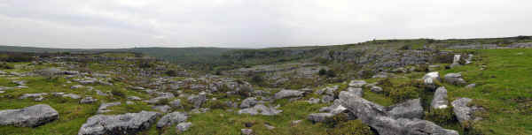
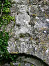 Heading back towards Corofin we saw Carron Church along side the road. We
pulled over and walked out to the church. It is another small church and
after the many others, it was just an ivy covered ruin with some
headstones. None of the pictures came out well and the sky was pretty grey
and made the pictures even less interesting. We did find more of interest
at Kilnaboy just outside Corofin. This was our third visit. For some
reason we like this site. Perhaps it is the location, perched on a hill or
having a convenient
car park, or the sheela na gig over the door. There is
the remains of a round tower in the church yard, covered in ivy. There is
a mix of new and old graves and some are quite recent. The site
overlooks Lake Inchiquin, but it is barely visible through the trees
across the road.
Heading back towards Corofin we saw Carron Church along side the road. We
pulled over and walked out to the church. It is another small church and
after the many others, it was just an ivy covered ruin with some
headstones. None of the pictures came out well and the sky was pretty grey
and made the pictures even less interesting. We did find more of interest
at Kilnaboy just outside Corofin. This was our third visit. For some
reason we like this site. Perhaps it is the location, perched on a hill or
having a convenient
car park, or the sheela na gig over the door. There is
the remains of a round tower in the church yard, covered in ivy. There is
a mix of new and old graves and some are quite recent. The site
overlooks Lake Inchiquin, but it is barely visible through the trees
across the road.
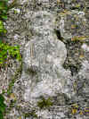
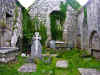
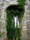
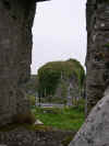
We took a long drive to Ballyvaughan to see more of the Burren and then
drove around Black Head and back across the Burren to Corofin.
We'd been told that members of the old Kilfenora Ceili Band were to
play in Linnane's pub in Kilfenora that evening. We had some dinner and
then got back in the
car for the 15-20 minute drive to Kilfenora. The road
took a bit longer in the dark and I made Karen and Shirley nervous as I
zipped along the dark road and around sharp corners. I had driven this
route so often in the past few days that I knew every corner and hill. We
made it one piece and settled in the pub for a crowded evening of music.
The band was in good form and had a number of guests joining in. We stayed
for several hours and then called it a night and made the drive back to
Corofin safely but with a few more white knuckles from the ladies.
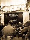
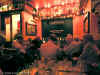
TOP
| BACK
|
Corofin, Co. Clare
|
| Thursday 10/6
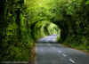 This
morning we thought we'd take a long drive to see Lough Derg and drive
around the East side. From Corofin we took the R460 through Tubber to Gort
and then the R353 toward Portumna. Along the way we made a few stops. The
first was driving through the trees on the way out of Corofin. The trees
had been trimmed in an arch over the road forming a tunnel of green. The
next stop was to see the Abbey Friary or as we called it Abbey Abbey. It
is a nice small ruin with some interesting buildings in a well tended
graveyard. As we drove along we spotted several photo opportunities
including a mailbox set in a ivy covered stone wall. This
morning we thought we'd take a long drive to see Lough Derg and drive
around the East side. From Corofin we took the R460 through Tubber to Gort
and then the R353 toward Portumna. Along the way we made a few stops. The
first was driving through the trees on the way out of Corofin. The trees
had been trimmed in an arch over the road forming a tunnel of green. The
next stop was to see the Abbey Friary or as we called it Abbey Abbey. It
is a nice small ruin with some interesting buildings in a well tended
graveyard. As we drove along we spotted several photo opportunities
including a mailbox set in a ivy covered stone wall.
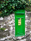
The rest of the drive was pretty but uneventful. The weather was
primarily overcast with some bursts of sun through the clouds. We stopped
along the way for pictures when the sun came out and a scene caught our
eye. It was a nice drive, but again, being the wrong time of year, many of
the tourist sites were closed.
TOP
| BACK
|
Corofin, Co. Clare
|
| Friday 10/7
A long and painful driving day (with some small
rewards) through Spiddal,
then to the Connemara to Clifden and to Cong. The weather ranged from
overcast and cold to downpours. We spent a lot of time driving and little
time looking. In spite of all that, we were able to get a few good
pictures.
We made a quick stop in Spiddal to visit the graveyard right next to
the quay. This is a nice location as you can see the bay, see the boats
and visit the church and graveyard all from the quay
car park. It was a
bit overcast and gray in preparation for the rain to come throughout the
day. The area is exposed to the wind and can be quite chilly.

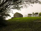
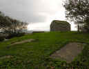
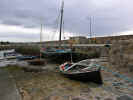
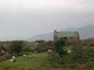 We
headed of for Clifden and zig-zagged through the area, taking the most
direct route. It rained quite a bid and was pretty cold, so we didn't get
out much except for bio breaks and one stop for lunch. We parked next to a
large patch of gorse in bloom. If the sun had been out the landscape would
have been much more attractive. In brief, it was pretty desolate, barren
and gray, beautiful in a gloomy sort of way. Clifden was crowded and it
was raining so we swung through and kept going. Further along we made a
stop at what appeared to be a gift shop. Apparently they'd put up some
statutes and plaques. One said that on such and such a date absolutely
nothing happened. We
headed of for Clifden and zig-zagged through the area, taking the most
direct route. It rained quite a bid and was pretty cold, so we didn't get
out much except for bio breaks and one stop for lunch. We parked next to a
large patch of gorse in bloom. If the sun had been out the landscape would
have been much more attractive. In brief, it was pretty desolate, barren
and gray, beautiful in a gloomy sort of way. Clifden was crowded and it
was raining so we swung through and kept going. Further along we made a
stop at what appeared to be a gift shop. Apparently they'd put up some
statutes and plaques. One said that on such and such a date absolutely
nothing happened.
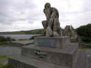 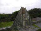
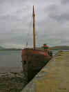 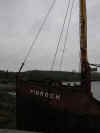 We
ran across a boat near Letterfack, rusting in the rain alongside a
battered looking pier. We parked in the
car park and I went out on the
pier for a closer look. The boat name was Pibroch. The boat is badly
rusted and much of the paint is flaking off. Further research reveals some
interesting facts about this boat. The Pibroch was a tug boat that was
built in Glasgow during 1957. It is one of the last of the
Clyde Puffer type
of vessels remaining today.
Here is some more information. Just down the road not more than a few
hundred feet is some kind of shrine that we stopped to look at. It appears
to have the stations of the cross as well as some other shrines and
objects strewn about the area. The path winds up and around the small rock
outcropping / hill. We
ran across a boat near Letterfack, rusting in the rain alongside a
battered looking pier. We parked in the
car park and I went out on the
pier for a closer look. The boat name was Pibroch. The boat is badly
rusted and much of the paint is flaking off. Further research reveals some
interesting facts about this boat. The Pibroch was a tug boat that was
built in Glasgow during 1957. It is one of the last of the
Clyde Puffer type
of vessels remaining today.
Here is some more information. Just down the road not more than a few
hundred feet is some kind of shrine that we stopped to look at. It appears
to have the stations of the cross as well as some other shrines and
objects strewn about the area. The path winds up and around the small rock
outcropping / hill.
 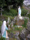  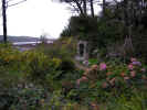 
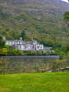  The
next logical stop was Kylmore Abbey. You pretty much can't miss it. We
stopped in the
car park, used the facilities and had a snack in the food
area and wandered through the gift shop. Back out in front we took some
obligatory pictures of the lake with the abbey in the distance. The
weather had improved slightly as it wasn't raining, but the air
temperature and wind made things uncomfortable so we headed back to the
car quickly. We made a quick stop at a
car park along Lough Corrib, but
again the weather was prohibitive. We kept going towards Cong. The
next logical stop was Kylmore Abbey. You pretty much can't miss it. We
stopped in the
car park, used the facilities and had a snack in the food
area and wandered through the gift shop. Back out in front we took some
obligatory pictures of the lake with the abbey in the distance. The
weather had improved slightly as it wasn't raining, but the air
temperature and wind made things uncomfortable so we headed back to the
car quickly. We made a quick stop at a
car park along Lough Corrib, but
again the weather was prohibitive. We kept going towards Cong.
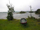
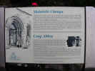 We
hadn't really intended to visit Cong, but the weather had cleared as we
hit the area and the signs reminded Karen that
The Quiet Man was
filmed here. I hadn't seen the movie or at least didn't remember it but
Karen and Shirley had. I've seen it since and enjoyed it for what it is.
There wasn't much to see from a Quiet Man standpoint as most of the
tourist stuff was closed. We found Cong Abbey and parked in the
car park
and wandered around the site. This is a nice ruin and has a number of
interesting areas and view. Well worth a visit. A nearby house was covered
in red ivy and we took a few pictures. We bundled back into the
car when
the rain returned and headed back towards Corofin. We
hadn't really intended to visit Cong, but the weather had cleared as we
hit the area and the signs reminded Karen that
The Quiet Man was
filmed here. I hadn't seen the movie or at least didn't remember it but
Karen and Shirley had. I've seen it since and enjoyed it for what it is.
There wasn't much to see from a Quiet Man standpoint as most of the
tourist stuff was closed. We found Cong Abbey and parked in the
car park
and wandered around the site. This is a nice ruin and has a number of
interesting areas and view. Well worth a visit. A nearby house was covered
in red ivy and we took a few pictures. We bundled back into the
car when
the rain returned and headed back towards Corofin.
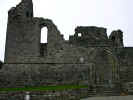 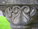 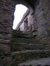 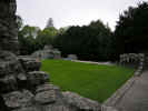 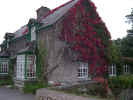
Corofin was still a good distance away and the rain began to really
come down in earnest. We stopped in Headford for dinner and found a small
Chinese restaurant. The food was actually not to bad as compared to
previous experiences with Chinese food in Ireland. There was both spice
and heat and nothing was overly sweet. The decor was typical Chinese
restaurant and the patrons ranged from teenagers out for a Friday night
date to older couples in evening wear. Back on the road the rain continued
and the visibility was so bad on the N6 due to headlights and rain that I
elected to take the slower back roads. We arrived well after dark and the
second day of driving and the pokey mattress just about killed my back. I
was seriously contemplating sleeping on the stone floor.
TOP
| BACK
|
Corofin, Co. Clare to Portland, OR USA
|
|
Saturday 10/8 - Sunday 10/9
We got up and cleaned up the cottage and took off for Shannon to return
the
car and catch our flight back to Portland. Things went off without a
hitch and we had plenty of time to get to our flight. We made all
connections on time and arrived in Portland, tired but with a lot of
memories.
TOP
| BACK
|
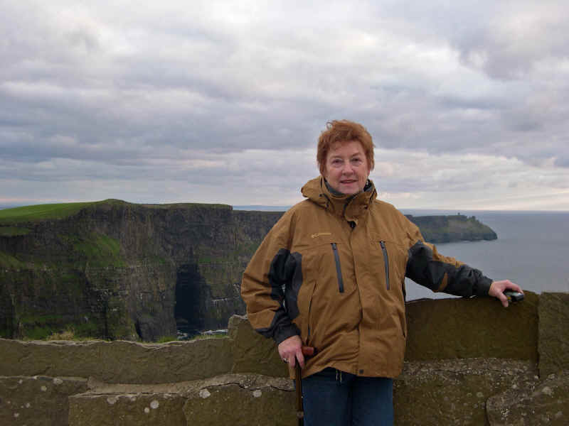
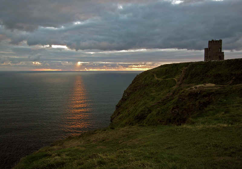
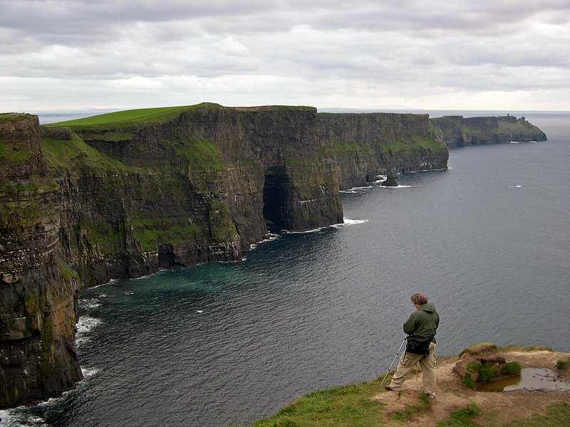
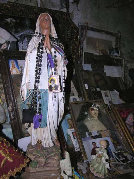
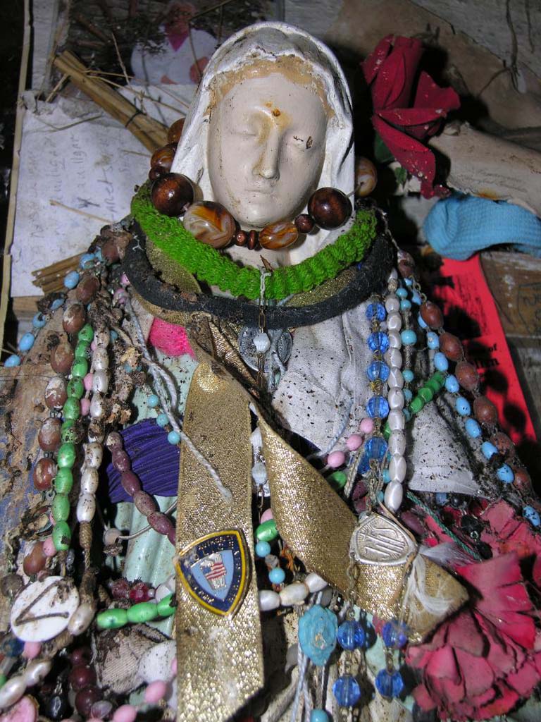
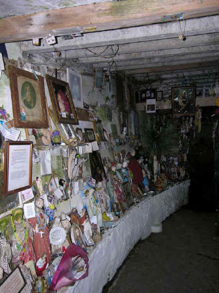
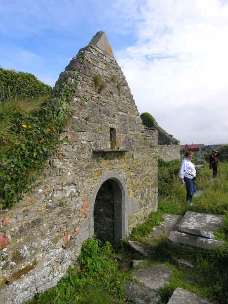
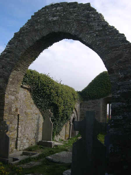
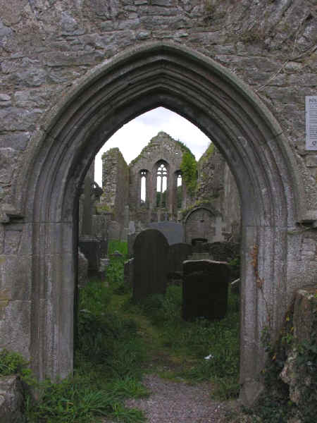
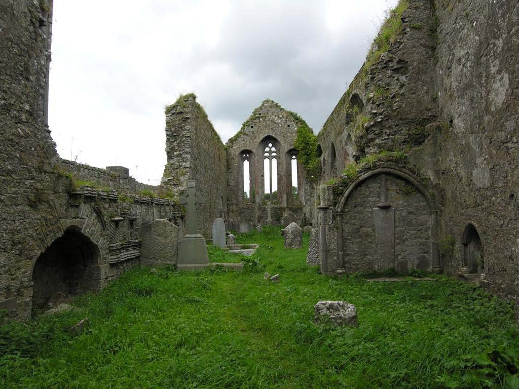
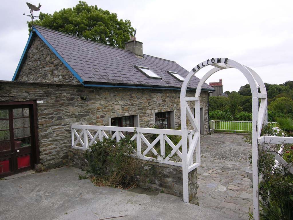
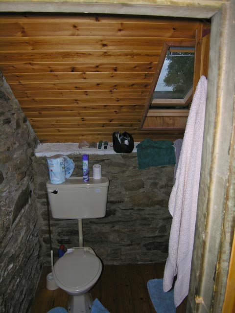
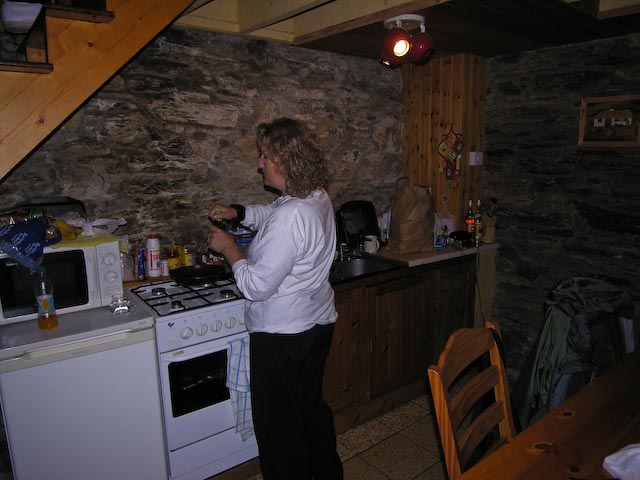
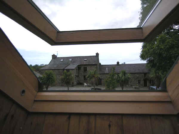
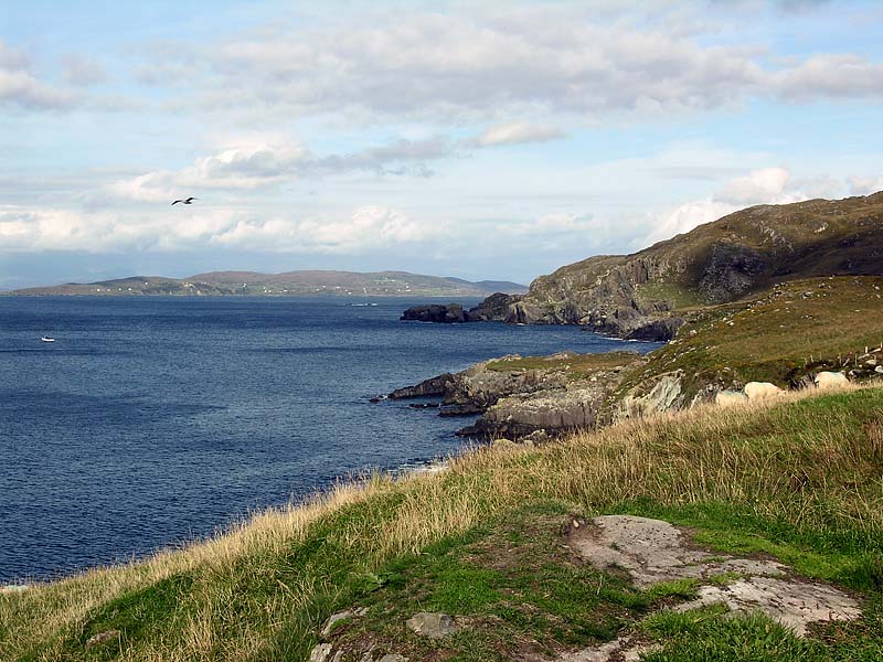
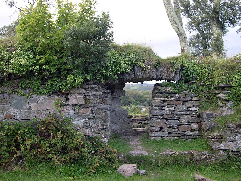


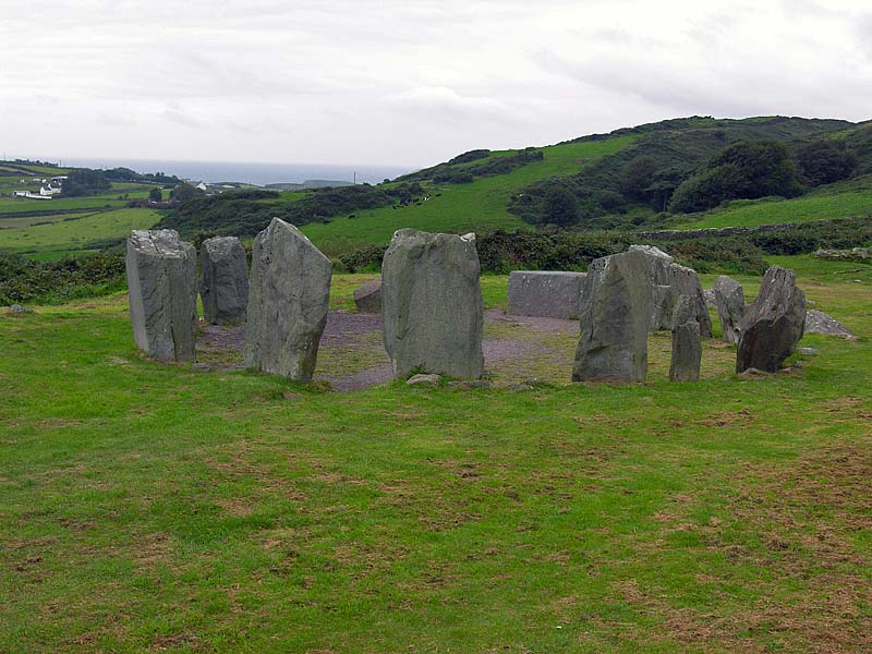

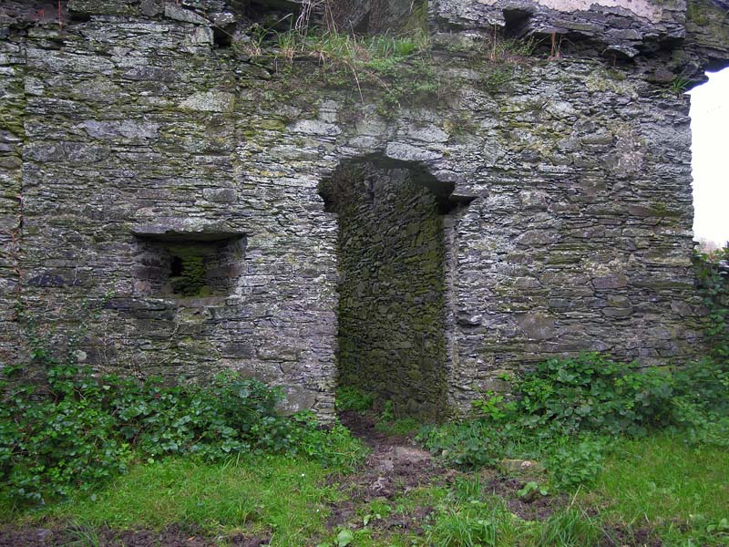
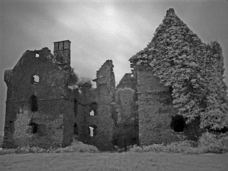

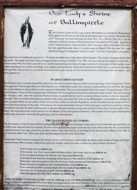
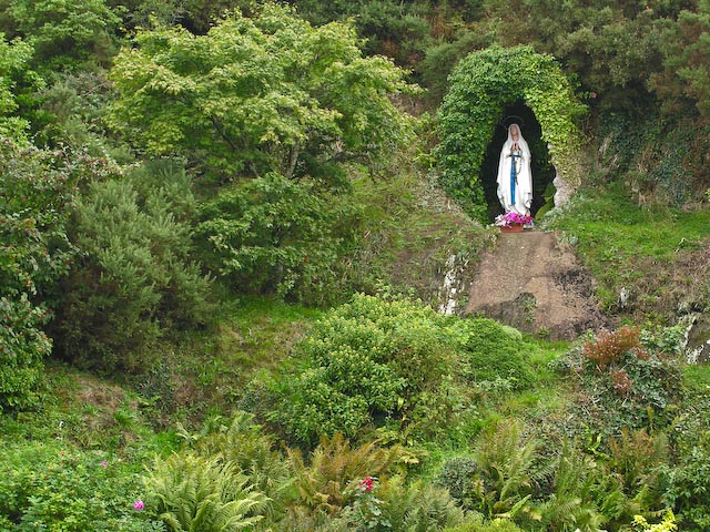
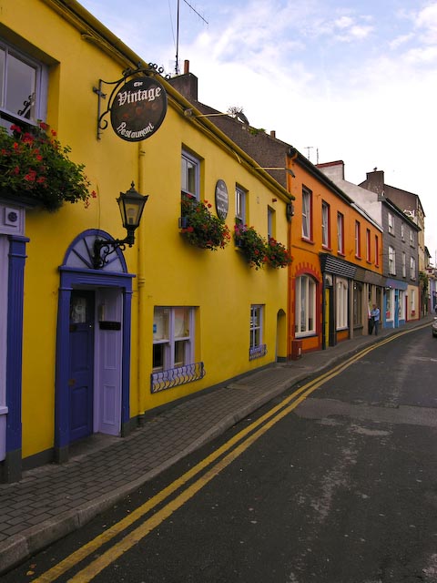

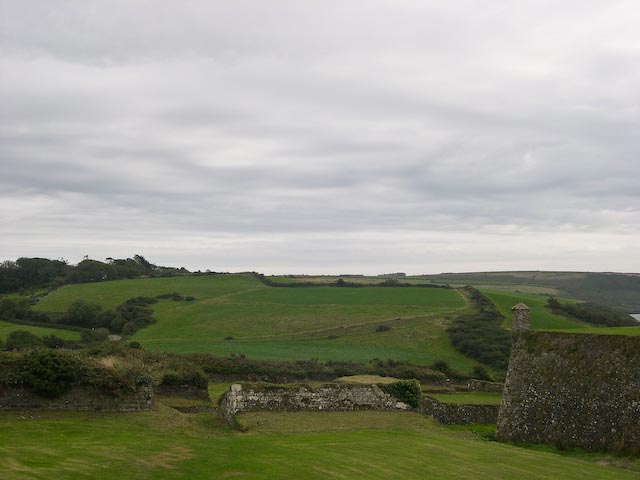
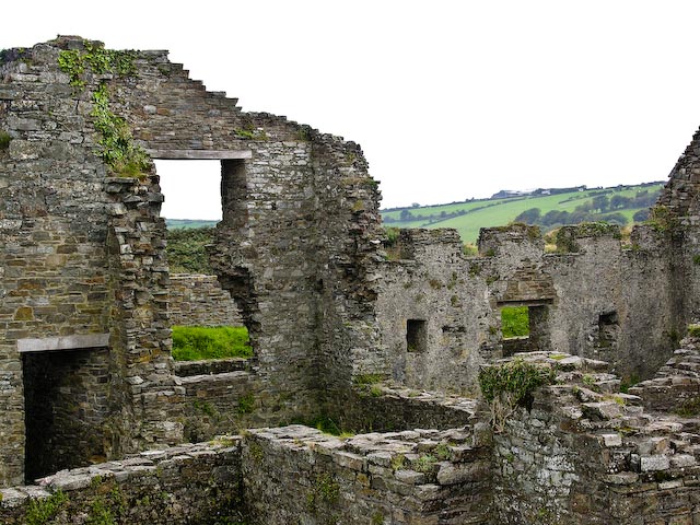
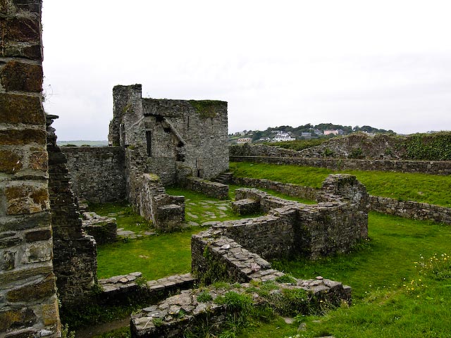
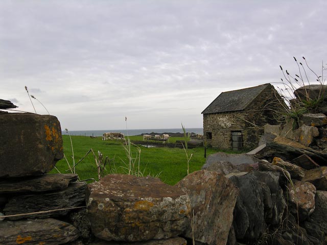

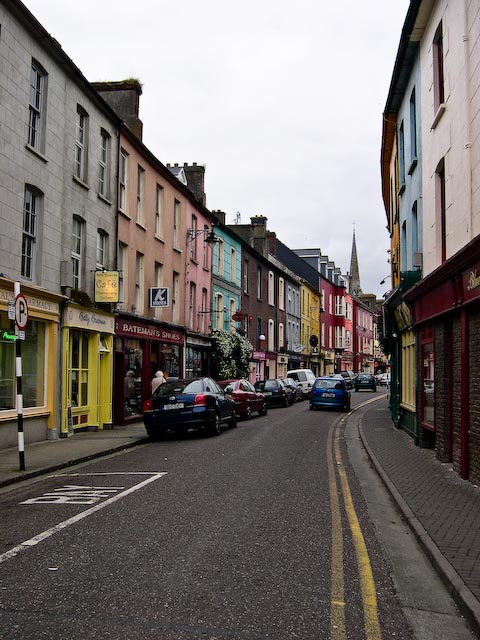
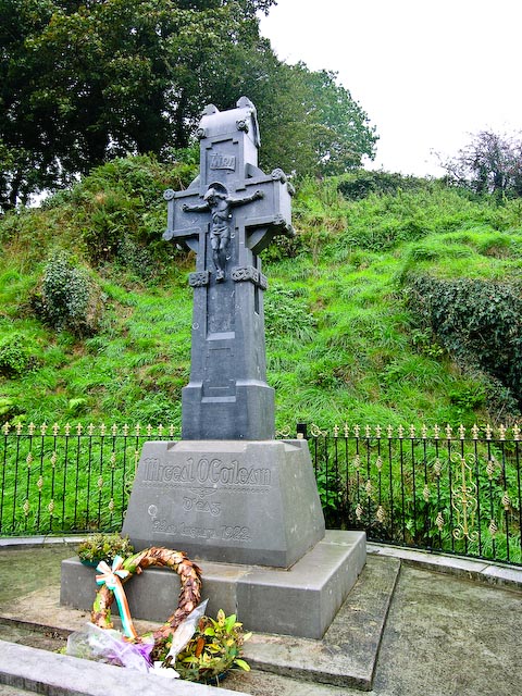
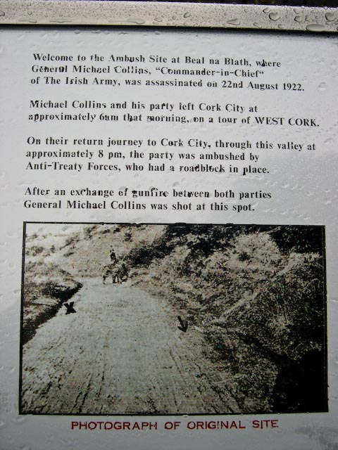
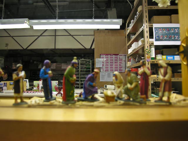

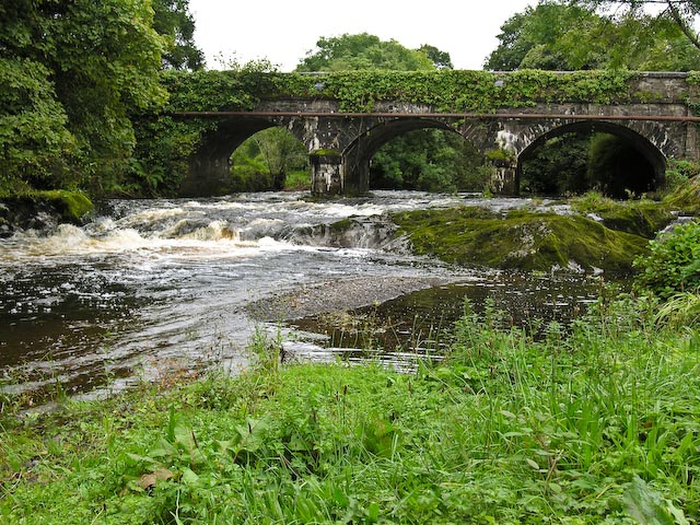

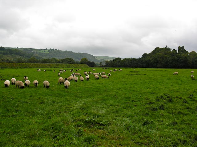
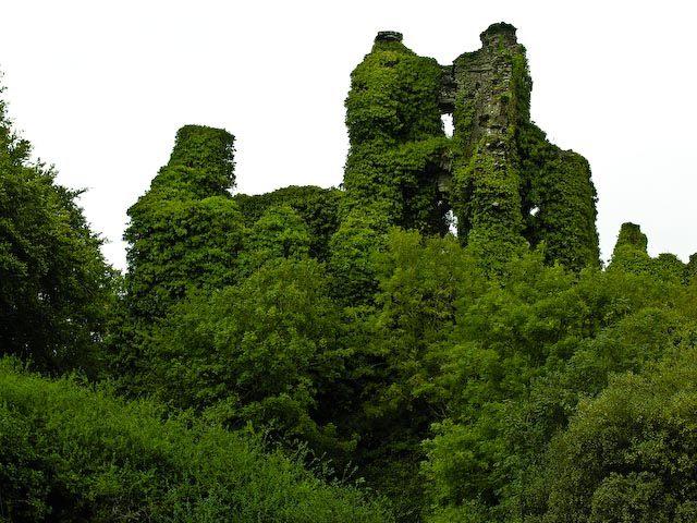
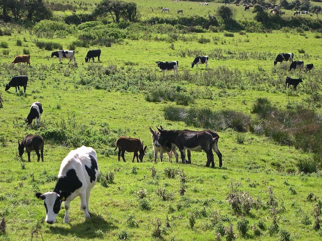
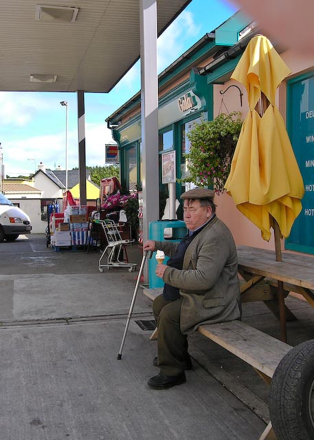
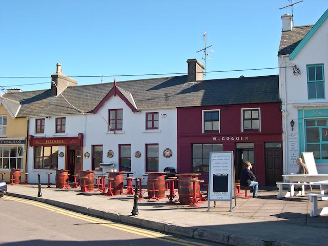
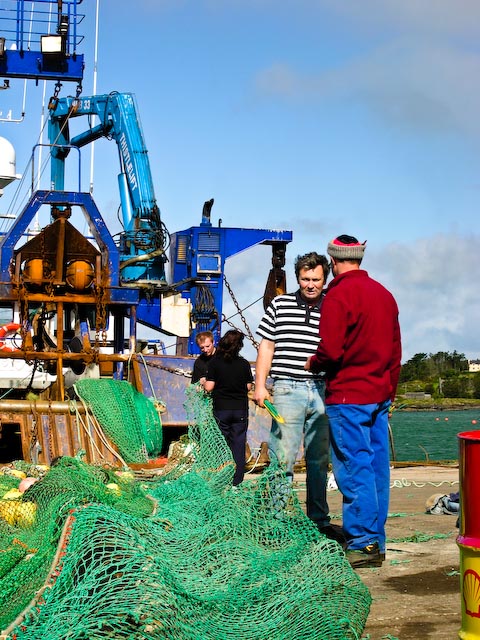
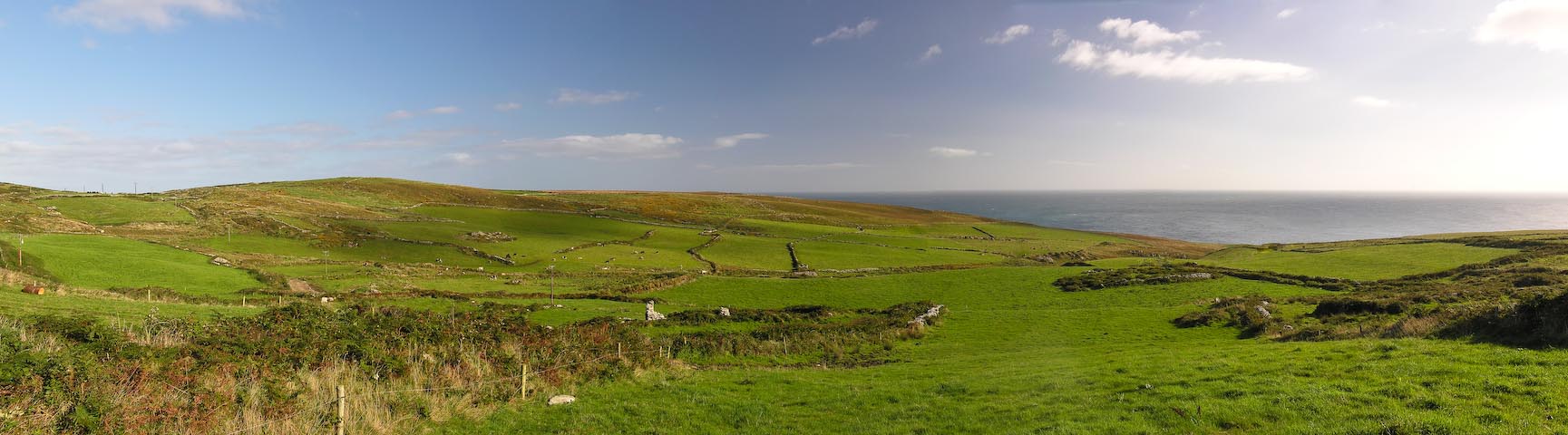


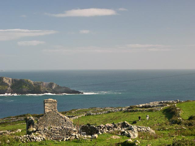
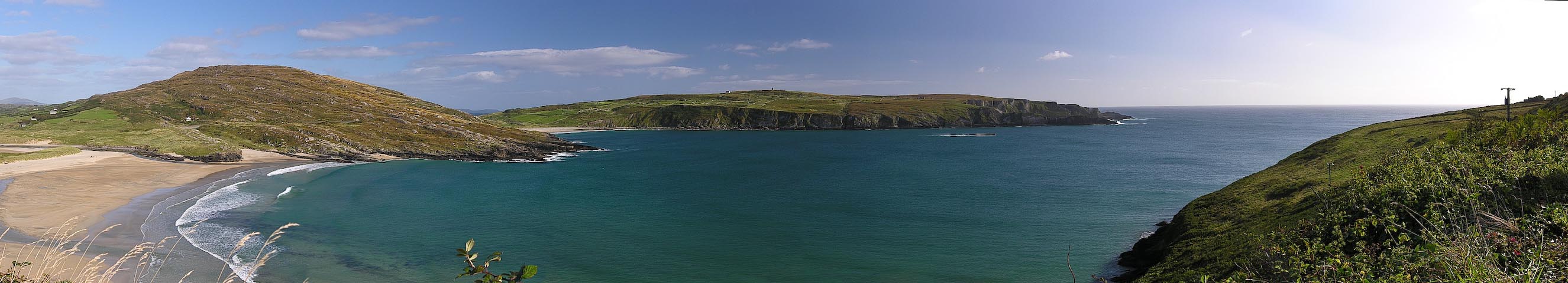

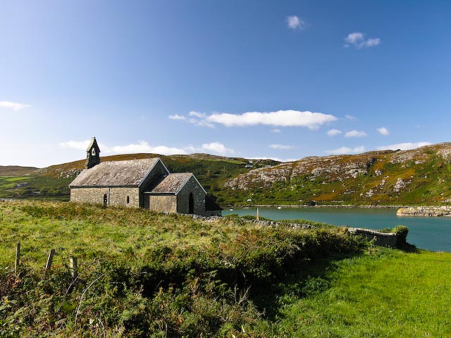
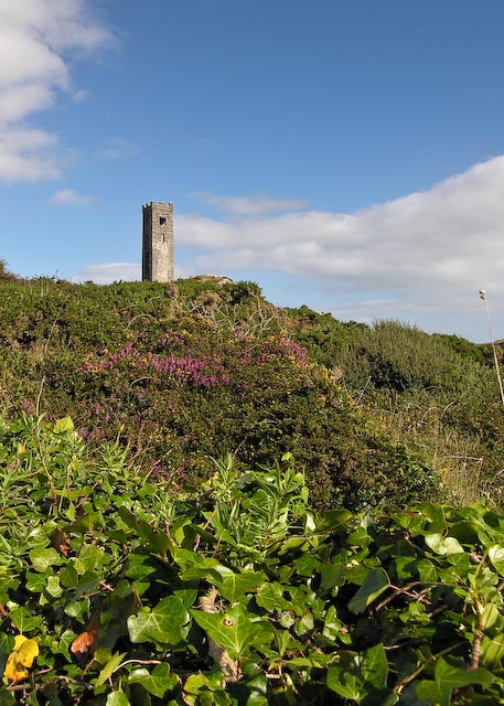

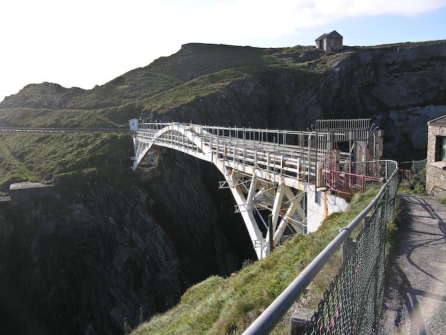
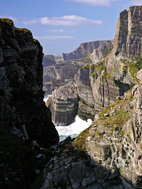

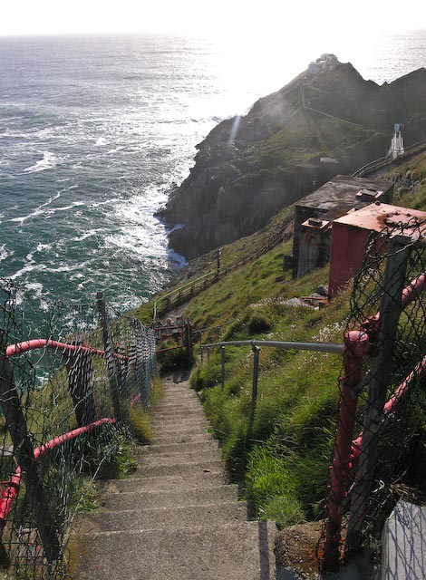
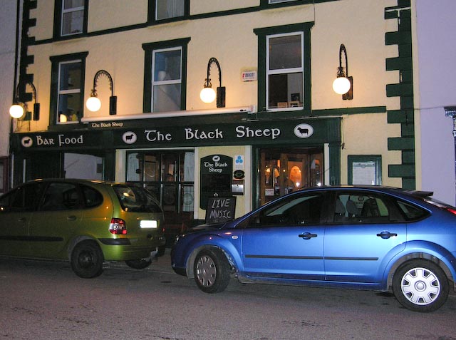
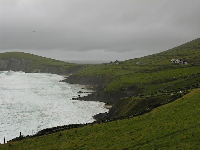
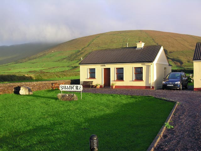
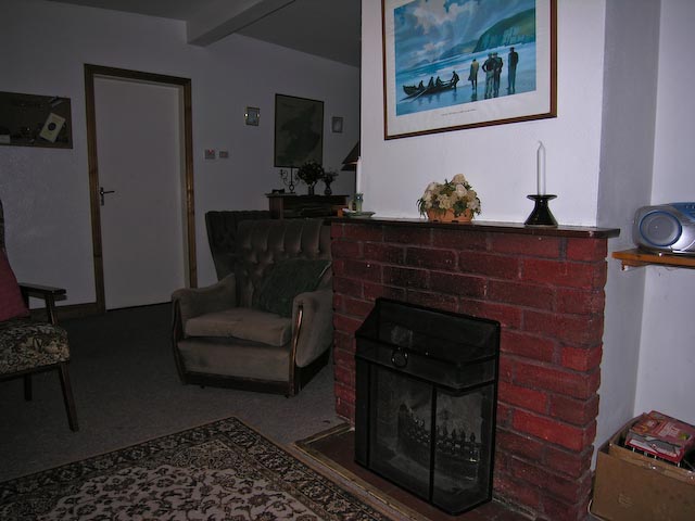
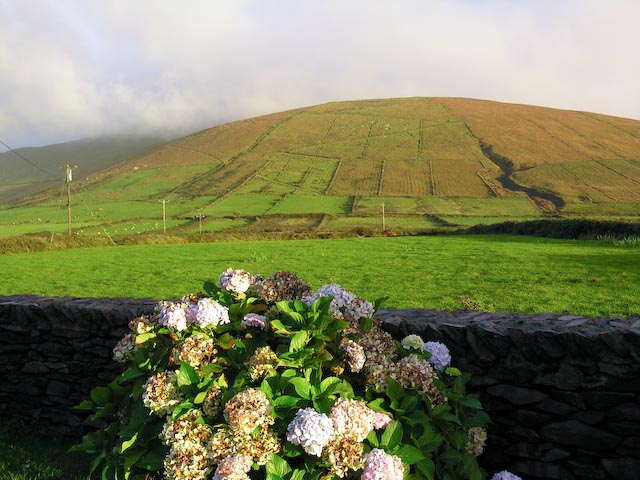
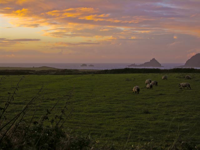
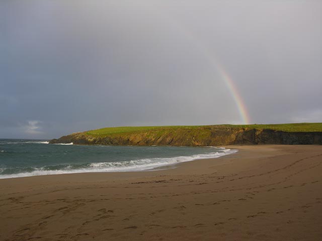
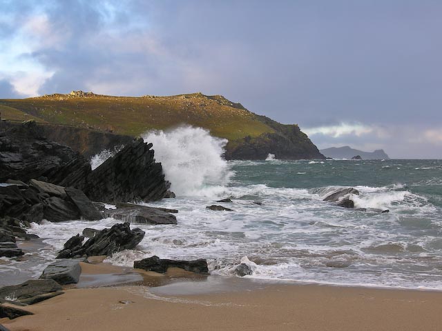
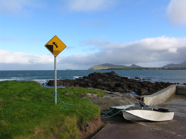
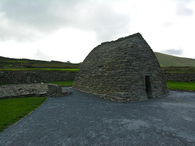
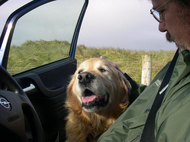
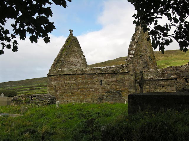
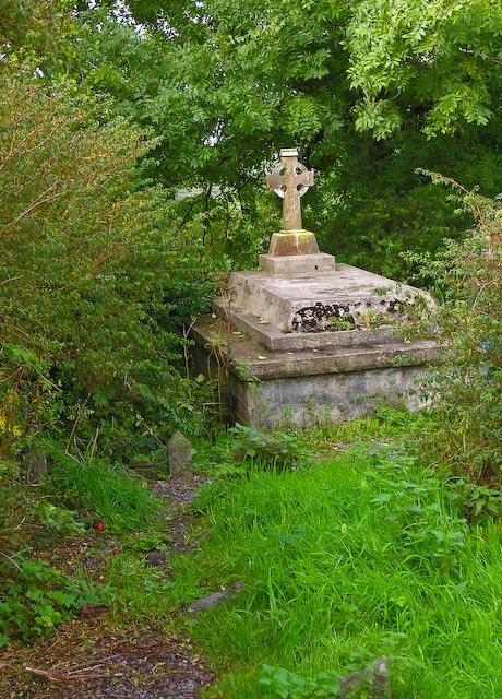

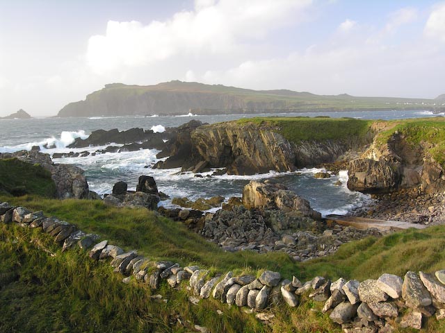
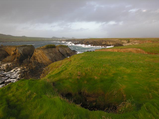
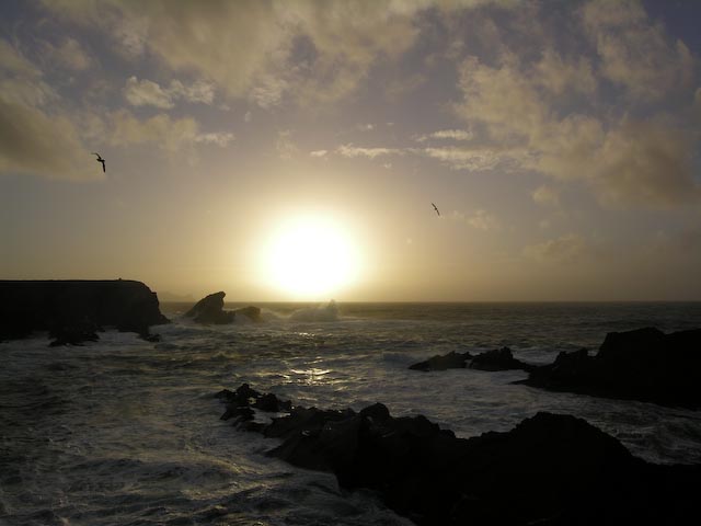

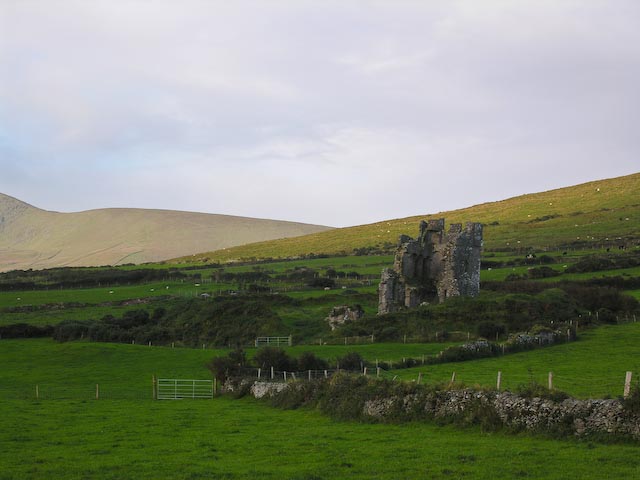
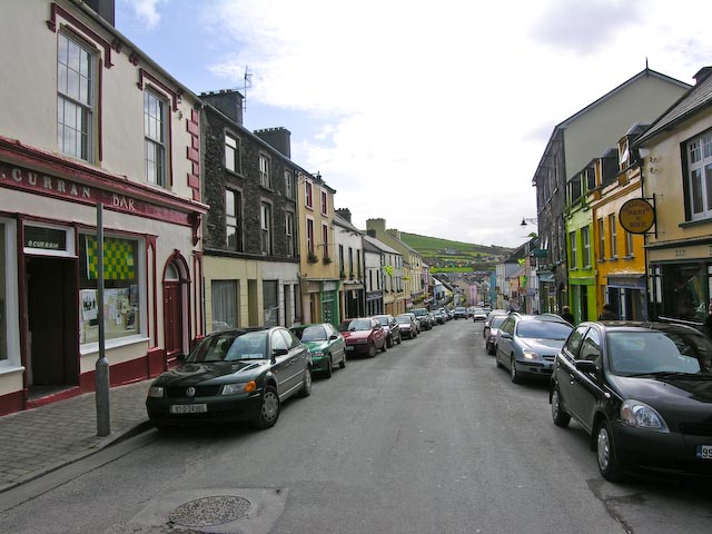
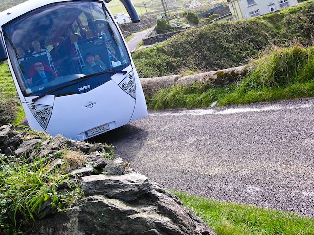
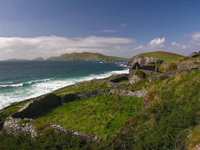
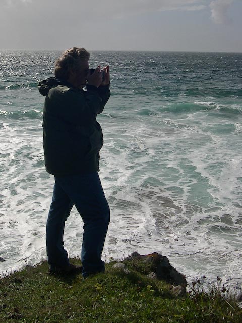
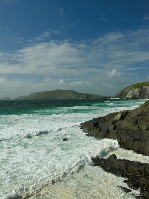
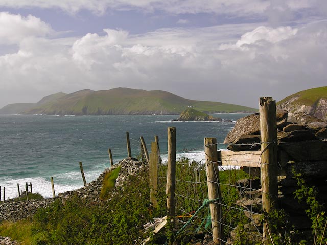
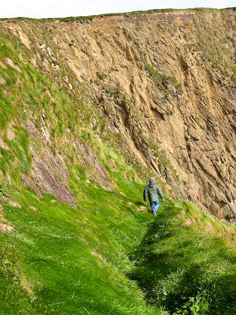
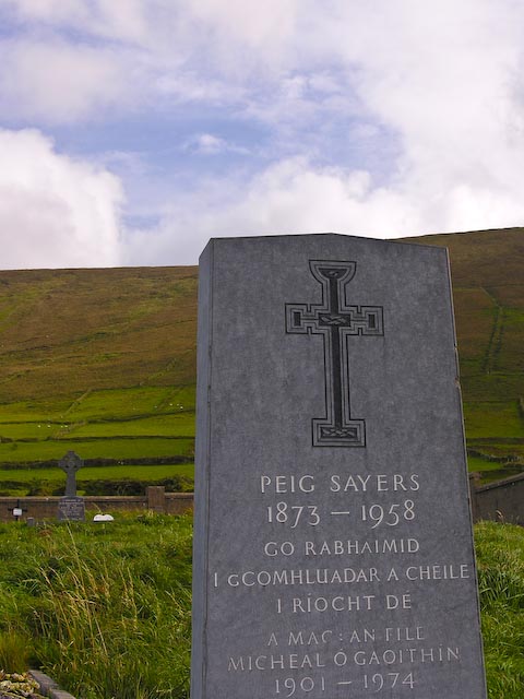
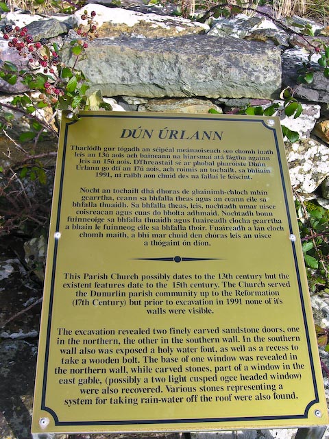
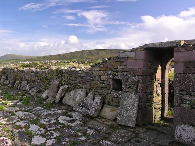
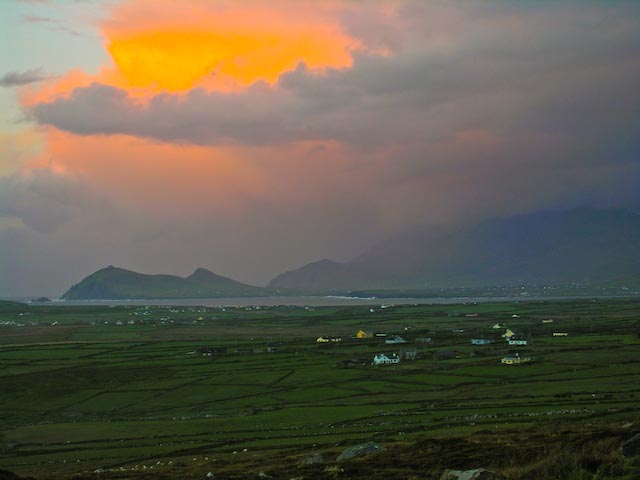
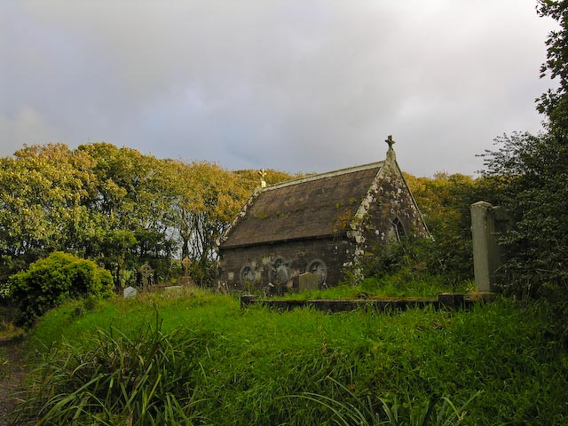
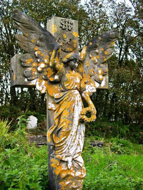

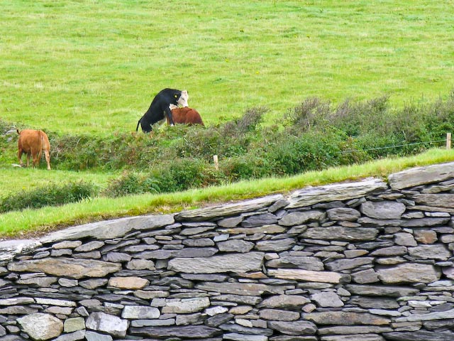
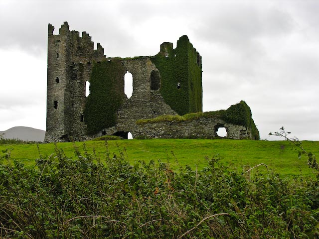
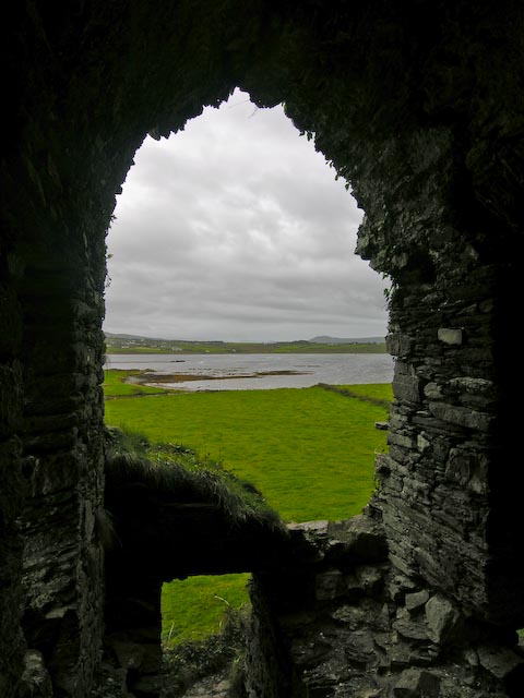
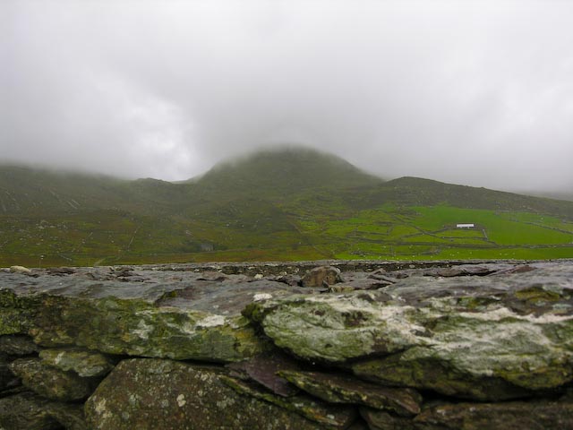
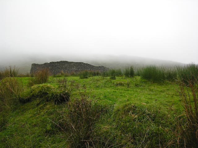
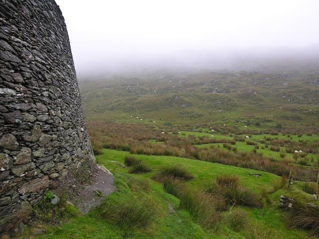
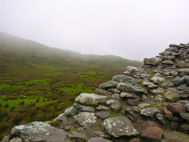
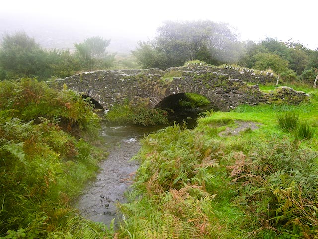
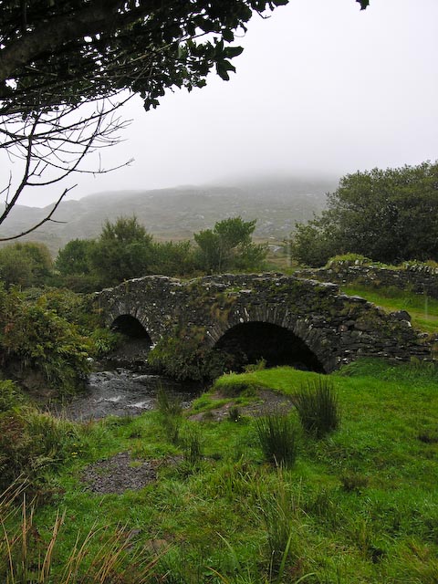
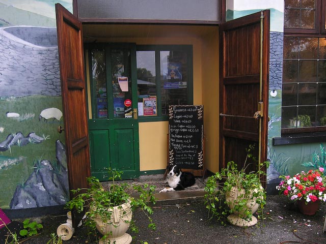
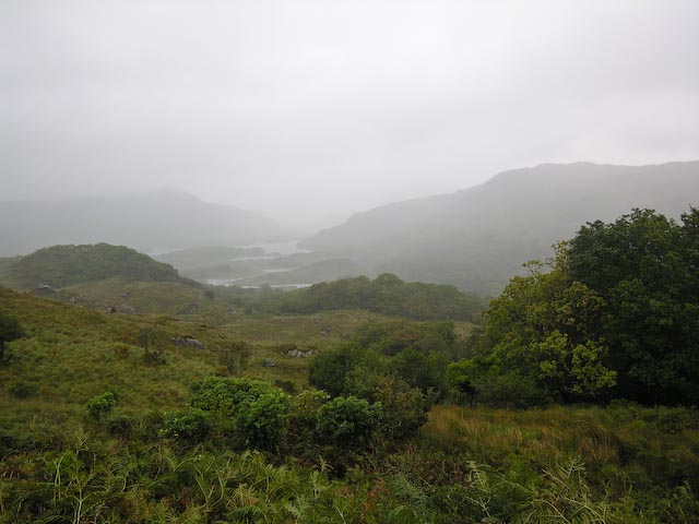
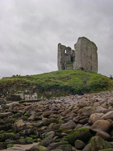
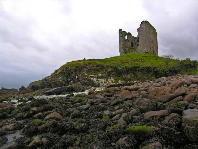
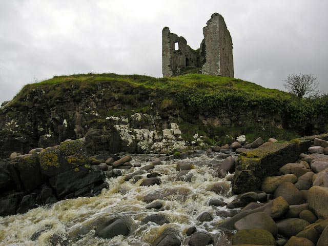
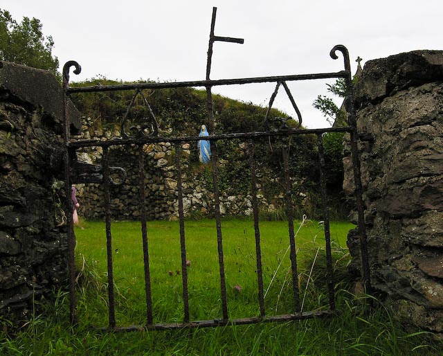
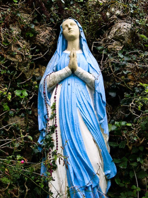

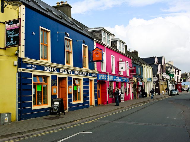

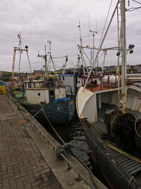
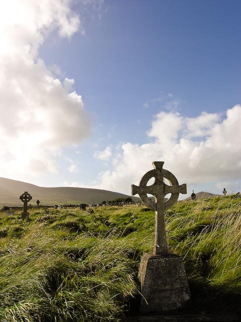
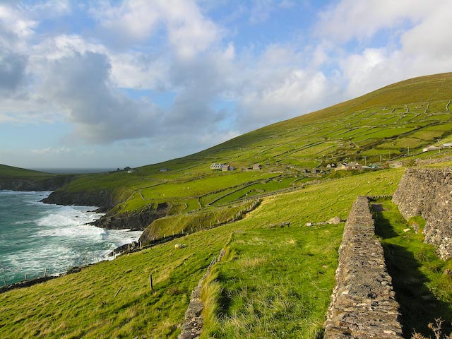
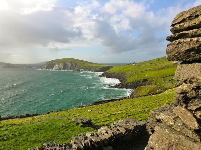
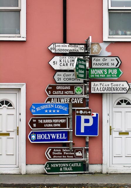

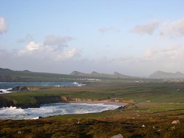
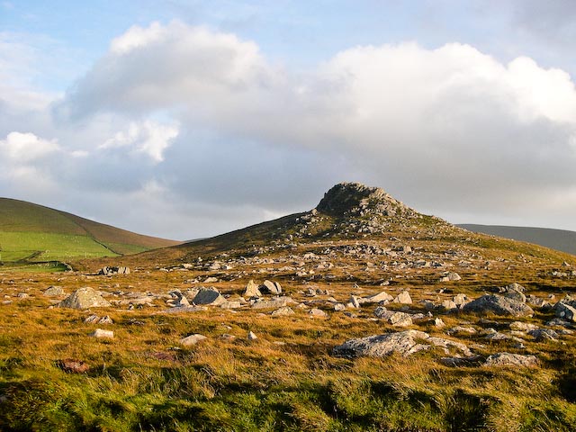
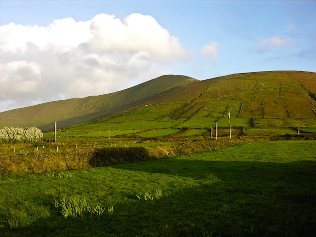
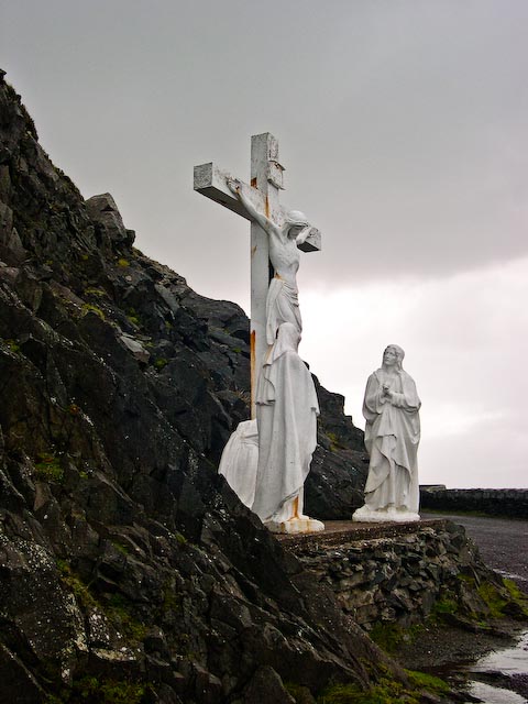
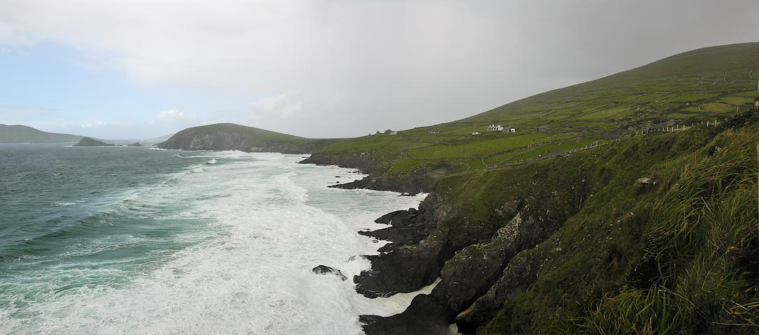
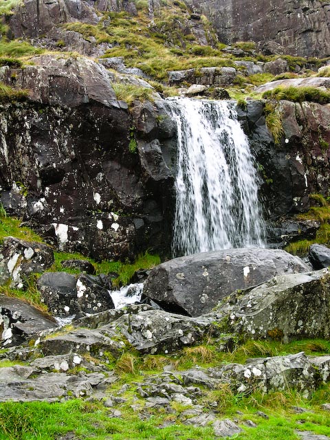
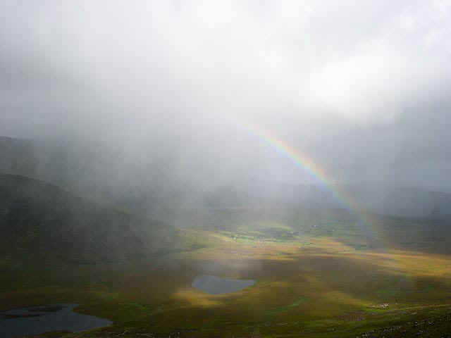
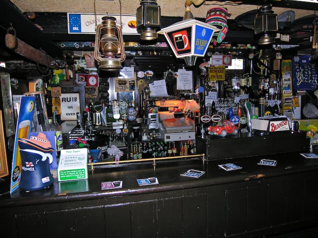
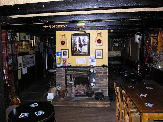
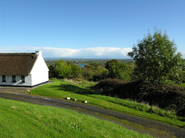
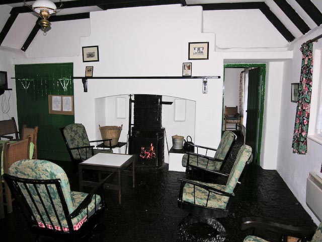
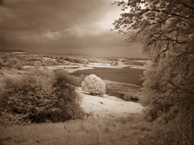
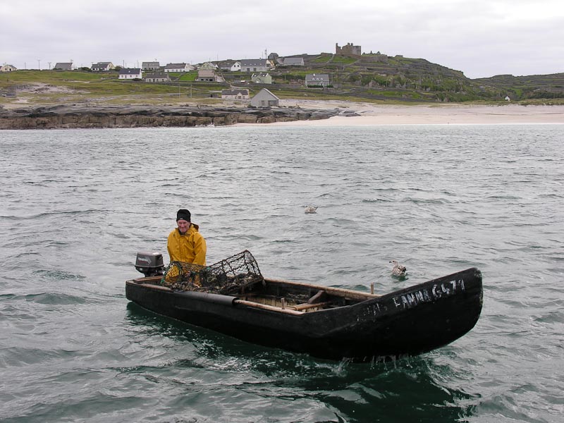

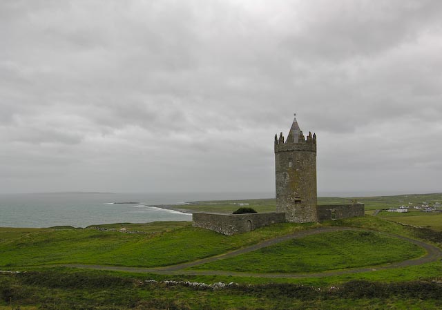
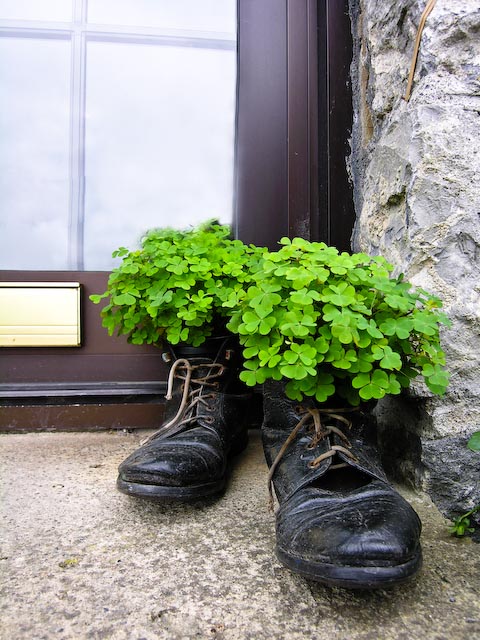
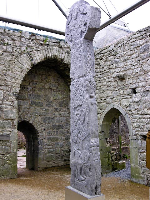


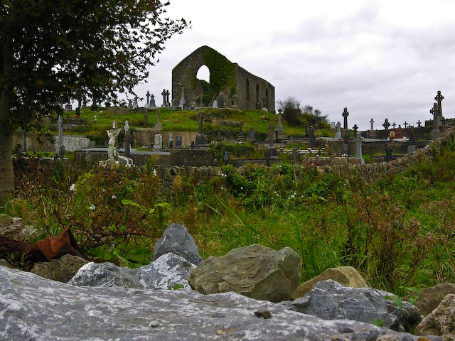

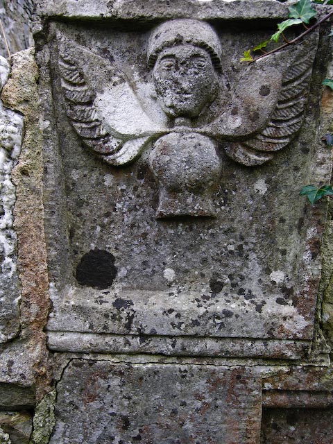
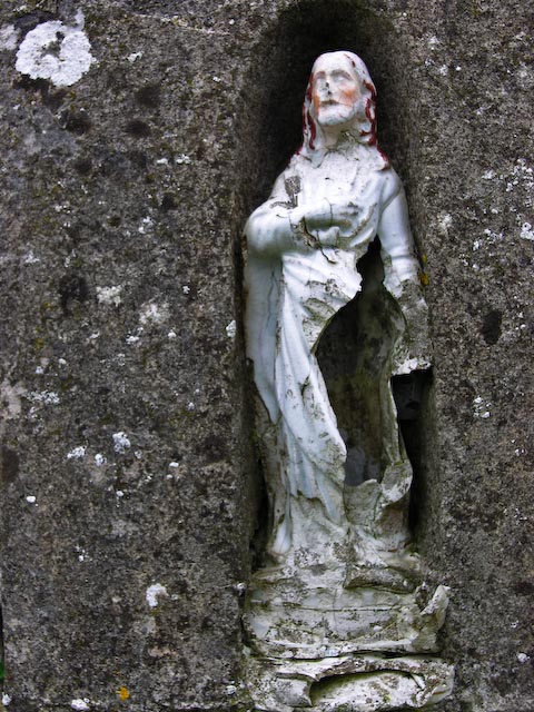
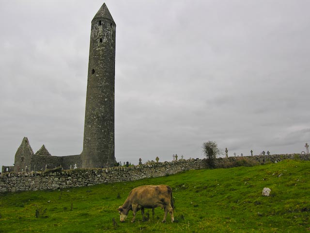
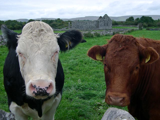
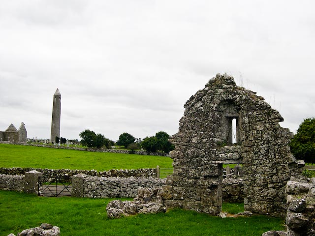
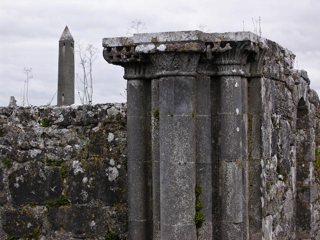
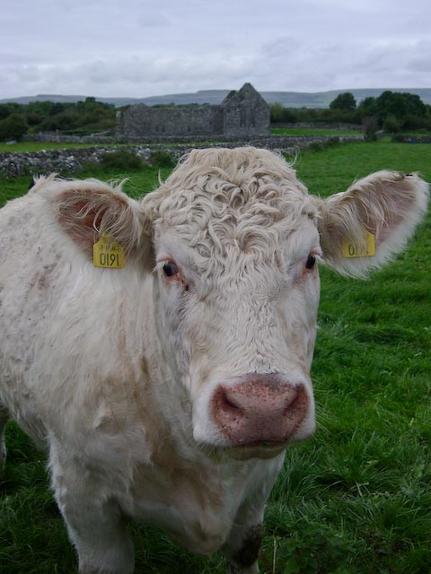
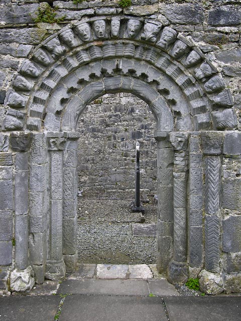
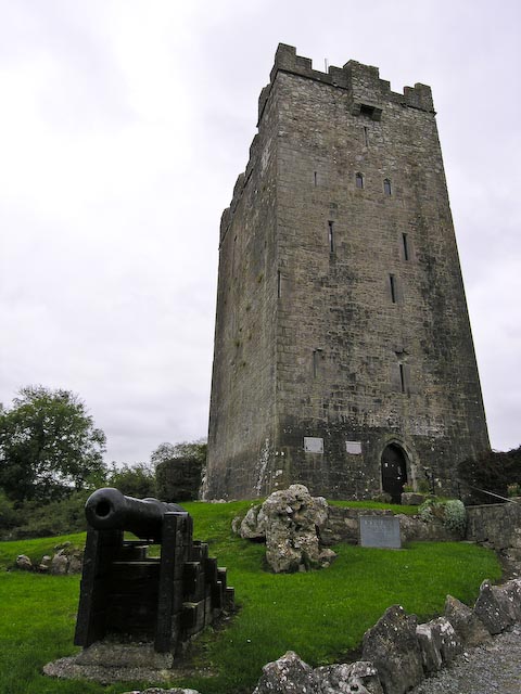
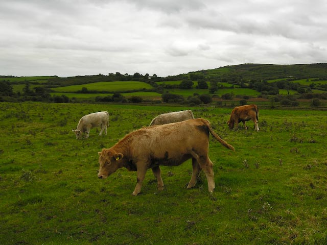
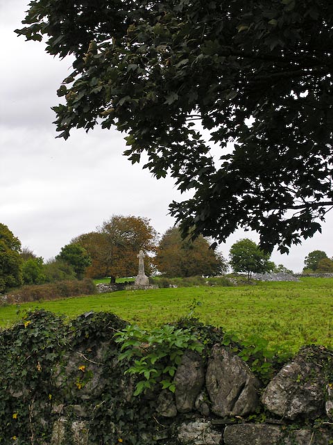
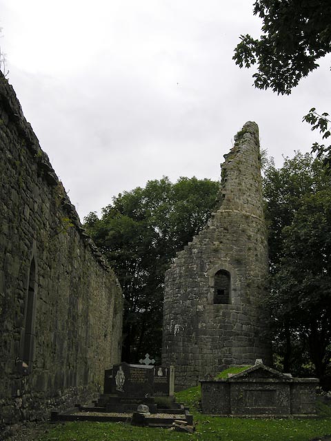
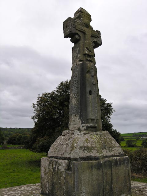
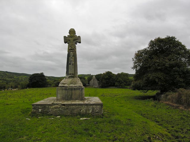
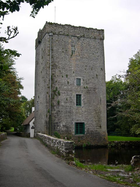
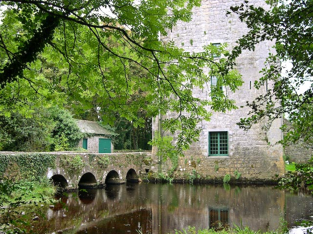
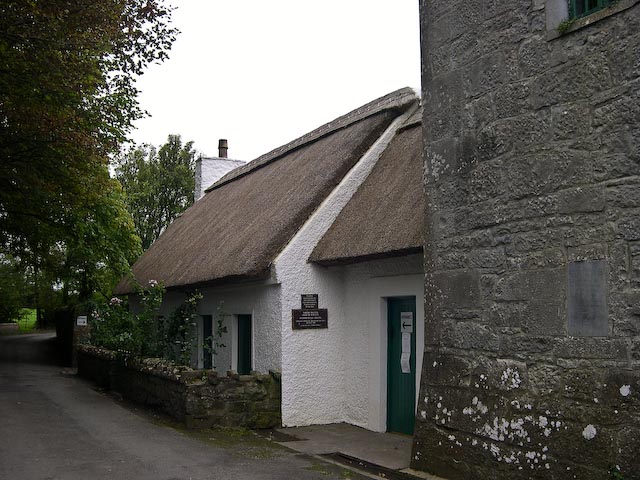
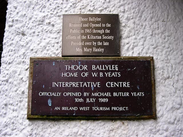
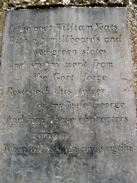
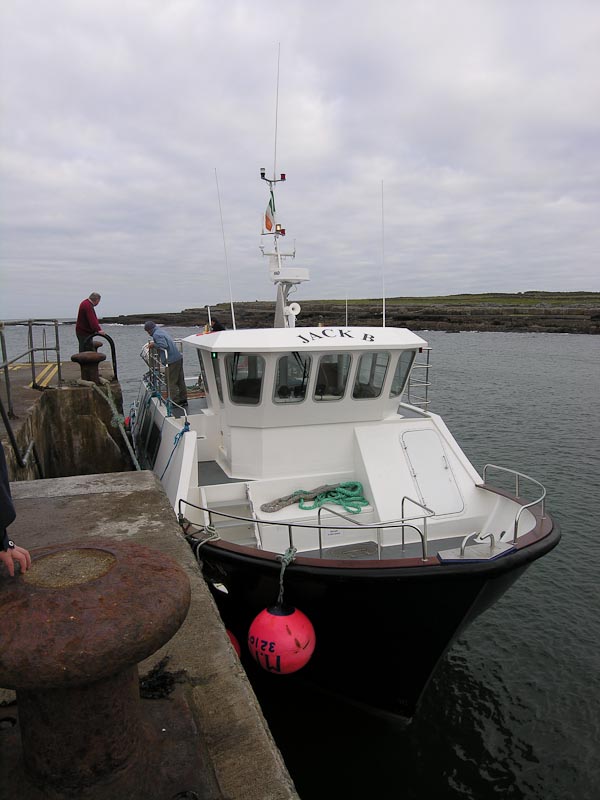
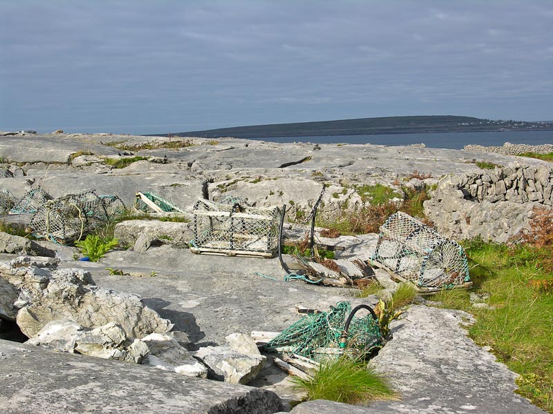
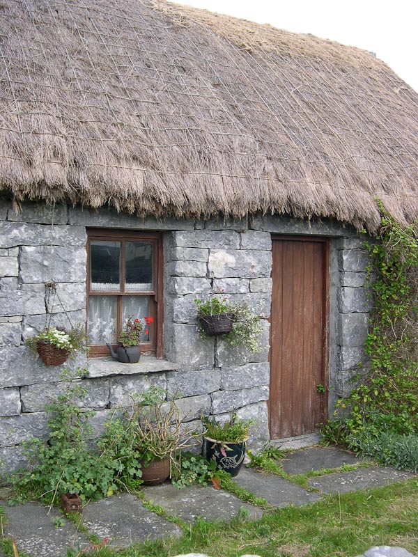
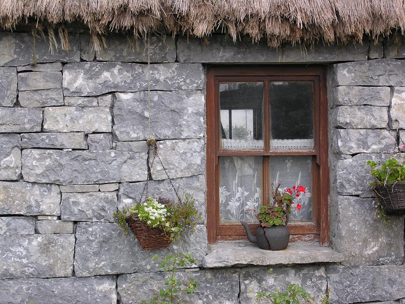

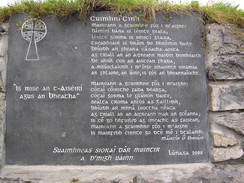
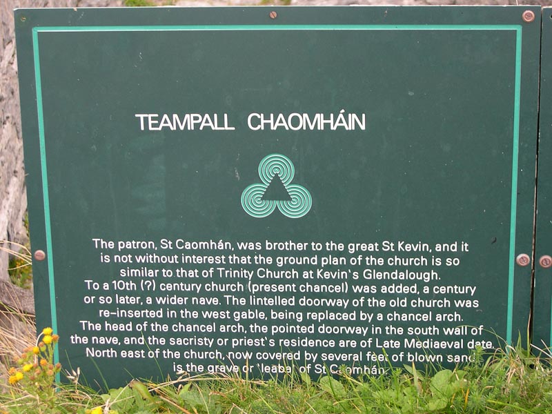
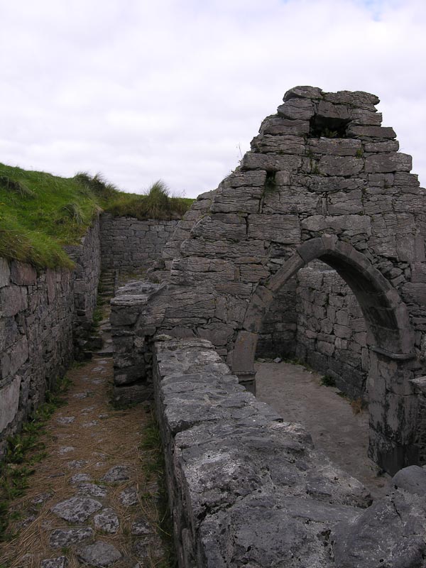
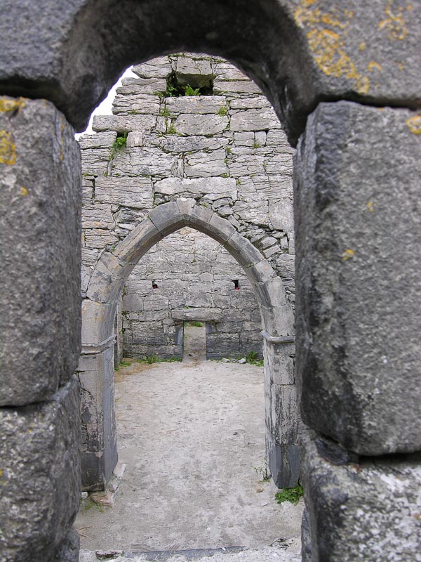
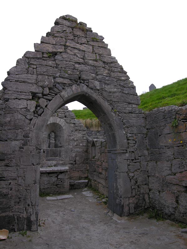
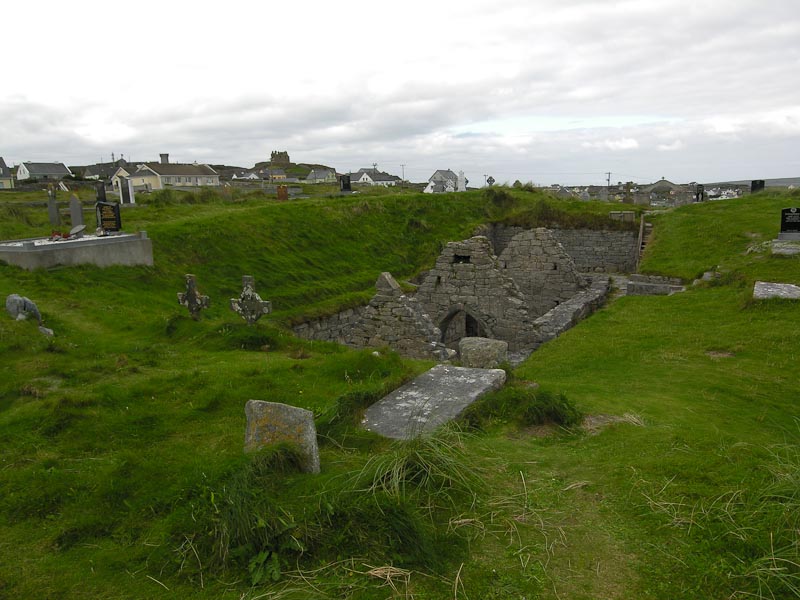
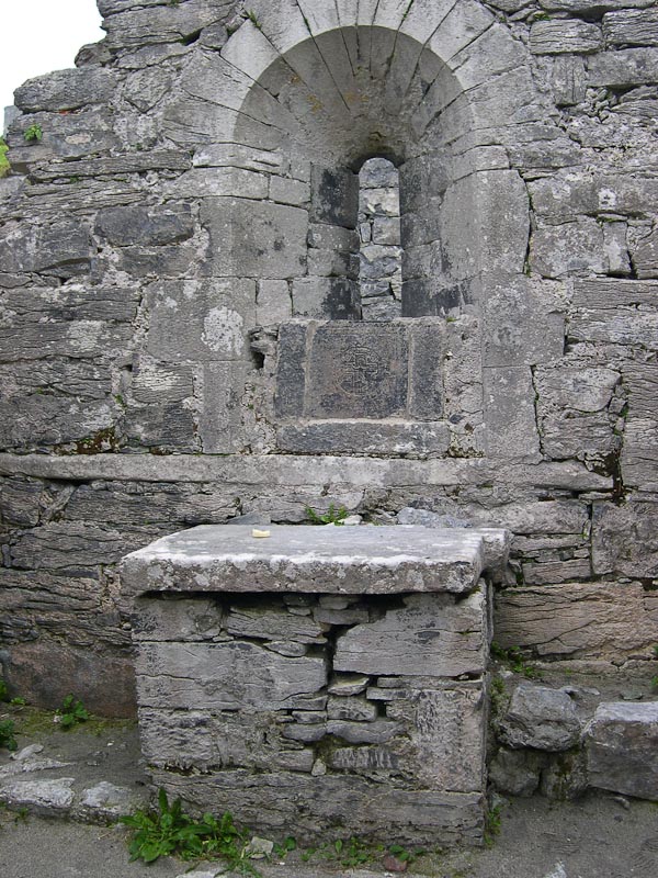
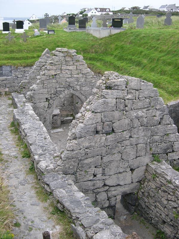
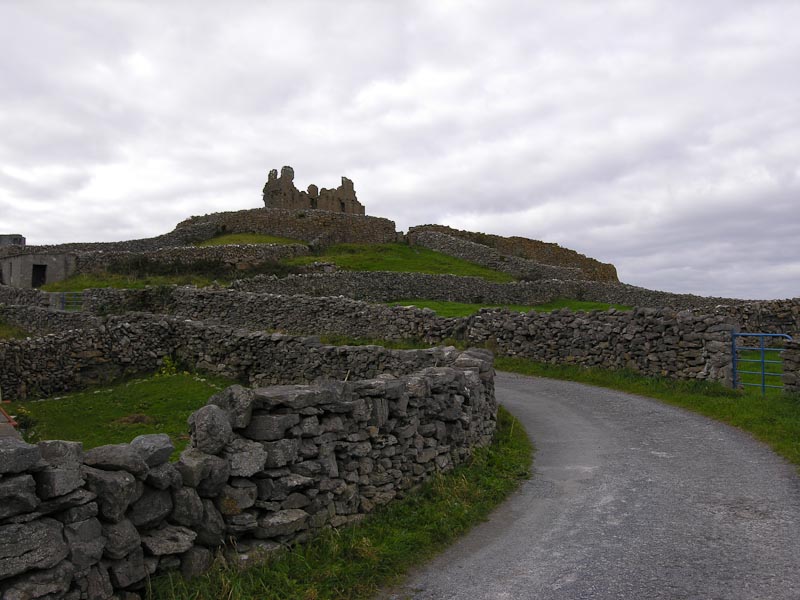
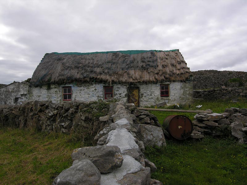
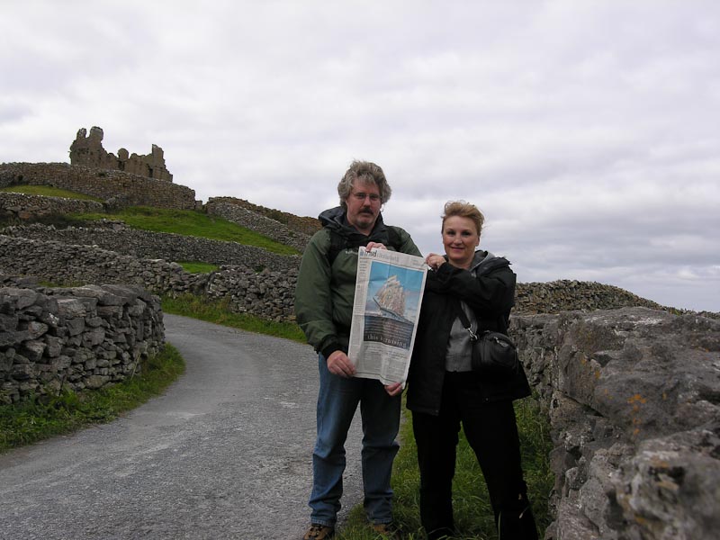
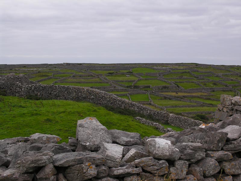
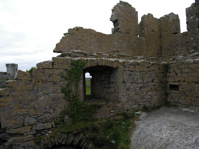
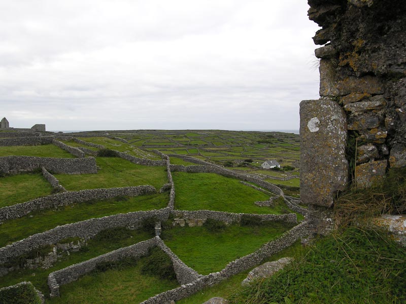
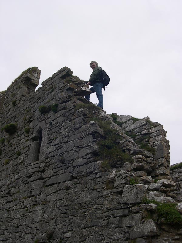
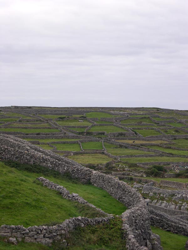
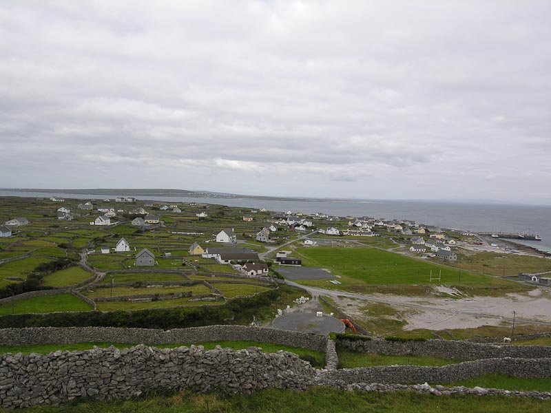
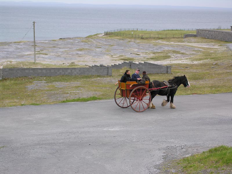
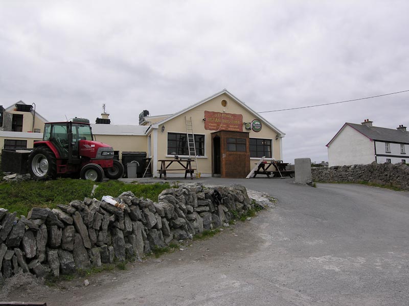
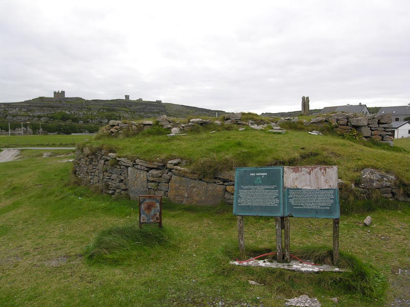
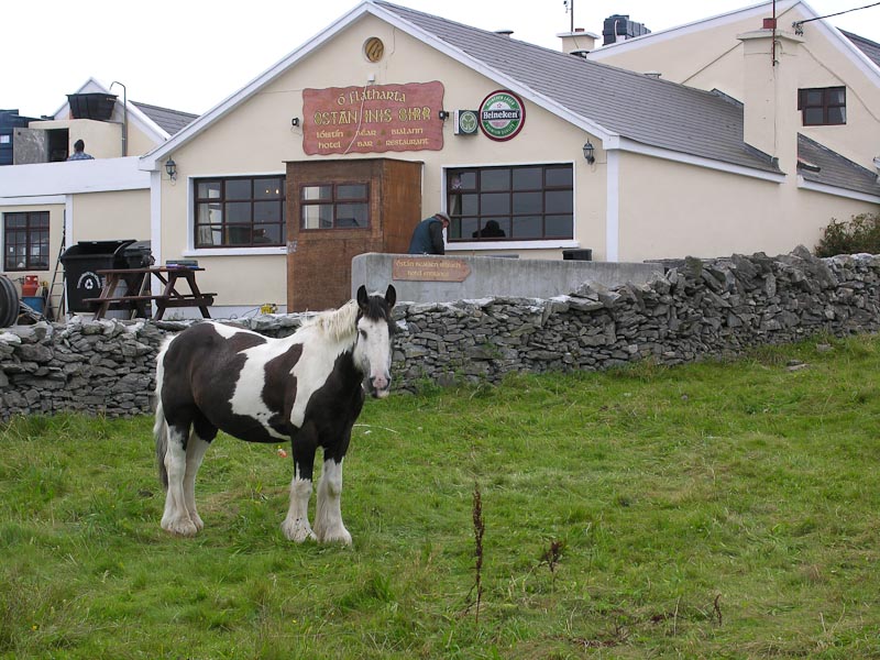

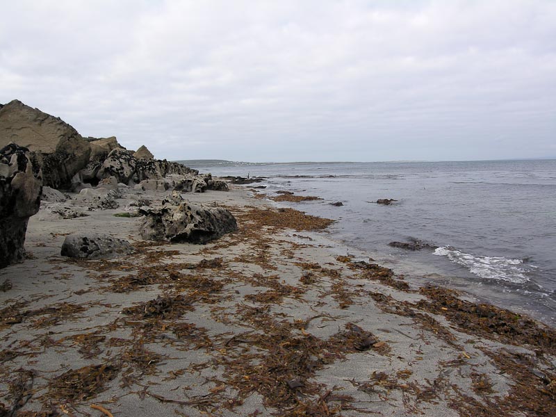


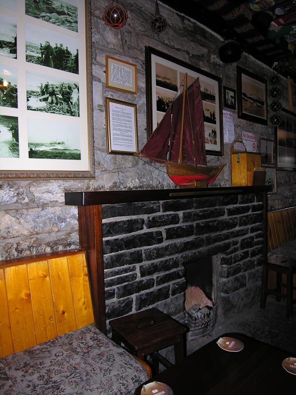
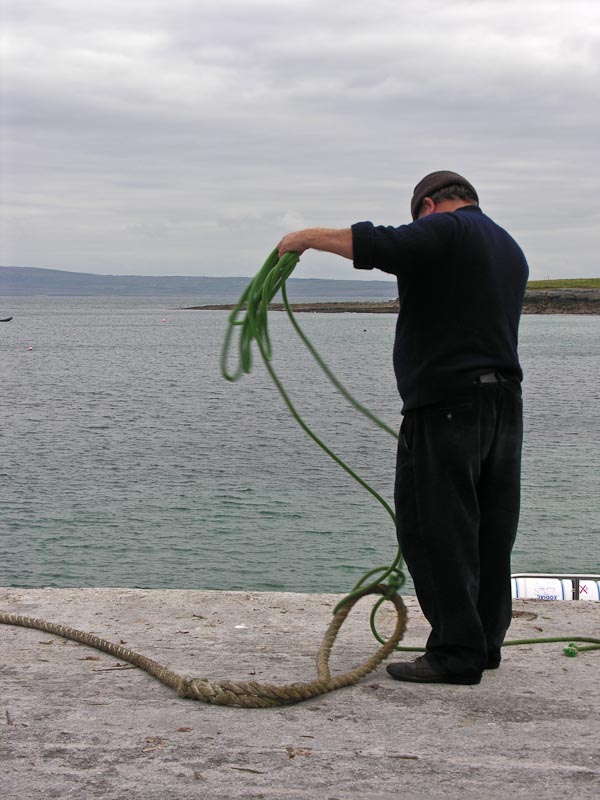
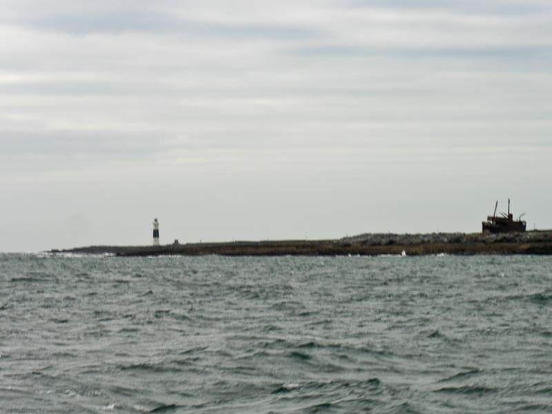

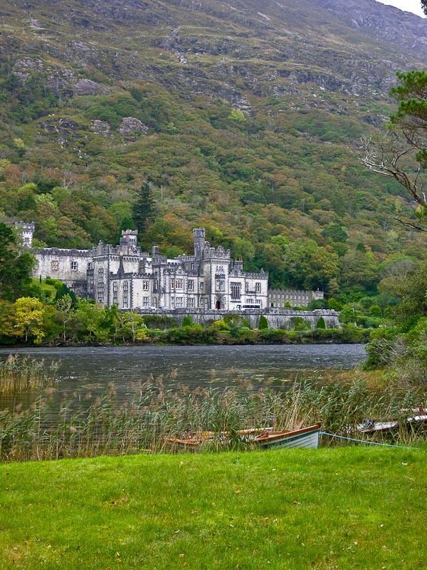
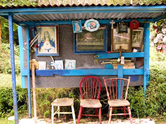
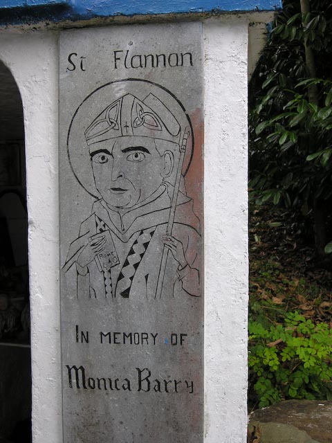
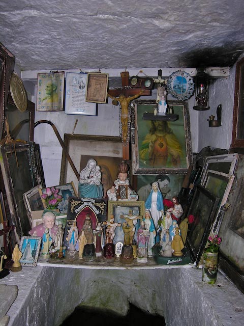
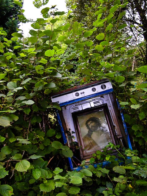
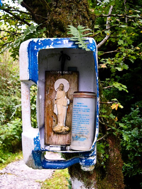

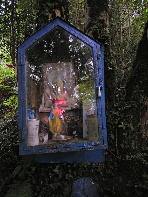

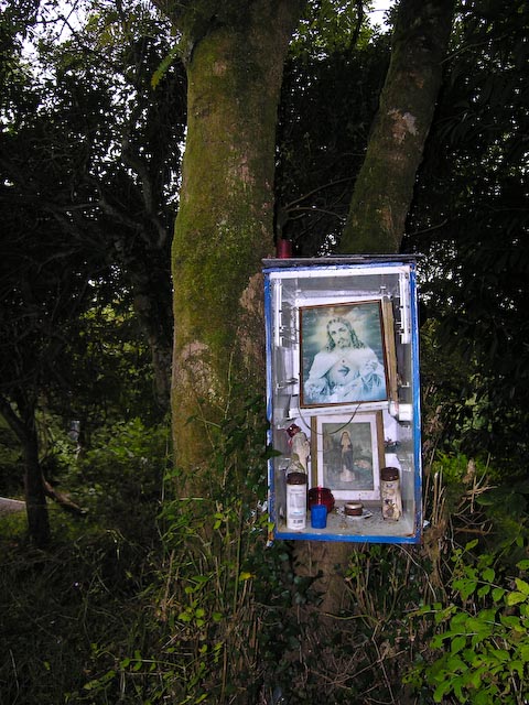
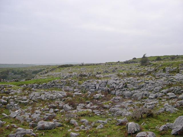
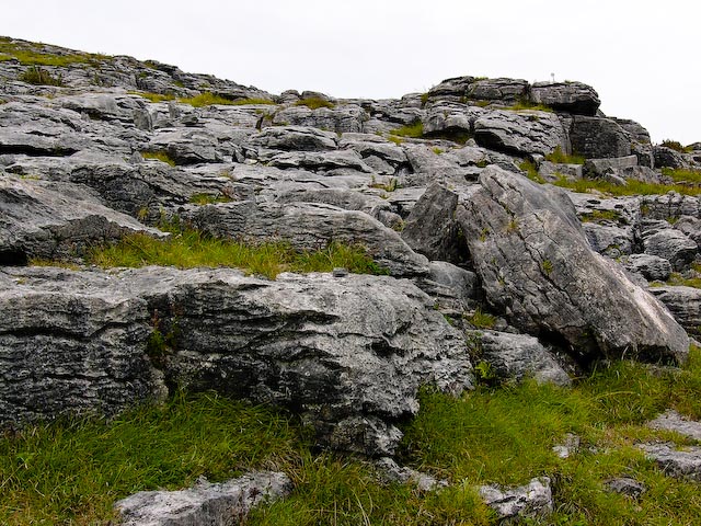
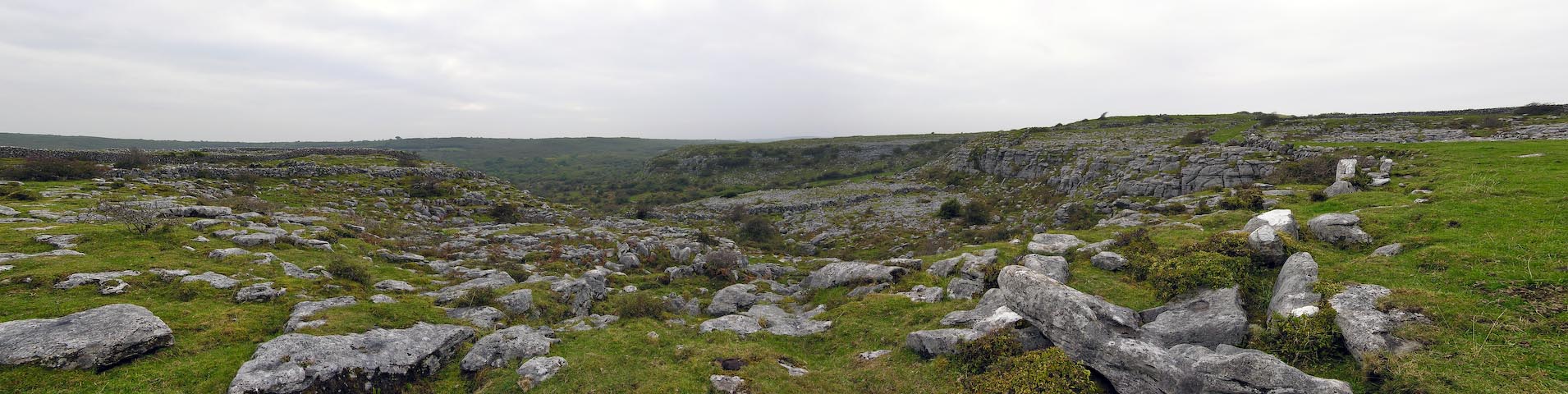
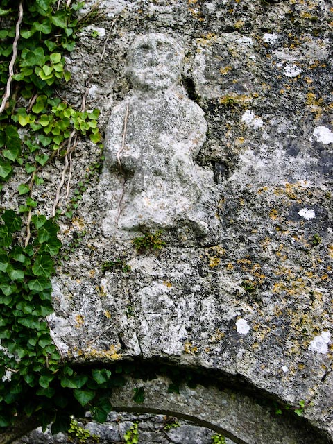
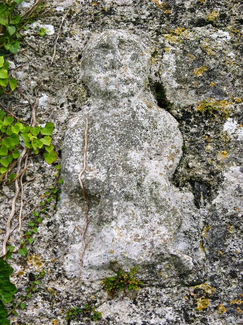

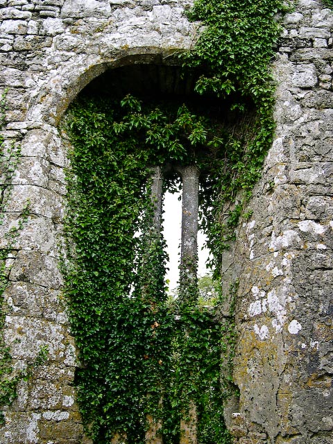
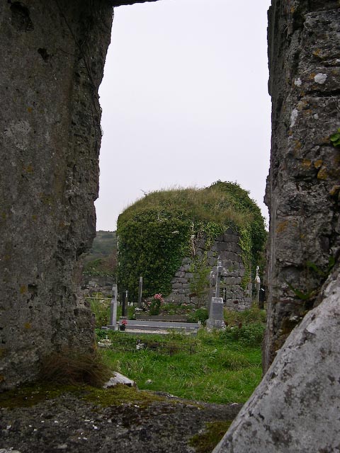
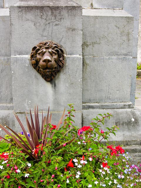
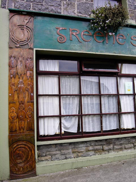
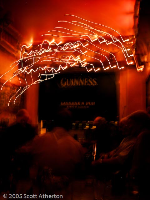
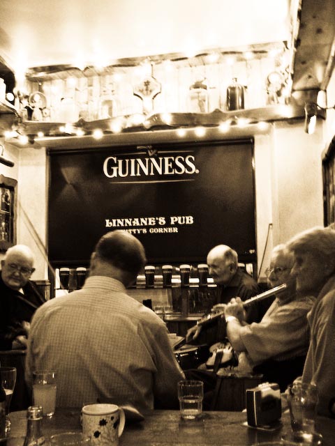
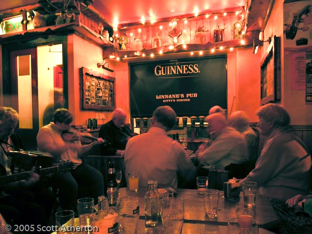
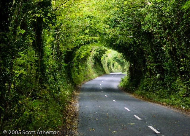

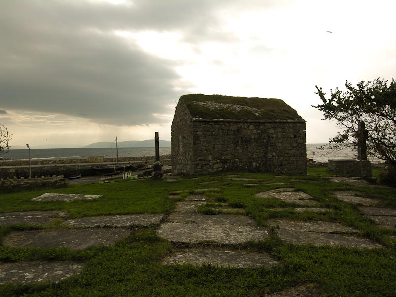
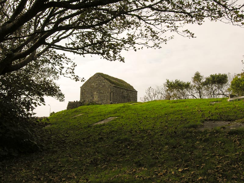

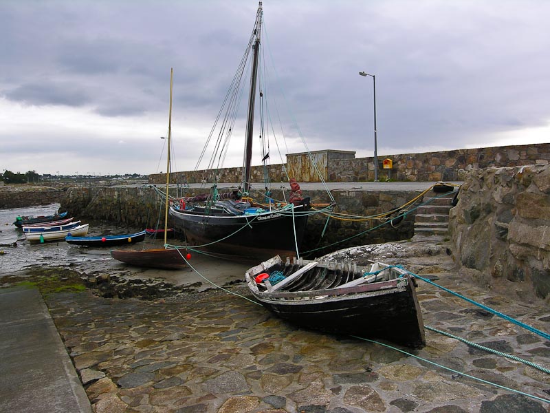
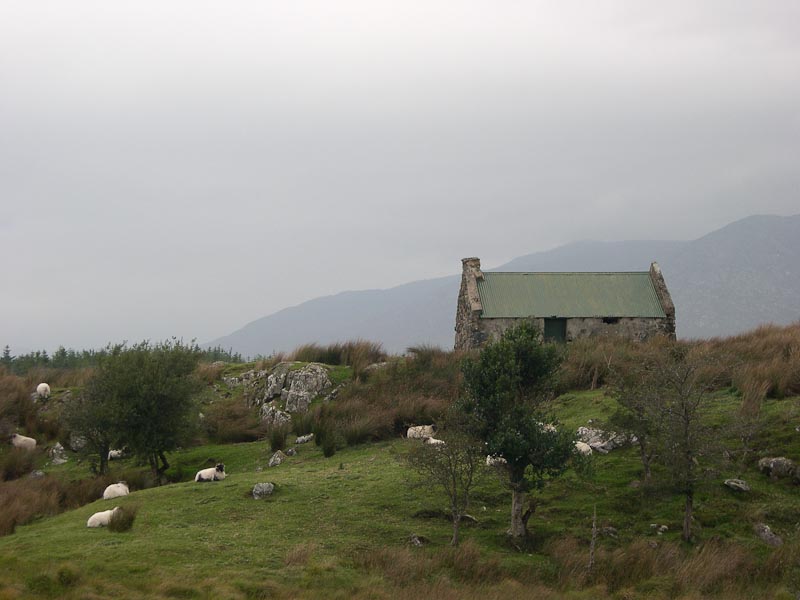
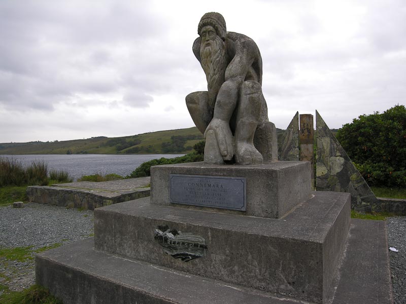
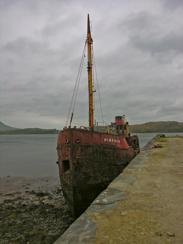
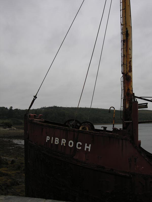
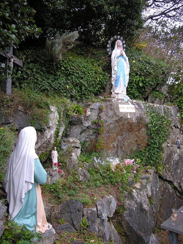
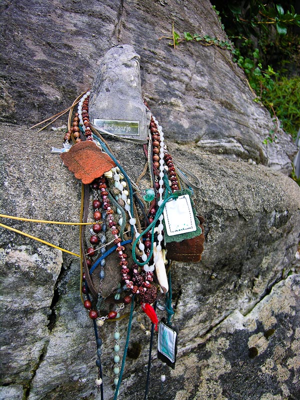
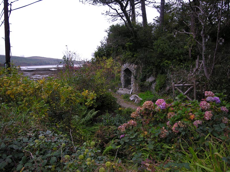
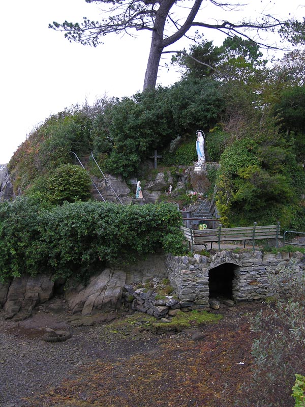
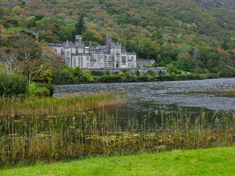
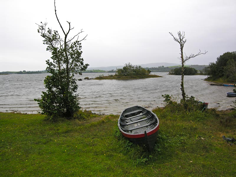
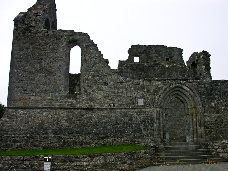
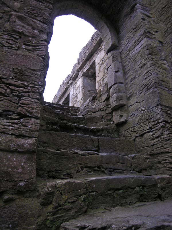
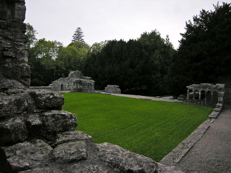
